Hello Friends,
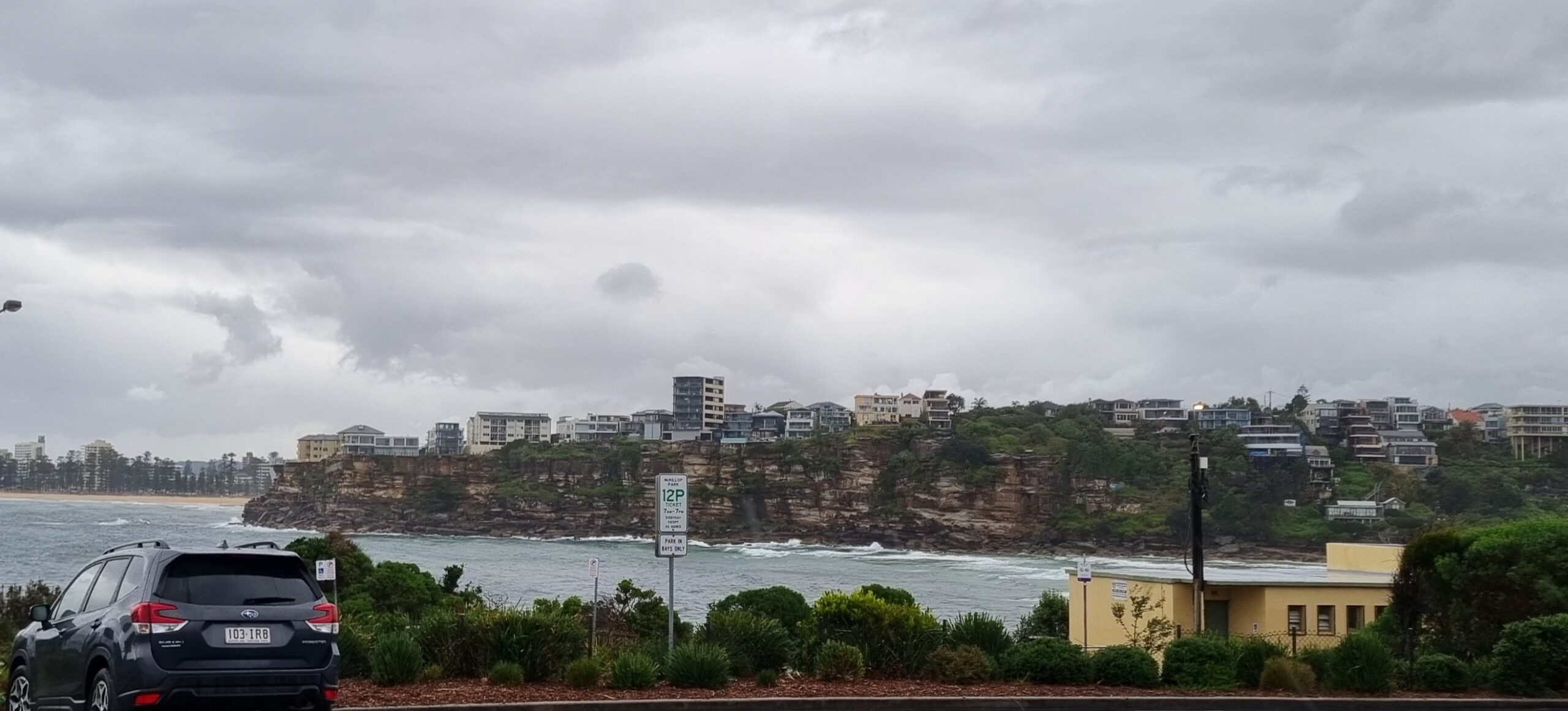
Once again our old mate Huey is testing us. Grey skies, 10-20 kts of SSW wind pushing a listless little ripple or two into the beach. It’s a couple metres out at sea from the SSW but the average period is a choppy 6 seconds. So, basically, we’ve got nothin’ to tempt us. Oh, and the forecast calls for showers and an afternoon thunderstorm or two. Lovely.
The same ghastly conditions prevail along the coast, although up along the beautiful northern rivers you’re not getting the onshores we are down this way.
Do you like southerlies? I hope so, because that’s what we’re looking at for the next four days along the entire NSW coastline. Blergh. Here’s the skinny from the Bureau:
Sydney Coastal Waters, Broken Bay to Port Hacking and 60nm seawards:
Monday until midnight: Wind: S/SE 15/20 knots reaching 20/25 knots at times.Sea: 1.5 to 2 metres. Swell: E about 1 metre.
Tuesday: Wind: S/SE 15/20 knots increasing 20/25 knots in the afternoon. Sea: 1.5 to 2 metres.Swell: S/SE about 1 metre.
Wednesday Outlook: Wind: S’ly 25/33 knots.
Thursday Outlook: Wind: S’ly 20/30 knots easing.About the only semi-bright spot in this dire outlook, is that the models continue to forecast a gradual build to a 3-4 metre peak around Wednesday. It should last into Friday. As usual the models vary a little on when the peak is expected and how big it’ll be. I like the call from wetsand.com, particularly for how it shows small south swell and okay winds on Friday morning.
Go well!


