Hello Friends,
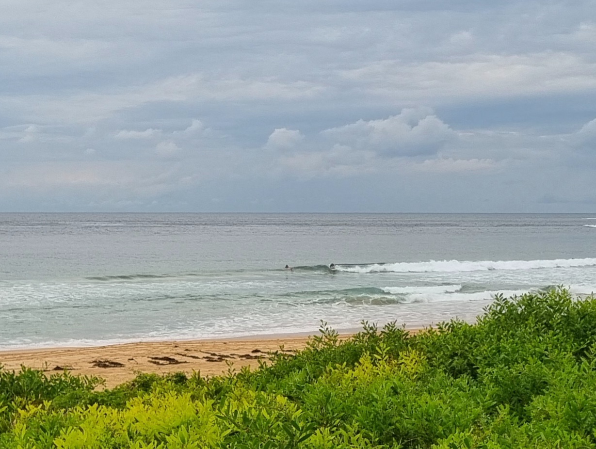
The strong wind warning has been hoisted for Sydney coastal waters this morning. As I start writing this around 0700 the SSW’ly is kicking along at 15-25 kts. The touch of westerly is helping the surface conditions at Dee Why right now, but it’s still marginal looking. About the best I saw was the little thing I caught in the picture above.
The Bureau says it’ll be shifting more to the S-SE later. And there’s no prospect of it backing off. In fact the current call is for it to peak into the 25-35 kts range tomorrow morning.
The wind should push up the swell over the next day or so. Right now the MHL buoy off Sydney is showing a couple metres of south windswell, but the average period is just 6 seconds. The models are showing it bumping up to a somewhat more respectable, but still windswelly 9 seconds. Average period down at Eden started ramping up into that range about 12 hours ago, so the longer period stuff should materialise here during the day. The average heights look as though they will build over the next 24-48 hours. If you’ve got a fast connection, you might want to watch stormsurf.com’s animation for SE Australia here as it shows the way the models think our next little pulse will develop.
Speaking of links, I’ll hunt around for something interesting to stick into our new Editor’s cool picks for you later on. When you check it out, you’ll note that I’ve put a form in at the end of the post so that you can tell me about stuff you’ve found that could be worth sharing with everybody. My general idea is to try to keep it surfing related as much as possible and I won’t be posting links to anything that I haven’t personally checked out. Anyway, here’s what I found yesterday.
Have yourself a great day!

