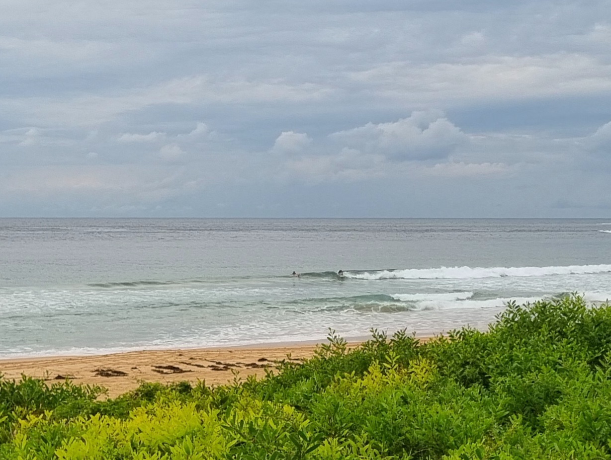
AFTERNOON UPDATE: Wind is howling along quite nicely up here in the hills behind Dee Why. The Bureau says it’s up to 20-30 kts along the coast. We’re still getting showers through the joint at regular intervals and it hasn’t warmed up at all either. Around 3 pm, we had a ten minute break between showers, so I quickly climbed up into the crows nest and pointed the Century 650mm down toward Dee Why. It looked reasonably protected, considering, but while there were a few bods in the shories, the point must not be doing much because no one seemed to be haning around out there. The period has gone up to around 9 seconds and the average height of the primary south swell at sea is up to 4 metres. But add in the windswell and sailors are looking at some potentially huge moments as the peaks hit 8 metres. Still looks as though this morning’s estimates for the next couple days are about right (see below)

Hello Friends,
You know what? It’s cold in the old Sydney this morning. At around 0800 it was only 12 outside the RealSurf wheelhouse. Yikes! Depending on where you’re standing along the coast of our region, the wind is out of the SW at anywhere from 15-30 kts. This morning’s rain should become more occasional through the day says the Bureau.
So, what’s happening with the swell? I can’t take a picture yet because of the aforementioned rain, but it looks as though there are some small (waist to chest high) sets as you move north along the beach at Dee Why. But I didn’t see anyone in the water. Funny that. Overnight the swell came back to dead south and the average size bumped up into the 3 metre range (with the seas on top of it hitting 5m). The key power setting hasn’t moved much though. It’s still around the 7-8 second mark.
The wind is set to rage along at the present speeds right through about lunchtime tomorrow in Sydney.
…

Had to run an errand, so I grabbed a couple snaps for you. Not outstandingly interesting it has to be said. Long Reef was sideshore and messy, but a little bit cleaner down toward the lagoon. But by a little bit, I mean a very little bit. The conditions are utterly horrid and uninviting in the extreme – cold, windblown and raining steadily.
Around the corner, out of the wind, there are some very tiny things coming into Whiterock. Maybe if you were a keen bodyboarder, or a super keen boardrider, you might be able to make something of the knee to waist high things getting there. If the period was a bit longer and if the swell was more around to the SE, it would be interesting.

The forecast models are showing the south swell building toward a peak sometime early tomorrow morning. Of course that’s when the marine forecast says it’ll still be very windy. With luck though it won’t disappear before the wind backs off and the weather improves on Friday morning.

Next order of business for me is to see if I can find something interesting for today’s editor’s picks. I might have a look up SE Qld way to see how things are shaping along those surf zones. The WRL cam at Snapper shows some nice lines, so I wonder if that’s a fluke or not…
Speaking of pics, how ’bout Dee Why Rob’s amazing kite shots this morning? We should get him to explain how he rigged it up…
Have yourself a top old day!

