Hello Friends,

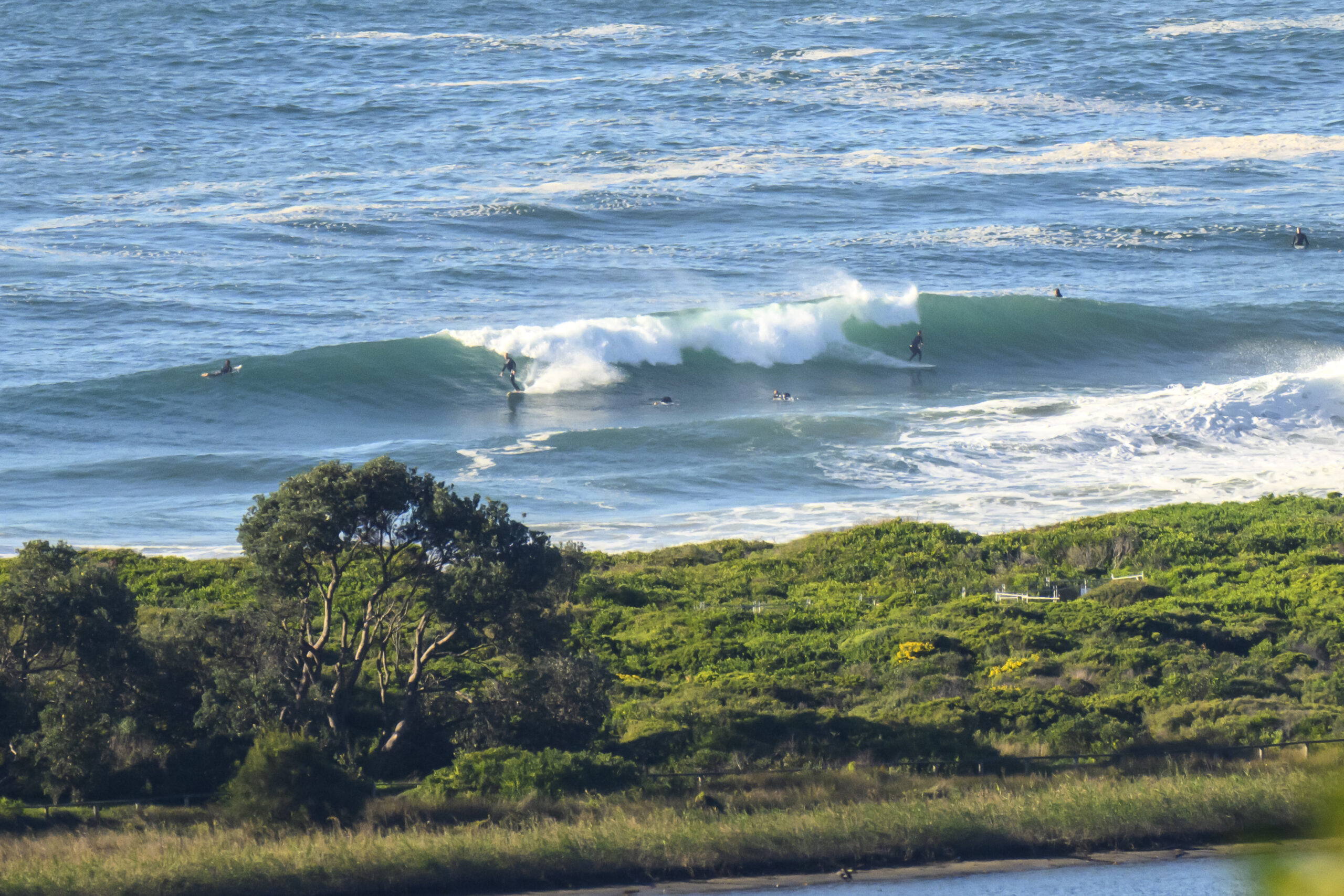
How’s your Sunday shaping up? Okay I trust. If you can’t get down to the beach today, not to worry. As anticipated it is marginal. Dee Why had a few bods bobbing around up the beach from the SLSC, but as the picture shows, it was distinctly uninspiring. Throw in SSW wind of around 10-15 kts and dull grey skies and you have a set of conditions requiring great keeness to work.
Here’s the Bureau’s call for Sunday:
Sunday until midnight: Wind: S/SE 15/20 knots, increasing to 20/30 knots during the morning, easing to 15/20 knots in the evening. Sea: rising early to 2 to 3 metres, abating to 1 to 2 metres in the evening. Swell: E/NE 1 to 1.5 metres turning SE 1 to 2 metres.
Monday: Wind: SE/E 5/10 knots, tending NE 10/15 knots.Sea: 1 to 1.5 metres. Swell: S 1.5 to 2 metres.
The forecast models show the same general outlook as the Bureau (hardly surprising as everybody’s using the same basic data). But they also project the likely period and on that front the news is fairly ho-hum. The current 7 second stuff we’re seeing in the Sydney region looks set to continue through Monday. Around about Tuesday, the primary direction looks set to swing a bit more to the east and as the average height drops, the period could push up a touch. Consequence? More punyness I’d say.
At the moment, it looks as though the Sydney region’s best hope for a wave of any consequence will be from around Thursday on – at beaches with ENE exposure. One of the models (virtualbuoys) reckons Thursday morning could have light offshores and 3 metres of 8-9s ENE windswell… that’d be nice!
Go well with your day!

