Hello Friends,
Another early riser’s call for ya.
At 0330 this morning the wind was still 8-12 kts from NNE. By the time it gets light, the Bureau says you can expect it to be around the same velocity. As the day warms up, the NE will accelerate and the call is for up to 20-30 kts by this afternoon.
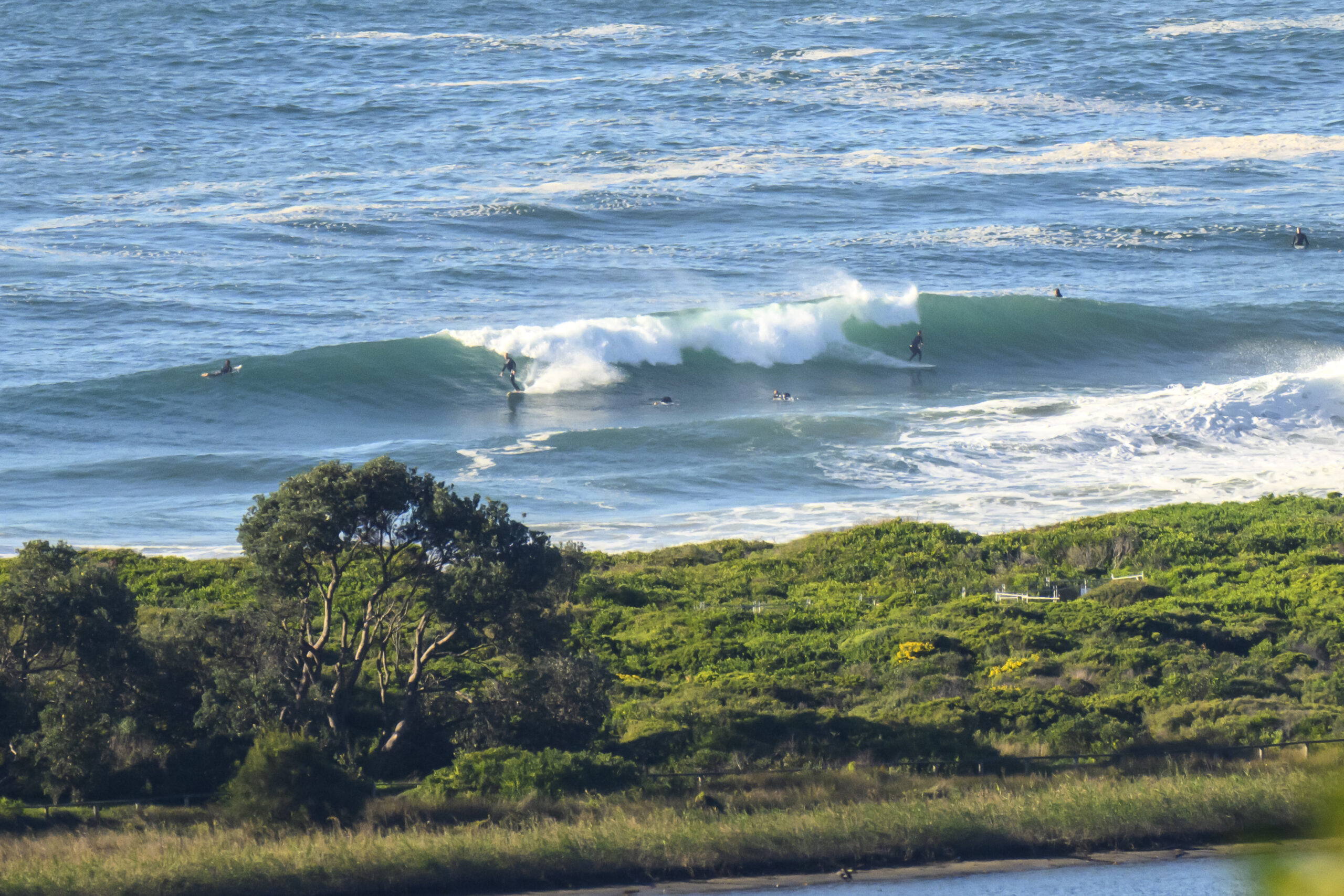
Given the dire state of the waves yesterday at many places, I wouldn’t be too hopeful about this morning’s prospects. However, there should be something in the way of a little wind wave in those semi-protected corners late in the afternoon – particularly if the wind happens to throttle back a little toward dusk.
Bureau says the swell is out of the SE at 1.5 metres. The nearest operational MHL buoy to the south of Sydney is at Batemans Bay and it’s currently showing a metre of (wind)swell at about 7 seconds coming from the NNE. So, not too fab looking prospects-wise.
Sydney’s set for another toasty one with highs in the upper twenties on the coast, grading to mid-thirties inland. Cloud is expected to increase later in the day and there might even be the odd afternoon thunderstorm. Typical summer weather.
It looks to me as though this general pattern is likely to persist through the rest of the work week and into the start of the weekend.
Go well with your day!

