Hello Friends,
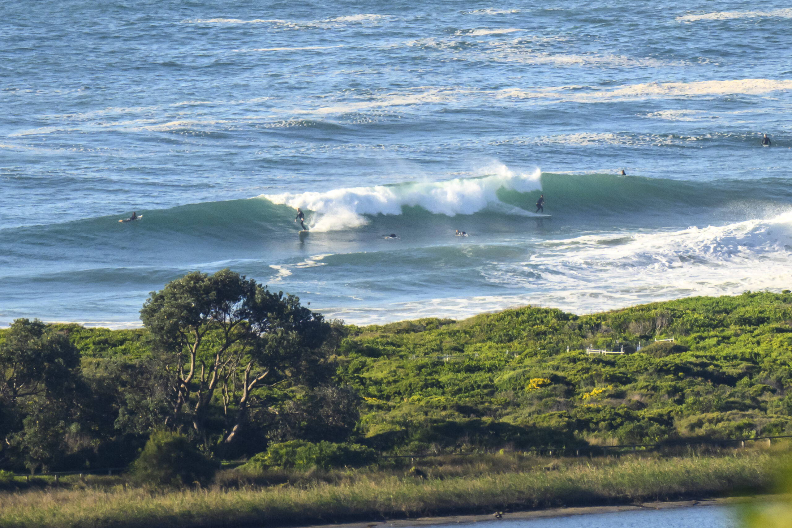
At first light, Dee Why presented a picture of calm, of stillness, of placidity and of near flatness. A single figure could be seen lazily stroking just off the beach on his SUP as the first rays of 17 March 2009 arrived at the northern beaches.
Wind was light to begin with and the swell was about a metre at sea from the SSW. It’s only 6 seconds apart on average, so I’d be surprised if one could find much of anything to surf anywhere in NSW, given that the MHL data appears to be showing Sydney being about as ‘big’ as anywhere.
Here’s the Bureau’s call for the next four days:
Sydney Coastal Waters, Broken Bay to Port Hacking and 60nm seawards:
Tuesday until midnight: Wind: SW 13/18 knots, turning SE 13/18 knots in the afternoon. Sea: about 1.5 metres. Swell: SE 1 to 1.5 metres.
Wednesday: Wind: N/NE 10/15 knots, increasing to 15/20 knots later. Sea: 1 to 2 metres. Swell: S 1.5 to 2 metres.
Thursday: Wind: NE 5/15 knots.
For what it’s worth, the models seem to be showing a south pulse of fairly modest proportions for tomorrow. Basically they agree with the Bureau: ie 1-1.5m sse swell, but they add the extra intelligence of a period forecast (around the 9 second mark).
At this stage it looks as though it will drop back a little on Thursday as the windswell swings more to the east. I reckon that means it’ll be around waist high at the biggest spots through about Saturday.
Go well with your day. I shall try to get back later with an update, particularly if I spot any south forerunners…


