Hello Friends,
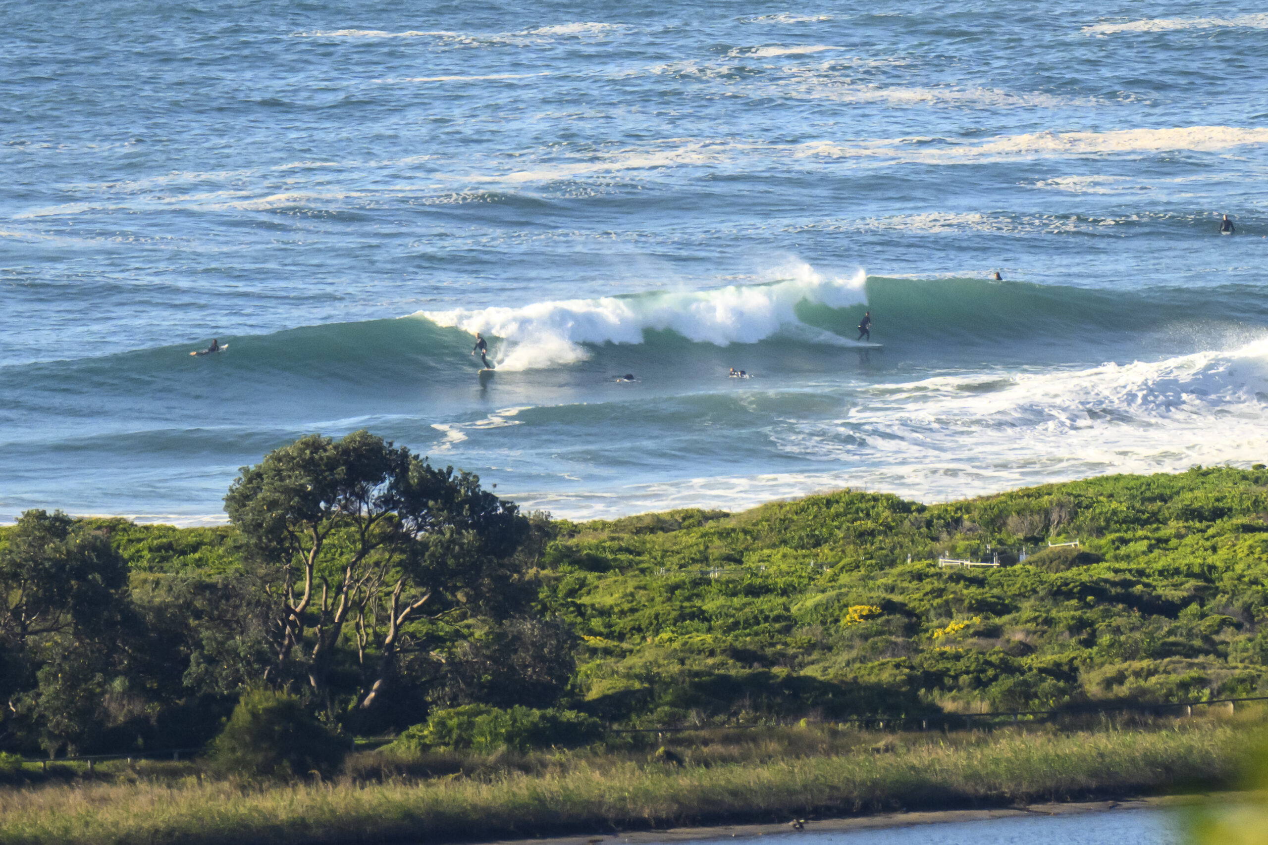
It’s firing once again. Average size of the SSE swell at sea is around the 3 metre mark and average period is running at about 10 seconds. This is translating into shoulder to head high waves with well overhead bomb sets at Dee Why (and, no doubt, other exposed beaches).
The day started overcast and cold (by Sydney standards). Wind not much of a factor but the 10C air is. According to the Bureau, we’re due to see a shower or two developing later in the day along the coast. It should warm up to around 19 though.
As noted in the summary below, the Bureau expects our swell to fade a little today. Sydney continues to cop the brunt of the energy along the NSW coast, so what we have happening at ESE spots is probably as good as anywhere in the State.
Here’s the latest from the Bureau
Sydney Coastal Waters, Broken Bay to Port Hacking and 60nm seawards:
Wednesday until midnight: Wind: S/SW 10/15 knots, reaching 15/20 knots offshore at first tending SE 10/15 knots in the afternoon.Sea: 1 to 1.5 metres.Swell: S/SE 2 to 3 metres decreasing.
Thursday: Wind: S/SE 10/15 knots.Sea: about 1 metre.Swell: S/SE about 2 metres.
Friday: Wind: NW/SW 5/15 knots.


