Hello Friends,
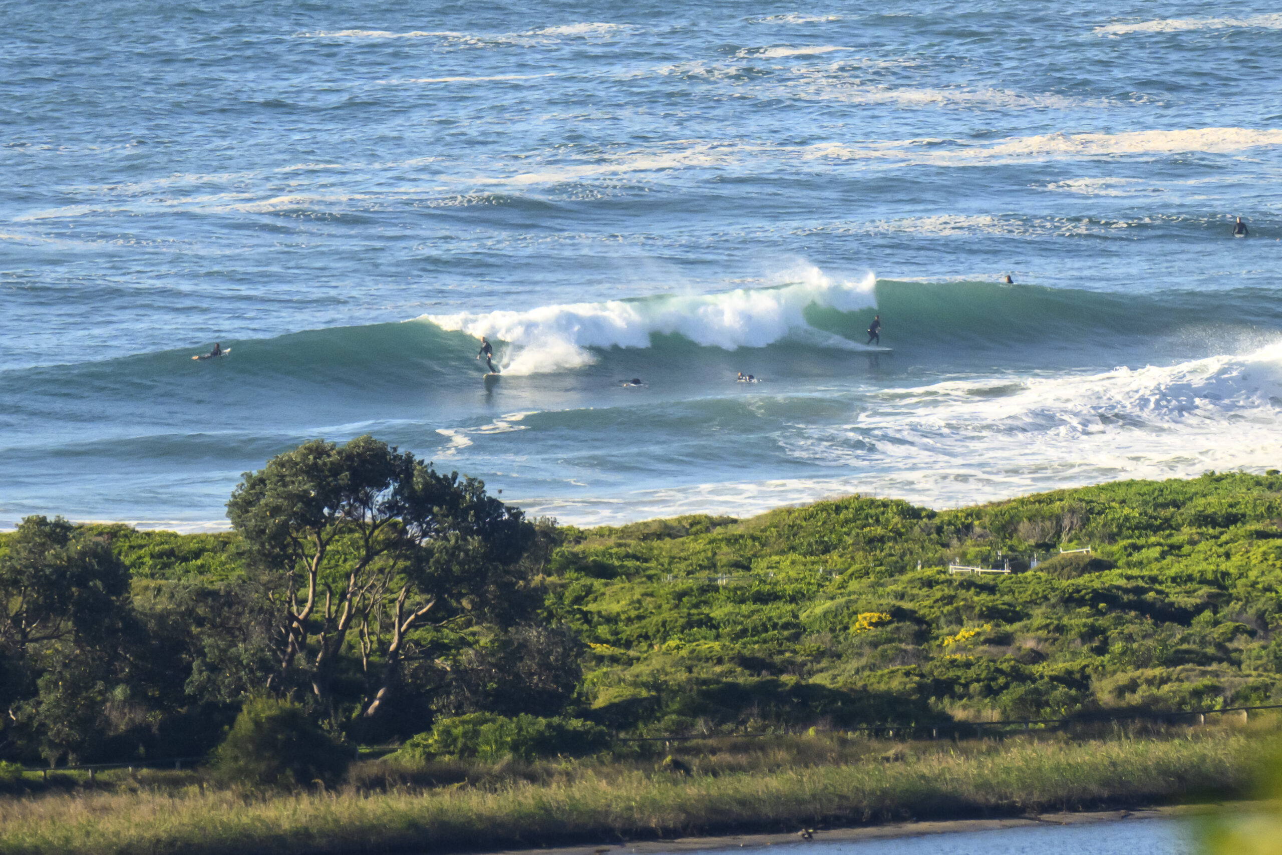
Swell is now averaging around a metre from the ESE in Sydney. Fortunately the period is 10 seconds, so there are still some fun looking chest high sets at Dee Why beach (and, I have no doubt, numerous other locales). The point is smaller and less consistent, but there are a few bods in attendance to make sure nothing gets through unridden.
At 0730 it looked almost glassy, but the Bureau’s call (see below) is for SW-S change to rattle through the place this morning. With luck, the swell should stick around through the day. If you’re waiting for the post high tide opportunities (it’s at 1033), you should be in with a chance. Could be a shower around later though.
From Thursday onward it would seem that we’re in for increasingly southerly conditions. The models are showing the swell pushing up into the 3-4 metre range from the S to SSE, but with 15-20 kts of ESE wind. So, not all that attractive looking really.
Have yourself a great old day!
Sydney Coastal Waters, Broken Bay to Port Hacking and 60nm seawards:
Wednesday until midnight: Wind: W/NW 5/10 knots, ahead of a SW/S change 13/18 knots during the morning. Sea: to 1 metre, rising to 1 to 1.5 metres. Swell: E/SE about 1.5 metres. Possible thunderstorms.
Thursday: Wind: S 15/25 knots. Sea: 1.5 to 2.5 metres. Swell: SE 1 to 1.5 metres.
Friday: Wind: S 20/30 knots.


