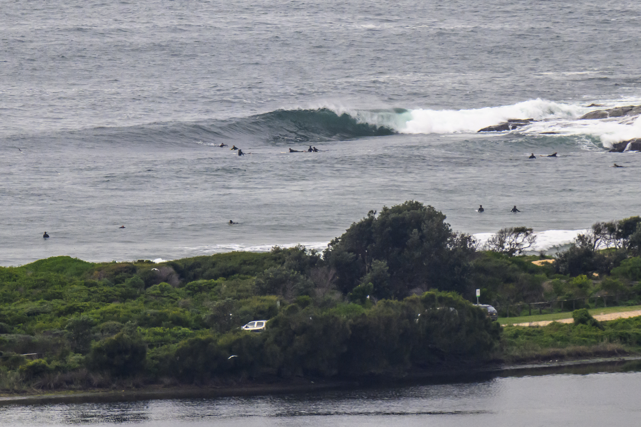
Hello Friends,

From the look of the models, I’d say we’re not too likely to get waves on the east coast until maybe Sunday – and then they’ll only be tiny (assuming the computers have it right).
So, as you were ladies and gentlemen. Huey’s on business elsewhere for the time being.
Synoptic Situation
A ridge extending from the high over the northern Tasman Sea will be associated with NW/NE airstream along NSW coast during Thursday and Friday. A low pressure trough is expected to approach the coast from the west on Saturday bringing an increase in N/NW winds.Sydney Coastal Waters, Broken Bay to Port Hacking and 60nm seawards:
Thursday until midnight: Wind: W/NW 15/20 knots early, tending NW/NE later in the morning. Sea: 1 to 2 metres.Swell: S 1 to 1.5 metres.
Friday: Wind: NW/NE 10/15 knotsSea: 1 to 1.5 metres. Swell: S/SE about 1 metre.
Saturday: Wind: N/NW 20/30 knots.

