Hello Friends,
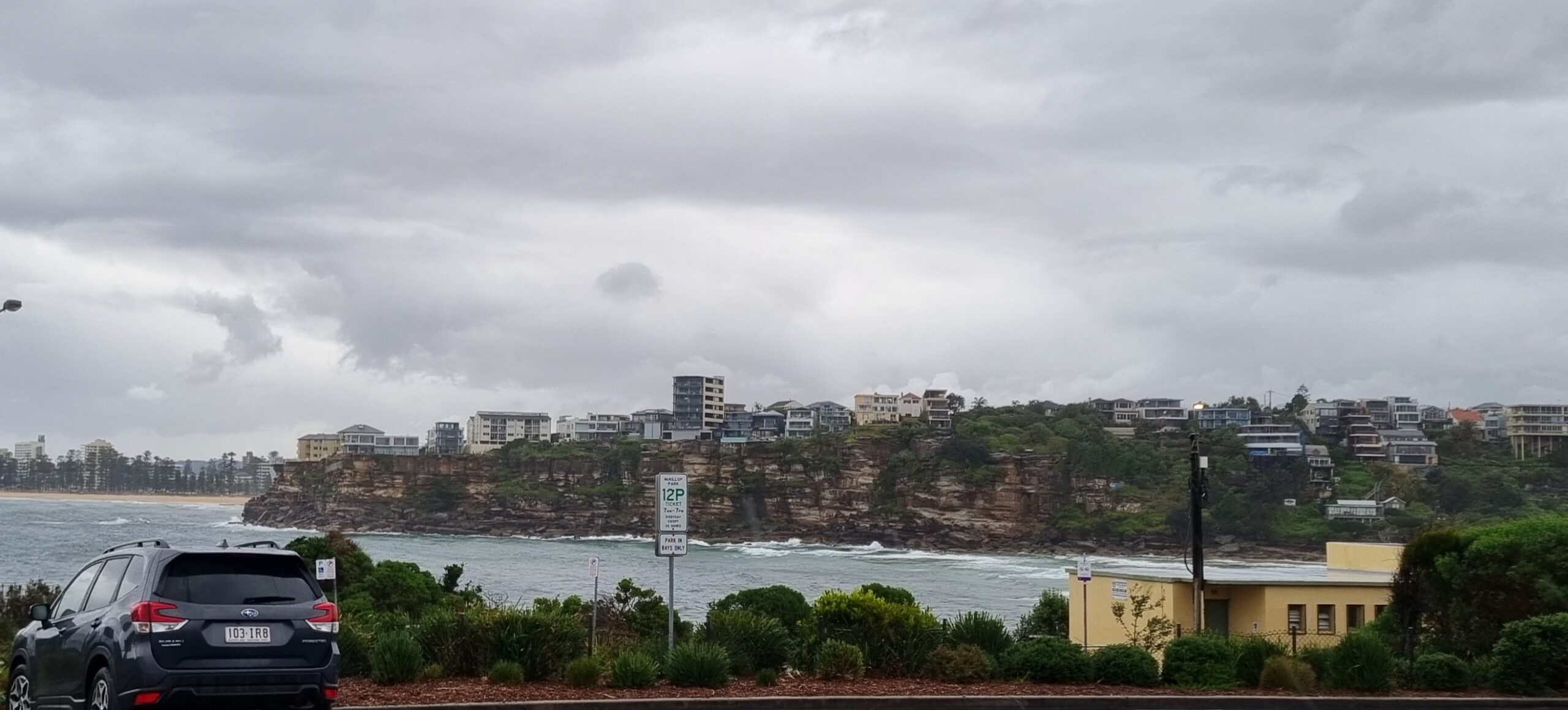
Got swirled up into the morning routine and so am running late with my report. As of 0900, I still can’t get a picture of Dee Why from my place. The latest from the Bureau is that we can expect this Baghdad style dust storm to only clear up late in the day. You wouldn’t want to have to put up with this day in and day out.
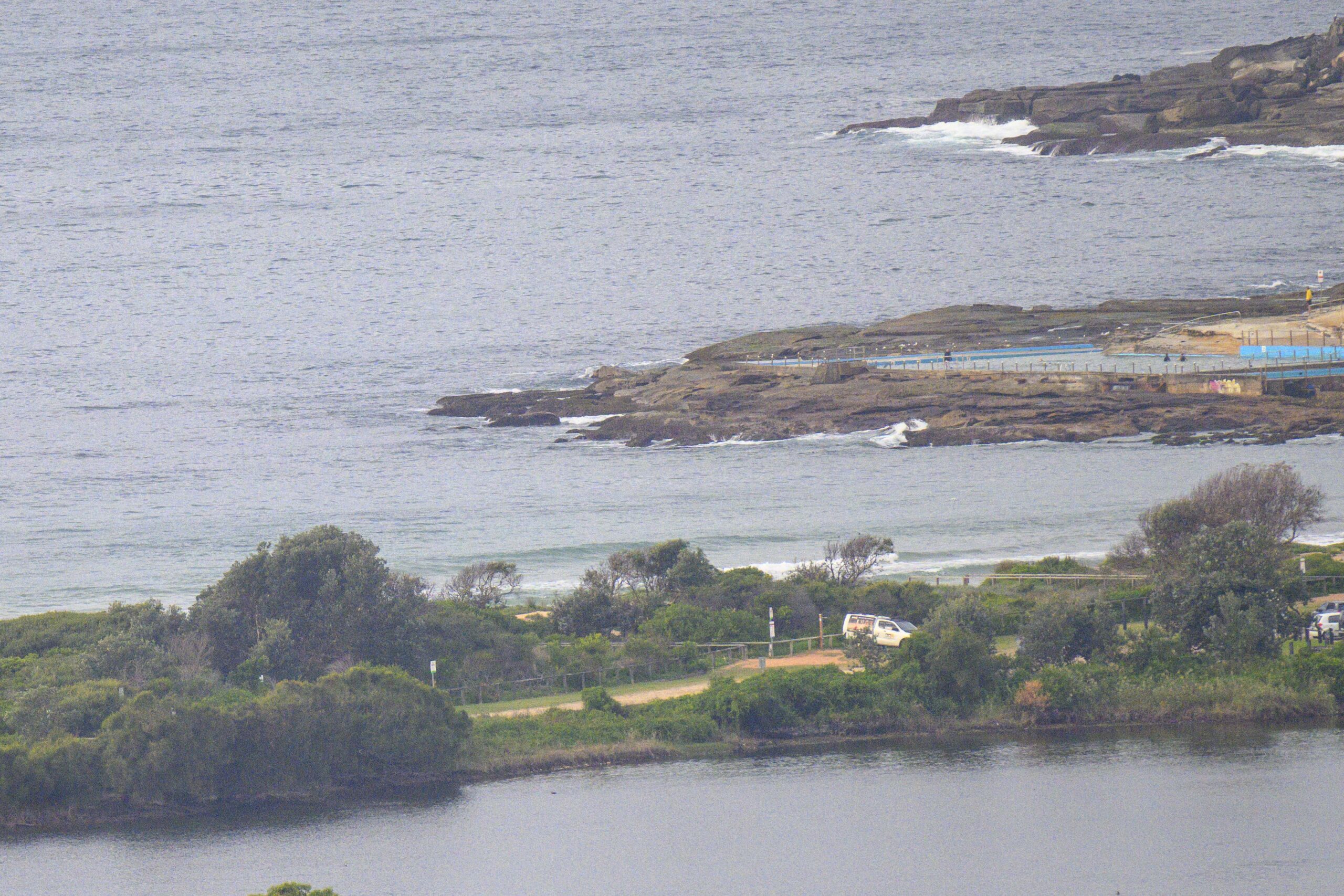
The wind bringing this dust is pushing along in the 20-25 kt range from the NW. Intriguingly there were little NE wind waves getting into North Narrabeen around 0730 this morning. I have to confess to being surprised at how surfable the waves were. They’re short period and the tide was already filling in, so the juice factor was lacking.
While you might be able to scare up a little something in the way of a wave this morning, tomorrow and Friday are really looking interesting. We might even see something as early as the end of today.
At around daybreak, the Batemans Bay buoy detected the primary swell direction changing to the south. At the same time peak periods leapt from a windswelly 8 seconds to a groundswellesque 12-13 sec. That’s a serious boost to the power levels, but it will probably be late afternoon before the forerunners start becoming obvious here.
But come tomorrow the Bureau tells us that they agree with the models’ call of the last few days, ie solid south swell with offshores in the morning.
And it should stick around for a couple days (although the peak will be tomorrow). What’s more, the long range models are showing the prospect of a repeat performance on Monday morning. Woo-hoo!
Tides: H 1106, L 1740
Synoptic Situation
A strong frontal system is crossing northeastern NSW, with an associated with a deep low off the far South Coast. Winds will strengthen ahead of this front, reaching gale force along most of the coast today before gradually easing later today and overnight as the low moves further out into the Tasman Sea. A high pressure ridge will develop across northern NSW on Thursday then move into the Coral Sea on Friday as another front moves into western NSW. This front is expected to cross the coast early Saturday.Sydney Coastal Waters, Broken Bay to Port Hacking and 60nm seawards:
Gale Warning.
Wednesday until midnight: Wind: W/NW increasing to 35/45 knots early, easing to W/SW 25/35 knots late afternoon, and to 20/30 knots inshore during the evening. Sea: 3 to 5 metres, abating to 2.5 to 3.5 metres later. Swell: NE 1 to 2 metres, with S/SW 3 to 4 metres developing.
Thursday: Wind: W/SW 20/30 knots, easing to 15/20 knots during the morning, then S/SE 10/15 knots during the afternoon.Sea: 1 to 2 metres, reaching 2 to 3 metres early.Swell: S/SW 3 to 4 metres.
Friday: Wind: NW 10/15 knots at first, turning N/NE 15/25 knots in the afternoon/evening.
There are little waves to be had. Tide an issue, and of course there is the dust…


