Hello Friends,
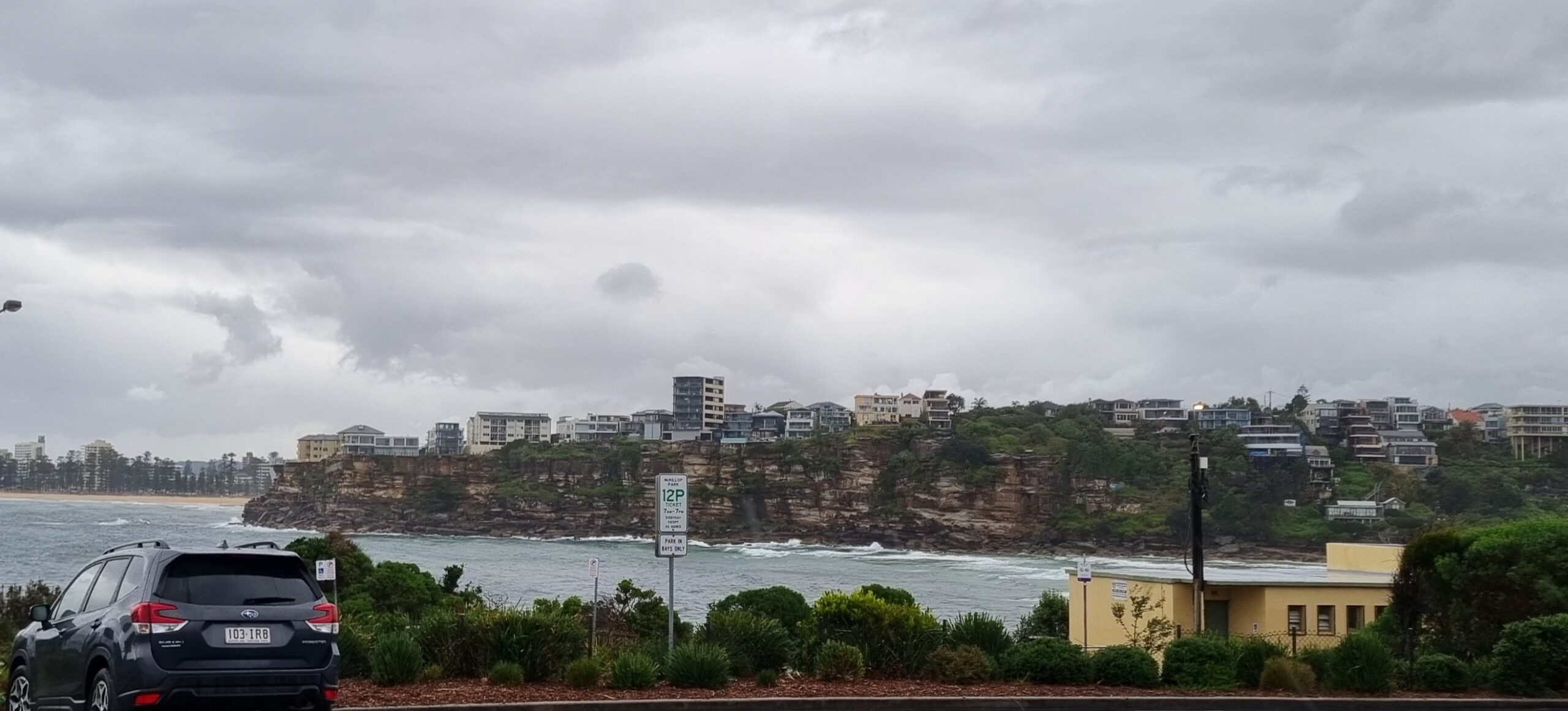
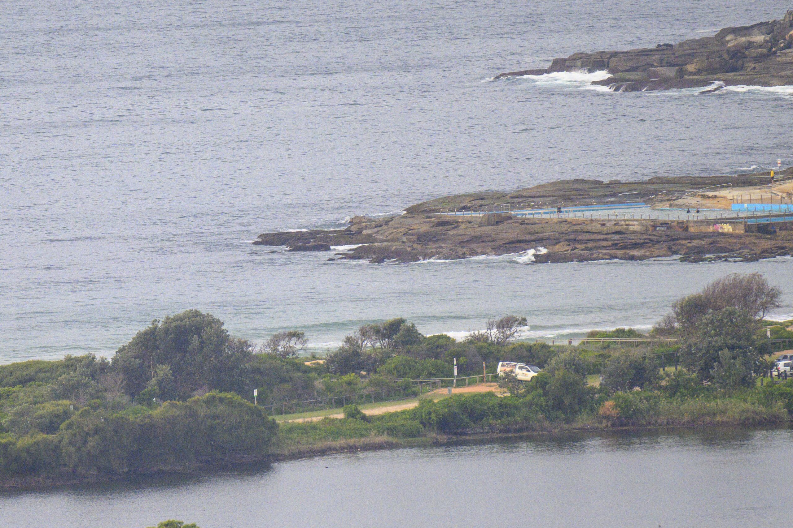
Great day for Sydney’s surfers to catch up with family and friends. The howling offshores have put paid to any prospect of a decent wave this morning. And judging from the look of the buoy data off to the south of us, the expected energy from that low in the SW Tasman sea isn’t too likely to get here today.
But by this time tomorrow, we should be seeing solid south swell lighting up the usual spots.
The wind will blow hard today and overnight before starting to slacken on Monday. As that happens, the swell will push in and it should be a day of surf options.
The low is moving pretty quickly, so the swell looks likely to peak in Sydney tomorrow and then to weaken over the following couple days.
Get out there and enjoy!
Tides: L@0803, H@1451
Warning Summary at issue time:
Storm Force Warning south of Green Cape, Gale Warning remainder south of Port Macquarie, including Sydney Closed Waters. Strong Wind Warning north of Port Macquarie.Synoptic Situation
The generally strong to gale force westerly airstream will continue to affect New South Wales coastal waters on Sunday in association with a deep low pressure system over the southwestern Tasman Sea. Storm force strengths are expected across the far south closer to the low’s centre. This airstream, for most parts, will gradually ease during Monday, and into Tuesday, as a ridge of high pressure moves over eastern New South Wales.
Sydney Coastal Waters, Broken Bay to Port Hacking and 60nm seawards:
Gale Warning.
Sunday until midnight: Wind: W 25/35 knots, reaching 35/40 knots at times.Sea: 3 to 4 metres. Swell: S/SE 1.5 to 2 metres.
Monday: Wind: W/SW 25/35 knots gradually easing. Increasing swell.Sea: 2 to 3 metres. Swell: S 3 to 4 metres.
Tuesday: Wind: SW 20/30 knots, easing to E/SE 5/15 knots.


