Hello Friends,
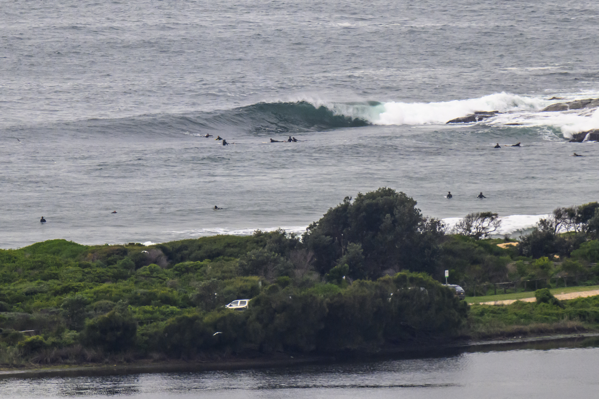
35. That’s the call for the coast today in Sydney. Sadly we really don’t seem to have much in the way of waves. Dominant swell direction is southerly and the period spread’s not too bad (9-12s), but the height at sea is less than a metre.
As I write this, there’s no sign of the predicted southerly front (see below for BoM forecast) in the wind reports from the far south of the state. The Eden buoy has bumped up by roughly a metre, but that’s coincided with a drop from a gutless 7 seconds to a really gutless 5 sec. No macking south swell in those numbers, that’s for sure.
The WAMs are showing a little pulse developing tomorrow afternoon for the Sydney region. With luck it’ll get into the solidly surfable range. Right now I’m hoping for something into the head high range on the bigger sets after lunch on Wednesday. The problem is that the wind forecast is not looking good. Basically we’re facing steady winds from the SE around to the NE. So, pretty likely to be junky onshore conditions.
Outlook thereafter is for small short period east windswell conditions through the weekend. Figure knee to waist high with bomb sets to shoulder high – if we’re lucky.
Good luck to all my fellow once a year punters on the Cup. I wonder how the RealSurf poll will go this time around…
Synoptic Situation
A vigorous cold front will move up the southern half of the coast during Tuesday with northwest to northerly winds strengthening before a strong to gale force southwest to southerly change. The change is expected at Green Cape late morning, Moruya by late afternoon, then move up the Sydney and Illawarra coasts during the late afternoon or early part of the evening, reaching Newcastle by midnight. The change will weaken as it moves north along the Mid North Coast early Wednesday, reaching Ballina by about midday Wednesday and stalling. A high pressure system will strengthen in the Bight during Thursday and move across into the southern Tasman Sea on Friday.Sydney Coastal Waters, Broken Bay to Port Hacking and 60nm seawards:
Gale Warning
Tuesday until midnight: Wind: N/NW 8/13 knots at first, increasing to 15/20 knots during the morning, then to 20/25 knots during the afternoon. A S/SW change knots late afternoon/evening, possibly 30/35 knots initially, then easing to 25/30 knots. Sea: 1 to 2 metres, rising to 2.5 to 3.5 metres during the afternoon/evening. Swell: Confused 0.5 to 1 metre. Isolated late thunderstorms.
Wednesday: Wind: S/SE 20/30 knots, easing to SE 10/15 knots by the afternoon, tending E/NE later.Sea: 2 to 3 metres, abating to about 1 metre by the afternoon.Swell: S 2 to 2.5 metres.
Thursday: Wind: S/SE 15/25 knots.


