Hello Friends,
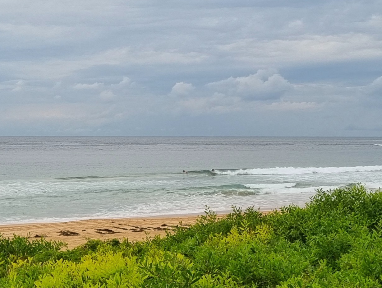
As expected, the windswell has perked up slightly this morning. It’s nothing fabulous at Dee Why but there are a few folks chasing lumps along the beach north from the SLSC. According to the latest data from the MHL buoy, the swell’s out’ve the SE at two metres but since the period’s only 7 seconds, they’re struggling to get into the waist to chest high range.
It’s a touch bigger and the period’s a second longer down toward Batemans Bay, so with luck the energy levels haven’t topped out just yet. The current light SE wind is set to stay at about the same velocity or to even decrease a bit as the day goes along.
According to the latest run of the models, it would appear that we’re in for another week of these weak, small and junky conditions. The wind’s set to be basically out of the easterly quarters across the period and it doesn’t seem likely that we’ll see much in the way of decent power levels. Right now it seems we’re in for weak, short period, mainly easterly little things.
Have yourself a top old day!
Whadya reckon the waves’ll be like today and tomorrow?
[starratingmulti id=1 tpl=12]
From the Bureau
Tides: H @0843 and L @1520
Sydney Coastal Waters, Broken Bay to Port Hacking and 60nm seawards:
Wednesday until midnight: Wind: S/SE 15/20 knots easing to 10/15 knots in the afternoon.Sea: 1 to 2 metres abating about 1 metre in the afternoon.Swell: S 1 to 2 metres.
Thursday: Wind: E/SE 15/20 knots. Sea: 1 to 2 metres. Swell: S 1 to 1.5 metres.
Friday: Wind: E/NE 10/20 knots.


