Hello Friends,
Grey and misty old morning. So misty in fact that I can’t quite make out the beach yet. From the look of the models though, we’re sitting about where we were yesterday afternoon when it comes to the wave settings – ie 1.5m of short (7s) period east windswell. That should translate to waist high with the odd bigger one for the people at the Manly Fesitval of Surfing (and other beaches with good exposure to the swell direction).
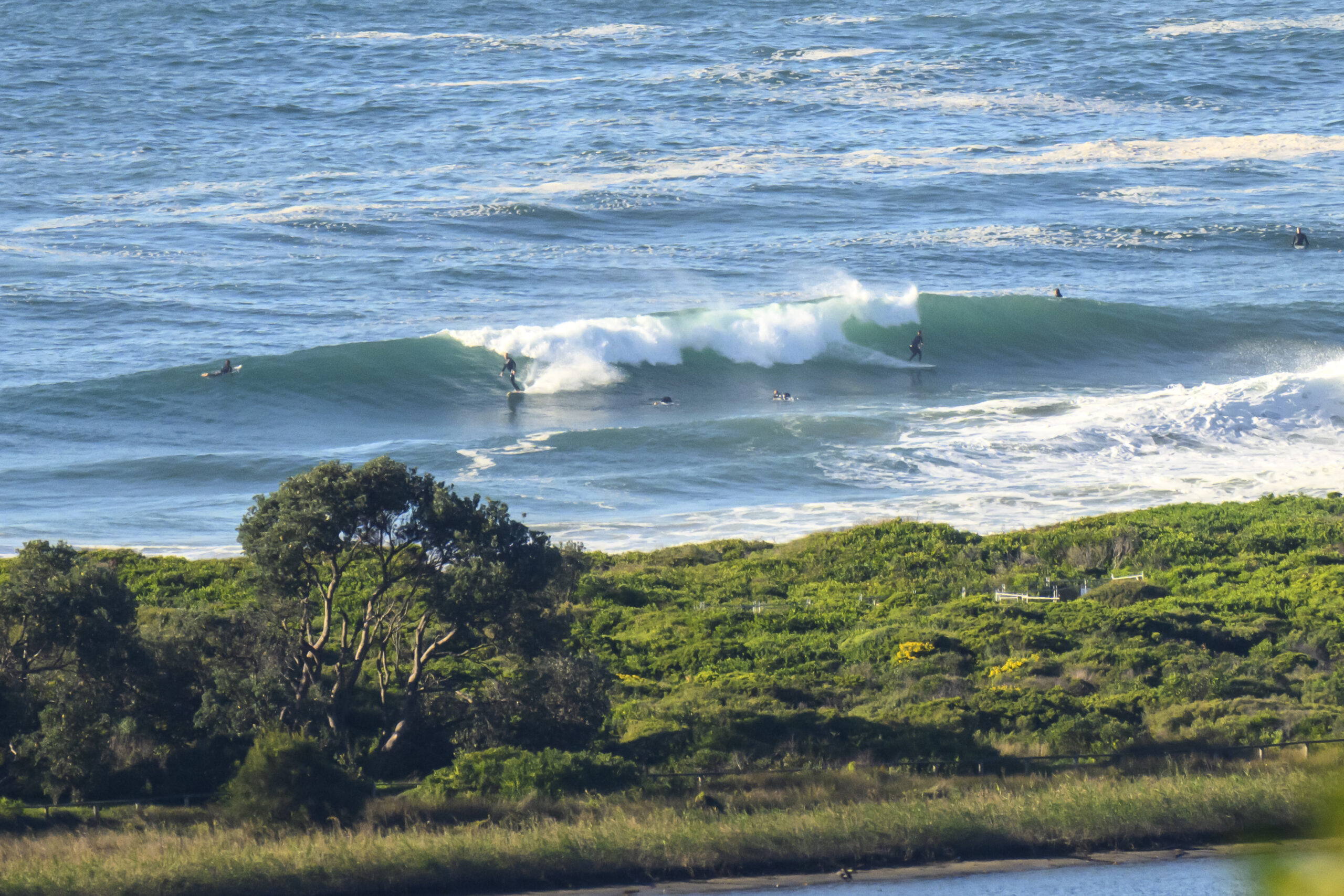
Here’s how it looked at Gardens from atop Flight Deck at 0700…

So, the obvious question is: how’s it looking for the next few days in Sydney?
Not too fabulous is the answer. We’re looking like being stuck with a big old high that wraps around the coast from the bight to Queensland. It’s going to bump any serious energy away from our swell window for the next week – at least. The swell model interpretations are calling for the current smallness to gradually get smaller into the coming week. If you’re in Sydney it pretty much looks as though you can knock surfing out of the schedule from about Tuesday into the weekend. Spring is not my fave time of year.
TIDES: L @0533, H @1207, L @1907
Sydney Coastal Waters, Broken Bay to Port Hacking and 60nm seawards:
Sunday until midnight: Wind: E/NE 10/15 knots reaching 15/20 knots in the afternoon and evening.Sea: 1 to 1.5 metres. Swell: E about 2 metres.
Monday: Wind: NE 10/15 knots freshening to 15/20 knots in the afternoon. NE 10/15 knots. Sea: 1 to 1.5 metres.Swell: E about 1.5 metres.
Tuesday: Wind: NE 10/20 knots.

