Hello Friends,
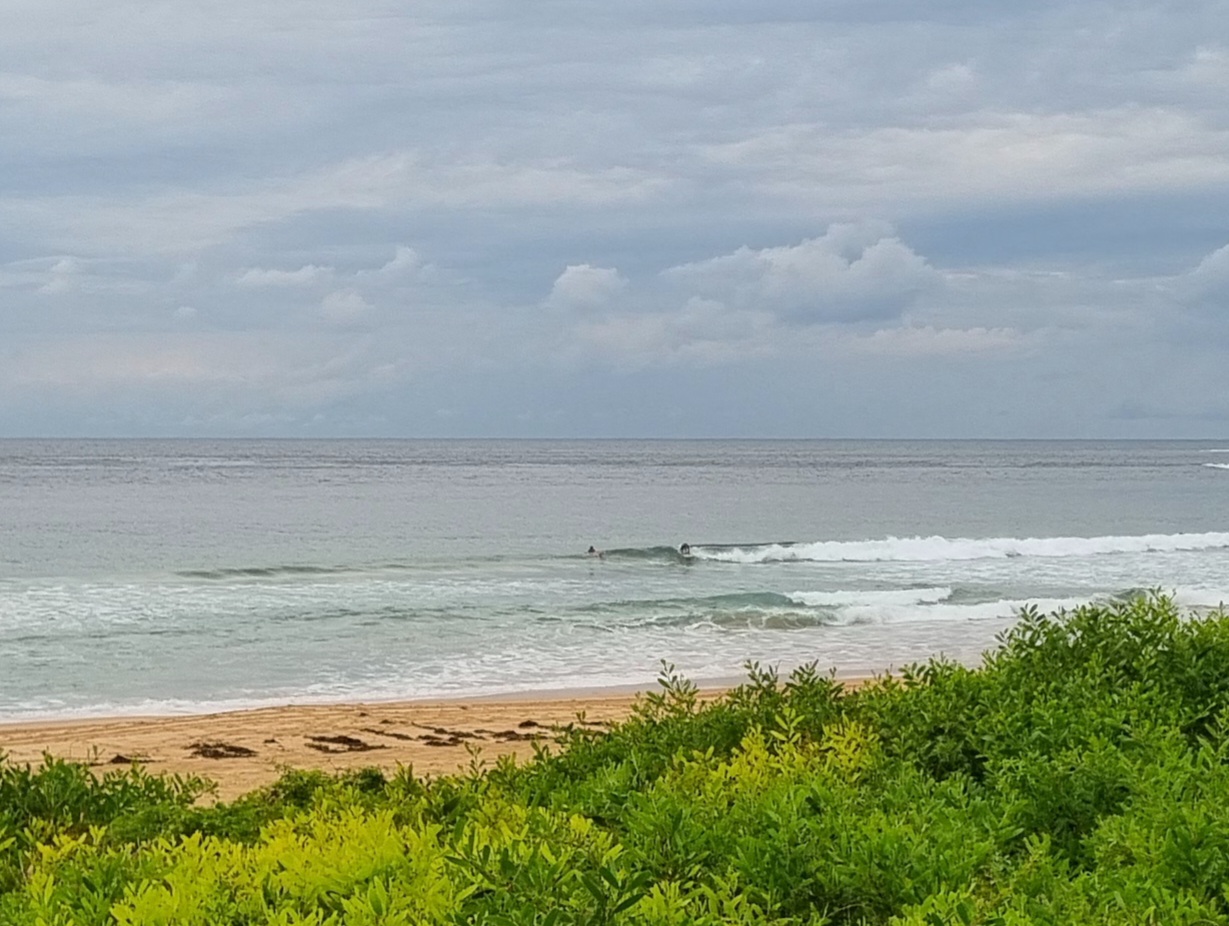
A chance of early showers this morning, but it’s due to fine up later. The latest buoy data is showing a 6 second period south windswell pushing weakly in to our shores. It’s almost two metres out at sea, but it’d be doing exceptionally well to be half that size at the exposed stretches. Of course those exposed spots will also be copping the 10-15 kts of south wind as well, so a very high level of keenness is required this morning.
The models are bouncing around a bit, but for the fourth day running, they’re showing a roughly 72-96 hour run of south swell with 10+ sec periods. Heights at sea may not push much above 2 metres, but with that energy setting, we should be looking at juicy and overhead sets at places that like the predicted S-SSE swell direction. Good to have some real waves in prospect after such a run of miserable smallness.
[starratingmulti id=1 tpl=12]
Sydney Coastal Waters, Broken Bay to Port Hacking and 60nm seawards:
Friday until midnight: Wind: S 20/25 knots easing to S/SE 15/20 knots in the afternoon and to 10/15 knots in the evening. Sea: about 2 metres abating to 1 to 1.5 metres later.Swell: SE about 1 metre.
Saturday: Wind: Variable to 10 knots tending NE 10/20 knots. Sea: rising to 1 to 2 metres. Swell: SE 1 to 2 metres.
Sunday: Wind: NW/NE 5/15 knots tending S/SE 10/20 knots early.

