Hello Friends,
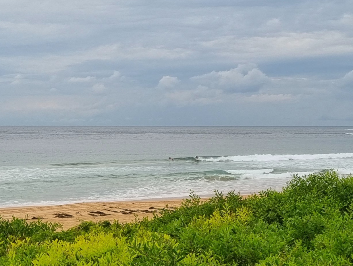
As I write this the weather radar shows another band of showers approaching Sydney. Not the greatest day to be looking for a wave. And, from the look of the buoy data, not a day when you’d find much of anything anyway. The wind swell is coming mainly from the SE at about a metre at 6 seconds apart. Those numbers say that it’s just about flat, and with the rain and general gloom, I’d guess there won’t be too many boards making it to the water today.
Outlook for the next week appears little changed from yesterday’s prognosis – ie another 7 days of more or less the same thing.
Ah well. Have yourself a great day anyway!
Synoptic Situation
A trough of low pressure is expected to remain in the vicinity of Seal Rocks until late Monday, maintaining north to northeast winds about the Mid North and Far North coasts and south to southeast winds about the Hunter, Sydney, Illawarra and South coasts. The trough will progress further north later on Monday and Tuesday, extending southerly winds to the Far North coast. A high pressure system moving into the Tasman Sea on Wednesday will result in an east to northeasterly airstream.
Sydney Coastal Waters, Broken Bay to Port Hacking and 60nm seawards:
Monday until midnight: Wind: SW/SE 10/15 knots freshening S/SE 15/20 knots in the afternoon. Sea: 1 to 2 metres. Swell: E/NE 1 to 1.5 metres.
Tuesday: Wind: S/SE 15/20 knots. Sea: 1 to 2 metres. Swell: E/NE 1 to 1.5 metres.
Wednesday: Wind: SE/NE 10/20 knots.


