Hello Friends,
The south change that came through yesterday not only broke the heatwave (it dropped 15 degrees in an hour at our place), but it also bumped up something more than the usual windswell. From the look of the MHL buoy, the energy levels peaked at midnight and are now dropping back pretty smartly.
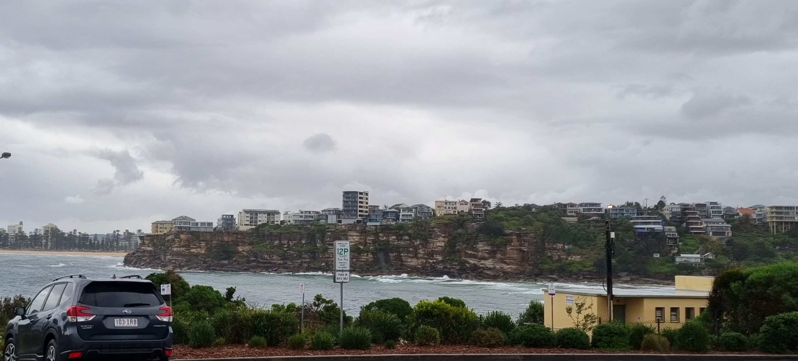
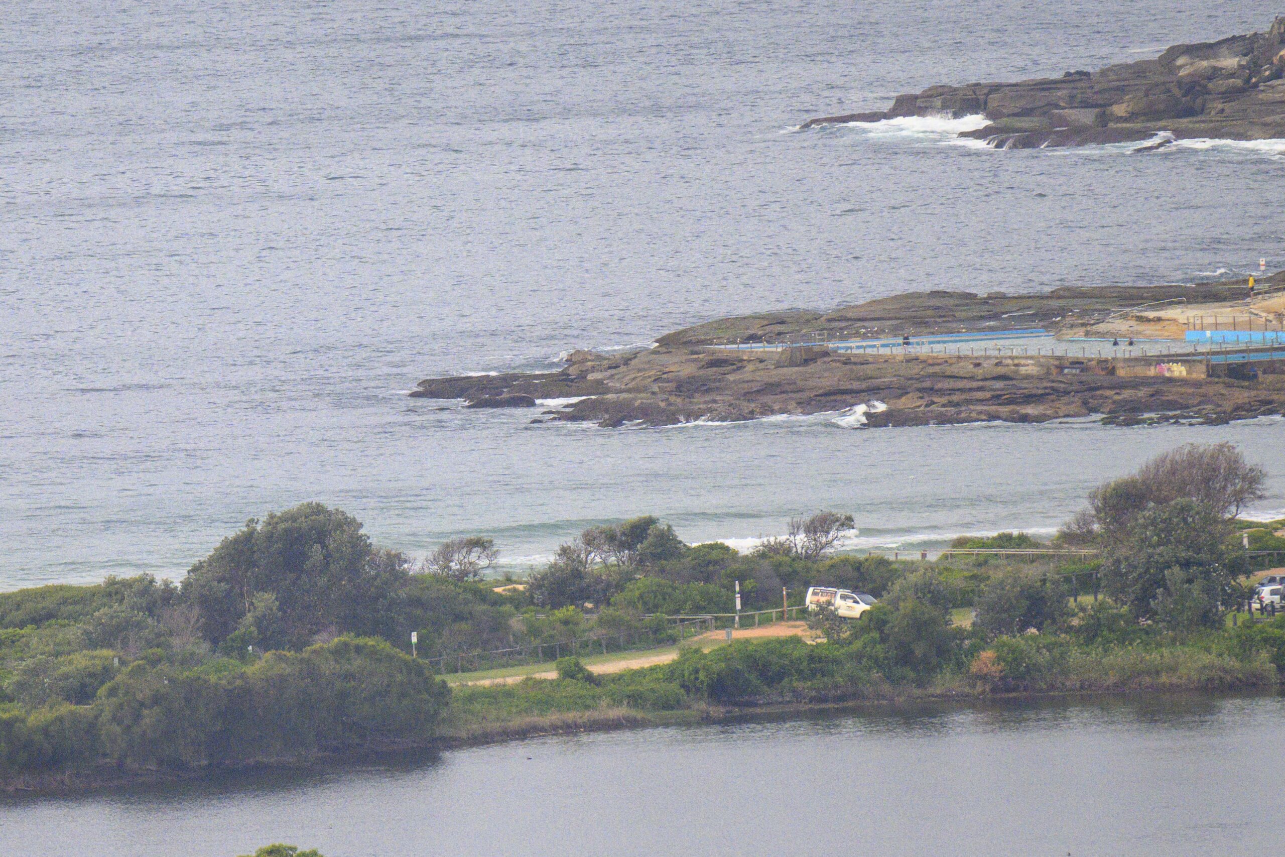
There’s a fair amount of drizzle this morning, so my usual reccy shot of Dee Why doesn’t capture a set wave. I could barely make out the point, let alone any people, through the viewfinder, but once I got the pic into photoshop, it revealed that there were a few bods in the water waiting over from the point where the chest high plus sets generally break.
The latest MHL trace for Sydney shows a couple metres of south swell at about 10 seconds apart. Wind at 1000 was lightly from the west.
Could be worth a look at that fave south swell spot given that it’s gloomy and drizzly (so the usual Sunday numbers will be down) and that this little pulse looks like going away within the next 24 hours or so…
Tides: L @0635, H @1520
Sydney Coastal Waters, Broken Bay to Port Hacking and 60nm seawards:
Sunday until midnight: Wind: S/SE 15/20 knots, easing to E/SE 10/15 knots this morning, E/NE 10/15 knots during the evening.Sea: 1.5 to 2 metres, abating to about 1 metre during the afternoon/evening.Swell: S/SE 2.5 to 3 metres, decreasing later.
Monday: Wind: E/NE 5/10 knots, increasing to 15/20 knots during the afternoon. Sea: less than 1 metre, rising to 1 to 2 metres during the afternoon. Swell: SE 1 to 1.5 metres. Isolated thunderstorms.
Tuesday: Wind: NE/SE 5/15 knots.


