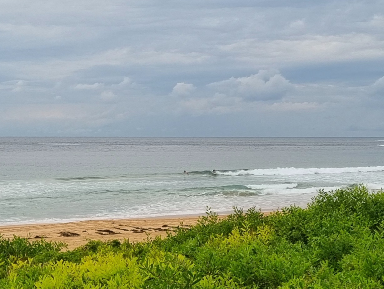
How it looked at the north end of the Collaroy-Narrabeen stretch around 1245.

Earlier today over the jump…

Hello Friends,
As expected, the ENE breeze is into it by mid-morning and the consequences are obvious. There’s more activity at Dee Why than this time yesterday, but you’ll want to be keen. The junk factor is a major feature.
I’d expect the average wave face height to improve a bit by this afternoon at the semi-protected corners. With luck it’ll persist overnight and still be throwing the odd chest high set at the early risers. I’m thinking 40% chance of this. Tuesday the models seem to be showing small, but longer period energy, so we just might get some little fun ones at places that like east.
Beyond that, it currently looks like small and junky but not flat. Holding pattern material.
Have yourself a fantastic Sunday!
TIDES: L @0850 H @1440
Sydney Coastal Waters, Broken Bay to Port Hacking and 60nm seawards:
Sunday until midnight: Wind: N/NE 15/20 knots increasing to 20/25 knots in the afternoon. Sea: rising 2 to 2.5 metres. Swell: E 1.5 metres.
Monday: Wind: NE/NW 20/25 knots.Sea: 2 to 2.5 metres. Swell: E/NE 1.5 to 2 metres.
Tuesday: Wind: NW/SW 5/15 knots.

