Hello Friends,
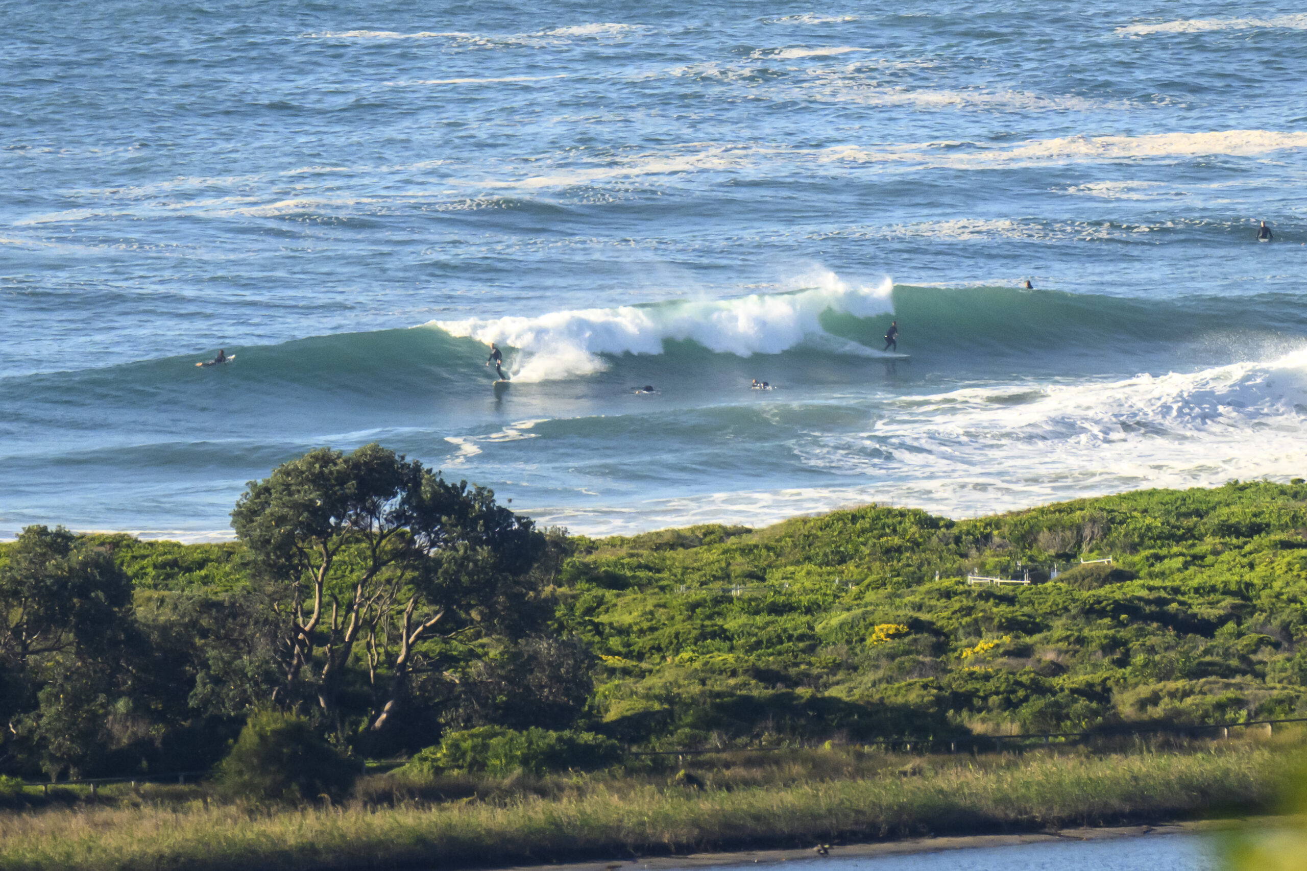
Steady drizzle this morning but the swell has stayed around the 2 metre range since midday yesterday, but the direction has moved to a more favourable SE setting and the period has increased to about the 8 second mark. It’s a combination that delivers chest high and the odd bigger one to Dee Why, so naturally enough there were a reasonable number of takers on a Sunday morning.
The Bureau says the weather should lighten up later. At the same time the current light offshore conditions may get more around to onshore across the middle of the day, but the Bureau says it’s not going to go too hard.
Latest outlook is for the swell prospects to bump along at around the current levels through the coming week. There seems to be a prospect for a small pulse around Wednesday and, if we can believe the long range estimates, there could be some solid swell out of the SE around about Thr late to Friday early.
Go well with your Sunday!


TIDES: L @1015, H @1640
Sydney Coastal Waters, Broken Bay to Port Hacking and 60nm seawards:
Sunday until midnight: Wind: South to southwesterly 10 to 15 knots tending south to southeasterly late morning/early afternoon then decreasing to east to southeasterly 5 to 10 knots during the late afternoon/early evening.Sea: 1 to 2 metres. Swell: South to southeasterly 1 to 1.5 metres, abating to below 1 metre.
Monday: Wind: Light and variable winds tending northeasterly up to 10 knots during the afternoon.Sea: below about 1 metre.Swell: South to southeasterly 1 to 1.5 metres.
Tuesday: Wind: Northeast to northwesterly 10 to 15 knots.
Forecast for Sunday
Coastal showers during the morning otherwise fine. Partly cloudy.
Light southwest to southeasterly winds.Precis: Mostly fine.
City: Max: 21 Parramatta: Max: 21
Terrey Hills: Max: 19 Penrith: Max: 21
Liverpool Max: 21 Richmond: Max: 20

