Hello Friends,
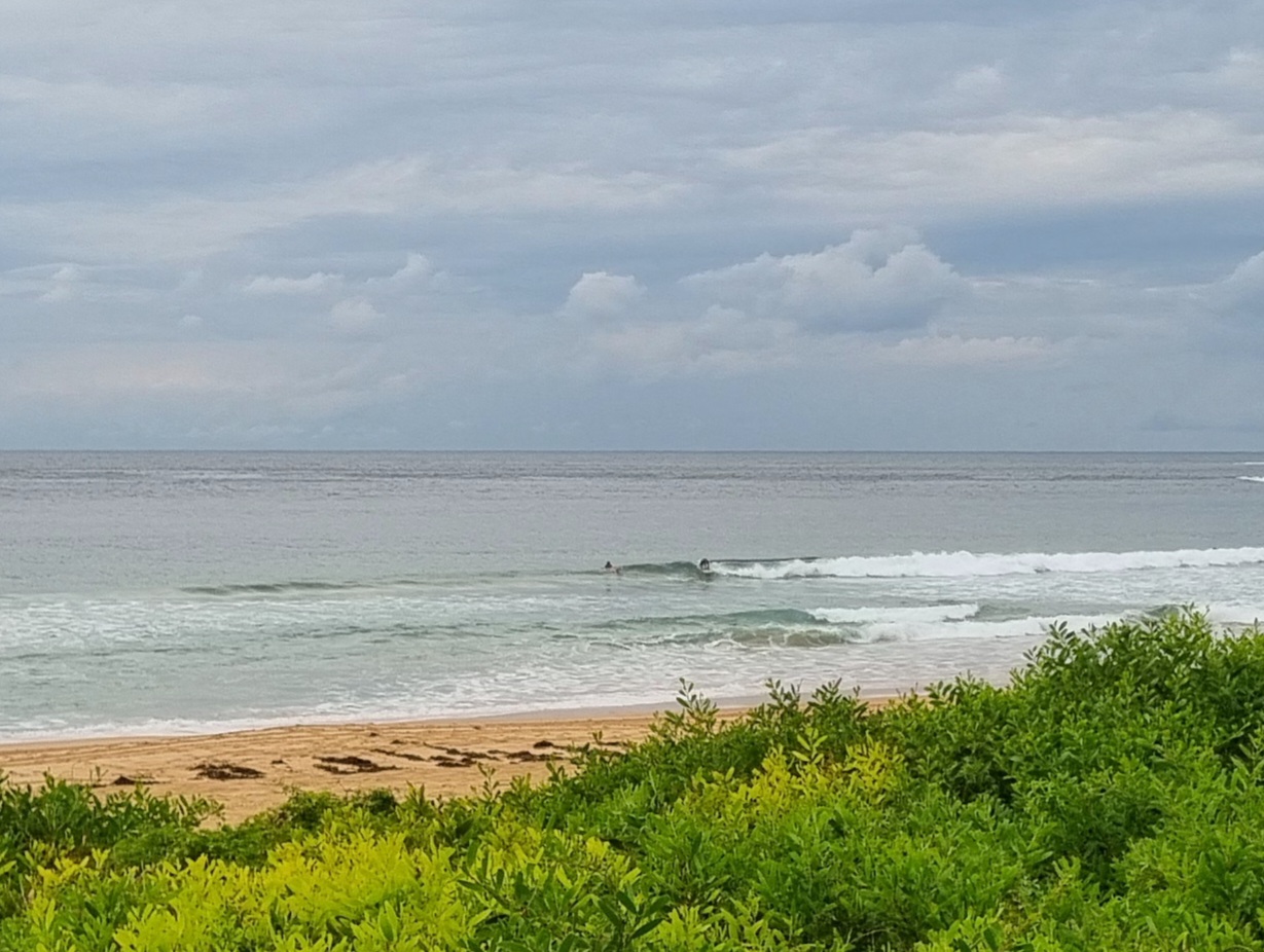
 As expected, the swell continues to fade toward its late week destination of flatness. Still a few waist high sets rolling in thanks to the SE direction and reasonable mix of 9-11 second swell. It’s only a metre at sea, so I reckon you’d be doing well to pick up much of anything above chest high.
After weeks of swell, it looks to me as though we’ve got ourselves a little flat(ish) spell coming up. Some of the models say we could get a little pulse around Sunday morning in Sydney, but from tomorrow to the middle of next week, the prospects are not too flash. Oh well, Huey’ll be back. We’re in his favourite season after all.
Go well with your plans and have a top old day!
TIDES: H @1120, L @1700
Sydney Coastal Waters, Broken Bay to Port Hacking and 60nm seawards:
Gale Warning.
Wednesday until midnight: Wind: North to northwesterly 5 to 10 knots tending north to northeasterly 10 to 15 knots in the afternoon and reaching 15 to 20 knots offshore.Sea: Below 1 metre increasing to 1 to 1.5 metres by early evening.Swell: Southerly about 1 metre.
Thursday: Wind: North to northwesterly 15 to 25 knots becoming northwesterly 20 to 30 knots during the morning and reaching 30 to 35 knots offshore at times. Winds west to northwesterly easing to 15 to 25 knots later in the evening.Sea: 1.5 to 2 metres increasing to 2.5 to 3.5 metres during the morning.Swell: Southerly 0.5 metres. Swell: Northeasterly 0.5 metres.
Friday: Wind: West to southwesterly 15 to 20 knots tending south to southwesterly 10 to 15 knots during the afternoon.

