Hello Friends,
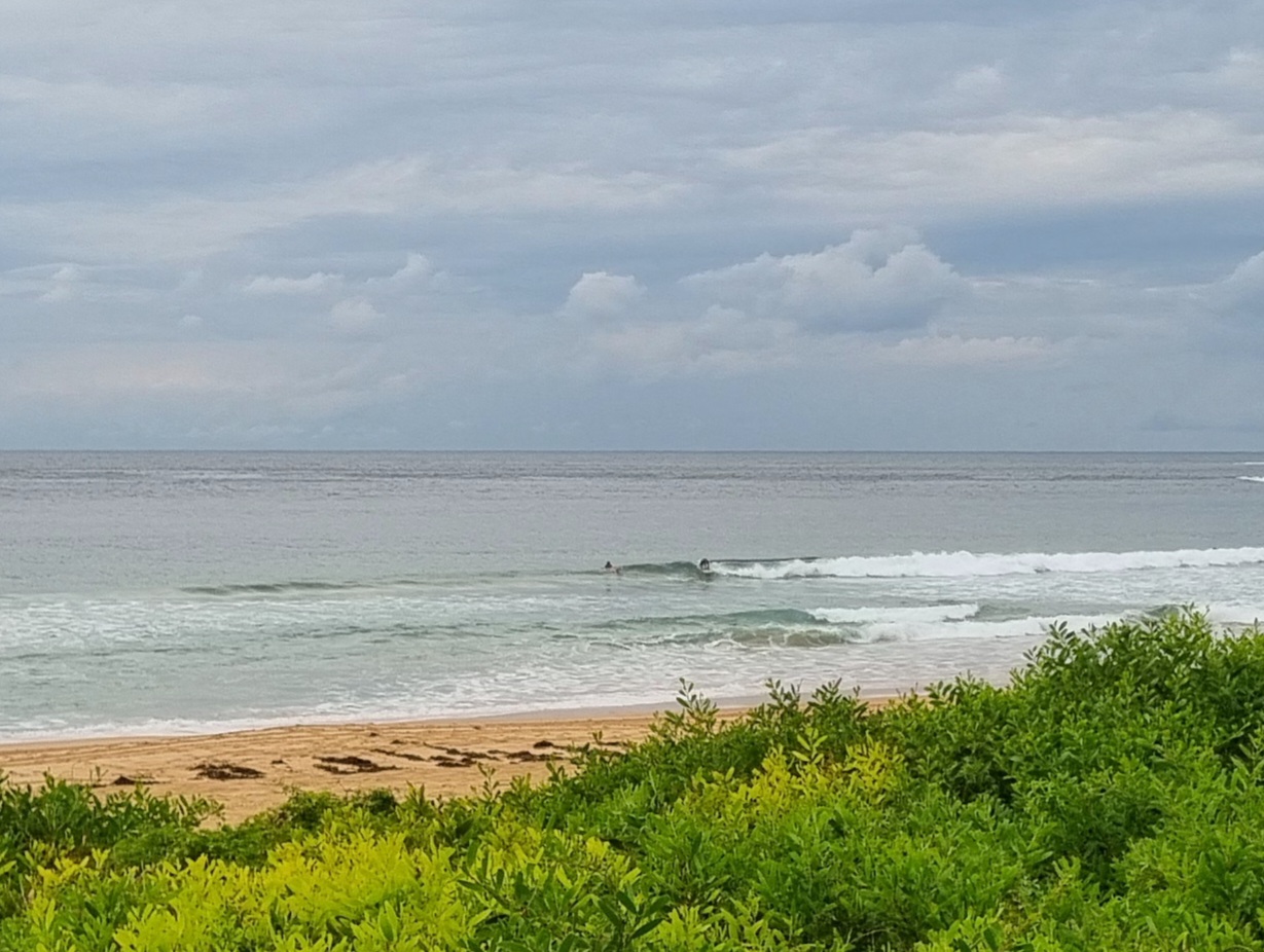
 There is some energy about this morning, but gee it’s not too lovely looking. The wind’s out of the ENE at 10-15kts, so it’s solidly onshore at Dee Why. The swell is a couple metres out at sea and coming from the SE, but Huey’s got the power setting at an anemic 7 seconds or so. Throw in cloudy skies with the odd shower or two and you couldn’t say it has the makings of a classic winter’s day (from a surf perspective that is).
Latest news from the wonderful world of the wave forecast models is a curate’s egg of sorts. Mostly not a great egg it has to be said, but the best bit currently looks like possibly being around Friday when there might be SE pulse into the waist to chest high range at the better spots.
The prospect of something more substantial for early next week has disappeared from the latest run of the models. So, if they’re right, we’re in for more of these marginal conditions.
Oh well, I know what you could do, you could keep on smilin’!
Sydney Coastal Waters, Broken Bay to Port Hacking and 60nm seawards:
Wednesday until midnight: Wind: East to southeasterly 15 to 20 knots decreasing to 10 to 15 knots by early evening.Sea: 1.5 to 2 metres, decreasing to 1 to 1.5 metres later.Swell: Southeasterly 1.5 metres.
Thursday: Wind: East to northeasterly 10 to 15 knots decreasing below 10 knots during the morning then tending north to northeasterly by evening.Sea: Up to 1.5 metres decreasing to below 1 metre later in the evening.Swell: Southeasterly about 1.5 metres.
Friday: Wind: Northerly 10 to 15 knots increasing to 15 to 20 knots during the evening.

