Hello Friends,
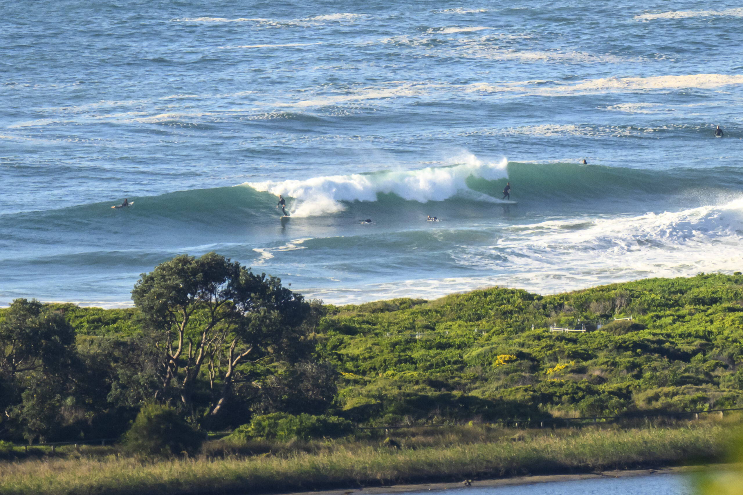
 Very quiet looking in the old Sydney today. Hardly any swell energy about and what there is seems to be coming from the east according to the latest MHL data. It’s about 0.5 metre and the period is a weak 8 seconds. Since I’m not in a position to grab a snap for you, I’ve picked up one from the WRL beach survey camera high atop the flight deck building in Collaroy. Good to see they’re still shoving sand out at Mactier and Wetherill streets. That’s one advantage of no swell any way.
The good news is that the swell forecast models are showing another little pulse developing overnight and into tomorrow. The Bureau reckons 2-3m from the NE, but the various interpretations of the model data don’t seem to be quite so hopeful. Nevertheless, there could be some shoulder to head high energy if you’re lucky (loud gnashing of teeth from your currently inland webmaster).
And it basically looks as though there should be a steady supply of surf right into the weekend before another lull next week…
All good! Go well one and all.
Sydney Coastal Waters, Broken Bay to Port Hacking and 60nm seawards:
Strong Wind Warning
Tuesday until midnight: Wind: Northeasterly 5 to 10 knots tending north to northeasterly 10 to 15 knots during the morning then becoming northeasterly 15 to 20 knots during the afternoon. Winds north to northeasterly 20 to 25 knots by early evening, reaching 30 knots later.Sea: Below 1 metre increasing to 1.5 to 2 metres during the afternoon then increasing to 2 to 3 metres later in the evening.Swell: Easterly about 2 metres.
Wednesday: Wind: North to northwesterly 20 to 30 knots tending west to northwesterly during the morning.Sea: 2 to 3 metres.Swell: Northeasterly 2 to 3 metres.
Thursday: Wind: West to southwesterly 25 to 35 knots tending south to southwesterly 20 to 30 knots during the evening.

