Hello Friends,
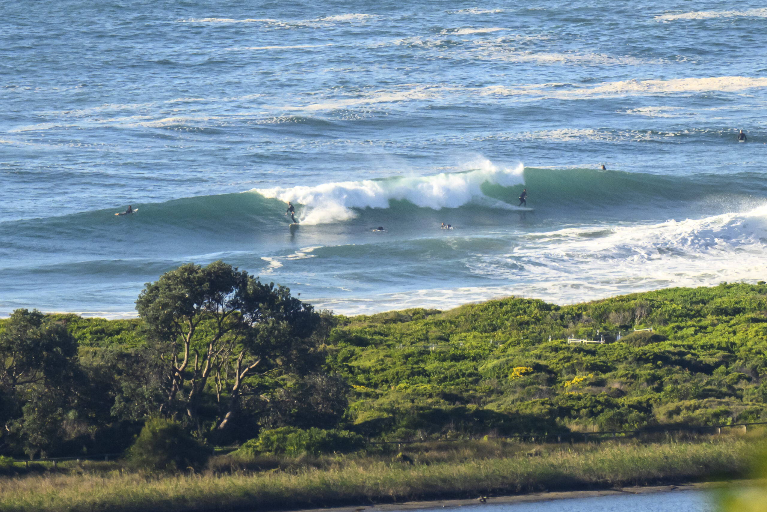
Ah the wonders of the internet. Your correspondent may be far from the sea, but a quick check of the MHL data reveals that the microscopic conditions must be back again. In the space of around 12 hours, the average period dropped from around the 12 second mark to maybe six. The height of the swell at sea didn’t really change much at all, having never climbed much above a metre. So, when I looked at Rob and Matt’s reports this morning, I wasn’t too surprised. The Bureau’s hoisted a gale warning for strong SW winds today. They’re expected to last through tomorrow, but if the wave forecast models are right, there could be some south swell energy for tomorrow. Again, it looks like being a relatively short pulse ahead of another longish spell of small to flat conditions. Winter seems to be winding down a little early if you ask me. Our swell pulses are getting further apart and smaller…
Anyway, have yourself a top old day and go well with your plans!

Sydney Coastal Waters, Broken Bay to Port Hacking and 60nm seawards:
Gale Warning
Thursday until midnight: Wind: West to southwesterly 20 to 30 knots, reaching 35 knots offshore, tending south to southwesterly 20 to 30 knots during the afternoon.Sea: 2 to 3 metres, reaching 3.5 metres offshore.Swell: Easterly about 1 metre tending southerly 1.5 metres late in the evening. Chance of isolated thunderstorms in the morning.
Friday: Wind: South to southwesterly 25 to 30 knots decreasing to 20 to 25 knots around dawn then tending southerly 15 to 20 knots during the afternoon.Sea: 2 to 3 metres decreasing to 1.5 metres around midday.Swell: Southerly about 2 metres.
Saturday: Wind: South to southwesterly 10 to 15 knots tending west to southwesterly up to 10 knots during the morning then tending northwesterly during the afternoon. Winds northerly up to 15 knots during the evening.

