Hello Friends,
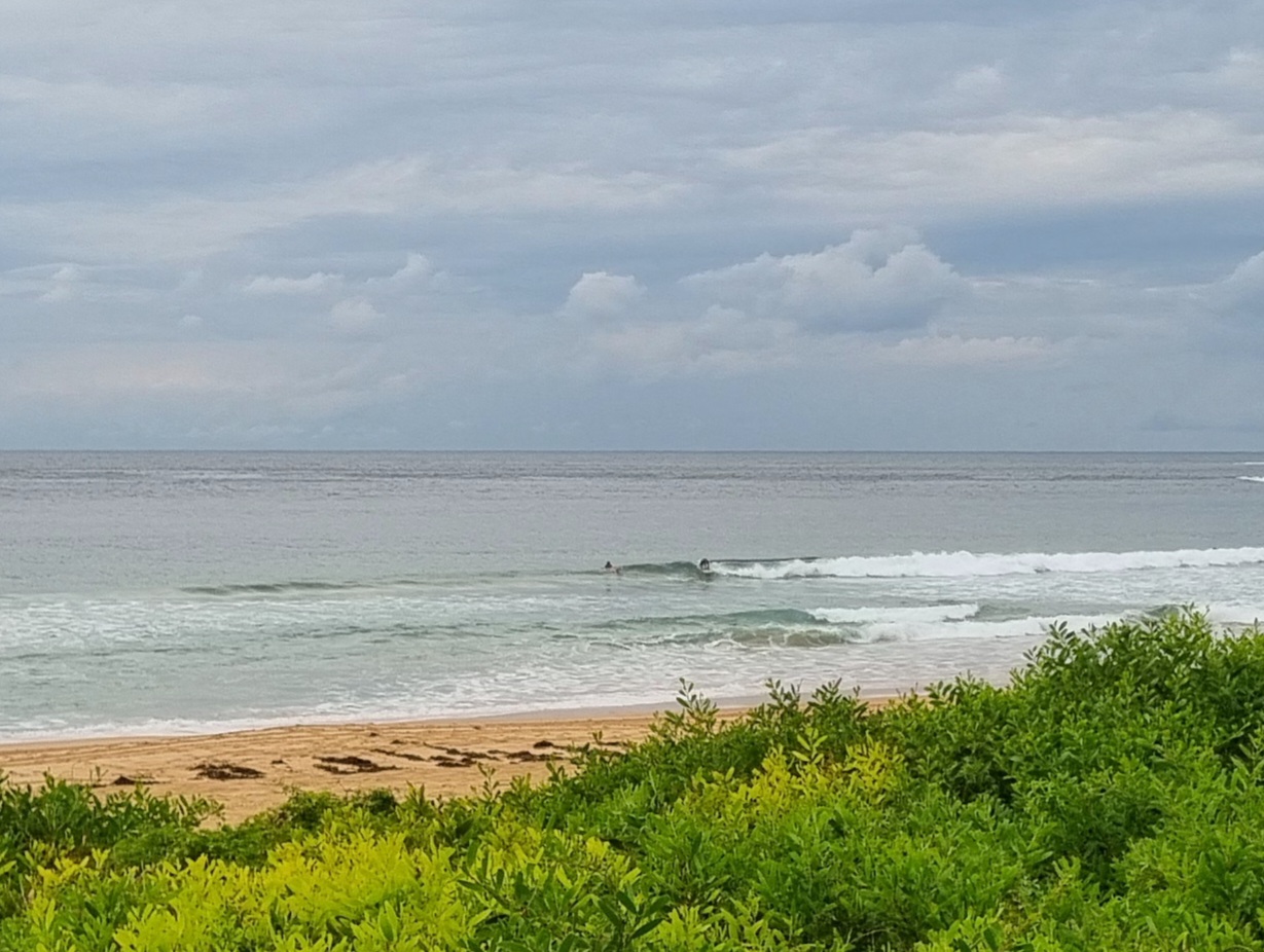
7 degrees at 0800 said the radio. Add in a steady westerly and it feels even colder. The bitter conditions haven’t put people off getting in the water at Dee Why point. Those tough customers are scoring the odd fun if not too powerful looking set waves for their trouble.
Swell at sea has jumped up to 3 metres. It still coming from the south and the average period is around the 8 second mark. According to the MHL data, the Sydney region seems to be getting the best of the available energy. With luck the models will be right and the swell will push up a touch more through tomorrow. But it looks like the wind is set to be southerly with it, so that in itself will limit the number of options.
The latest long range outlook is showing a gradual decline toward small to flat for the Sydney region as we head into next week. That pesky high over the continent is sitting down pretty low and it’s deflecting the southern ocean swell makers away from the east coast’s swell window. Worse, it looks as though the high is going to move over the lower Tasman sea in the next few days. Not a good thing for our prospects over the next 7-10 days sadly. Hope I’m wrong…
Go well with your day!

Sydney Coastal Waters, Broken Bay to Port Hacking and 60nm seawards:
Thursday until midnight: Wind: Southerly 20 to 25 knots.Sea: 2 metres.Swell: Southerly 2 metres.
Friday: Wind: Southerly 10 to 20 knots decreasing to 10 to 15 knots around dawn then increasing to 10 to 20 knots during the morning. Winds 10 to 15 knots around midday.Sea: Up to 1.5 metres.Swell: Southeasterly 2 to 3 metres.
Saturday: Wind: South to southeasterly 10 to 15 knots tending east to southeasterly up to 10 knots during the evening.

