Hello Friends,
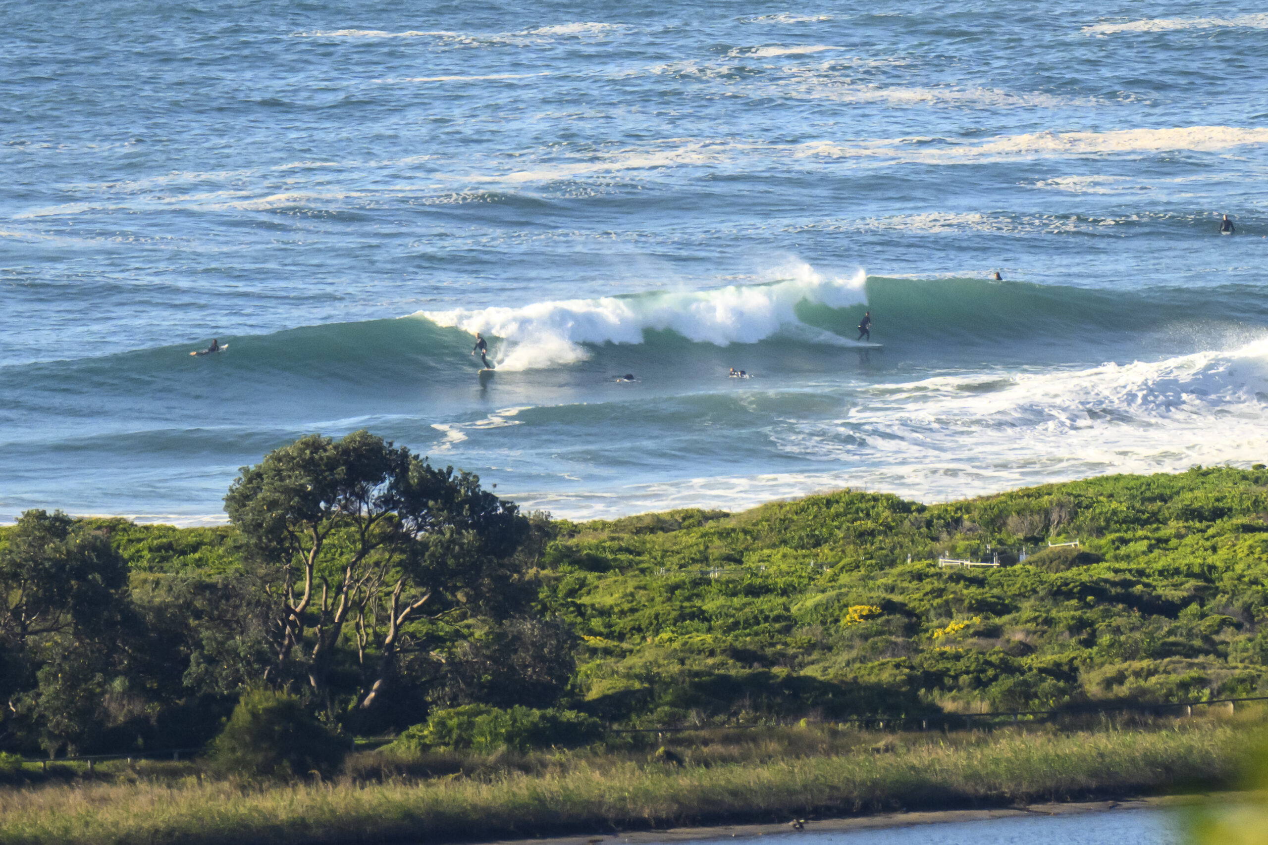
Another round of showers and so-so conditions for Sydney this morning. The ocean looks kinda junky and small which figures because the average period has dropped to around the 8 second mark. Swell is still coming from the SE and is averaging around 1.5 metres.
This morning’s run of the WAMs is looking okay for the Sydney region. If things play out as expected, we should see ENE facing stretches benefiting from a little pulse out of that direction starting late tonight and continuing for 36-48 hours. The bigger spots could be seeing head high sets on the bombs, although at this stage it looks as though the average heights will be closer to chest high.
We have a gale warning in the Sydney region today, but the call is for the rain to clear away by early tomorrow morning. From Wednesday onward, the Bureau is expecting mainly sunny weather. Throw in a generally NW to W wind regime, and it’s looking good.
Go well with your day!
TIDES: H @0810, L @1350
Sydney Coastal Waters, Broken Bay to Port Hacking and 60nm seawards:
Gale Warning.
Tuesday until midnight: Wind: North to northeasterly 15 to 25 knots increasing to 20 to 30 knots during the morning and reaching 35 knots offshore at times in the afternoon.Sea: 2 to 3 metres reaching 3.5 metres offshore.Swell: Southeasterly 1 to 1.5 metres. Chance thunderstorm.
Wednesday: Wind: Northwesterly 15 to 25 knots reaching 30 knots offshore, tending west to northwesterly 15 to 25 knots around dawn and reaching 30 knots offshore in the evening.Sea: 1.5 to 2.5 metres reaching 3 metres offshore at times.Swell: Northeasterly 2 to 3 metres.
Thursday: Wind: West to northwesterly 20 to 25 knots tending west to southwesterly 20 to 30 knots during the evening.

