Hello Friends,
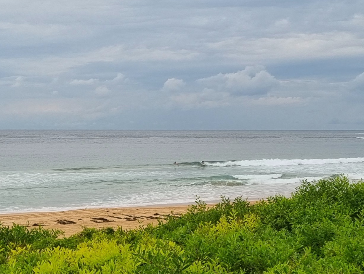
Another beautiful end of winter morning. According to this morning’s run of data from the MHL waverider buoy, the swell settings are very slightly smaller than close of play yesterday, ie averaging around the 1.5 metre mark from the SSE at about 8-9 seconds apart. As with yesterday, the best spots will be those with good south exposure. It’s therefore looking pretty marginal at the Dee Why end of the Longy-Dee Why stretch. In fact, I didn’t see anyone in the water at 0700.
Winds are light to begin with, but the Bureau says that the wind will get around to the E-SE and pick up to a junk-inducing 10 knots.
Latest run of the forecast models points to a gradual decline in average size over the next day or so. Overall it looks as though we’re likely to have flatness by the end of the week but with luck the weekend should see a small pulse of activity. Looking a lot like spring to me.
I did some shooting over the weekend and as I write this, the fruits of that labour are currently uploading to my gallery site. As usual I’ll post a couple galleries here once the pics are all online.
Go well with your day and get wet if you can.
Sydney Coastal Waters, Broken Bay to Port Hacking and 60nm seawards:
Monday until midnight: Wind: South to southeasterly 5 to 10 knots tending east to southeasterly by early evening.Sea: Below 1 metre.Swell: Southerly about 1.5 metres.
Tuesday: Wind: North to northeasterly 5 to 15 knots increasing to 15 to 20 knots during the afternoon.Sea: Below 1 metre.Swell: Southerly about 1.5 metres.
Wednesday: Wind: North to northwesterly 15 to 25 knots decreasing to 15 to 20 knots during the afternoon.

