Hello Friends,
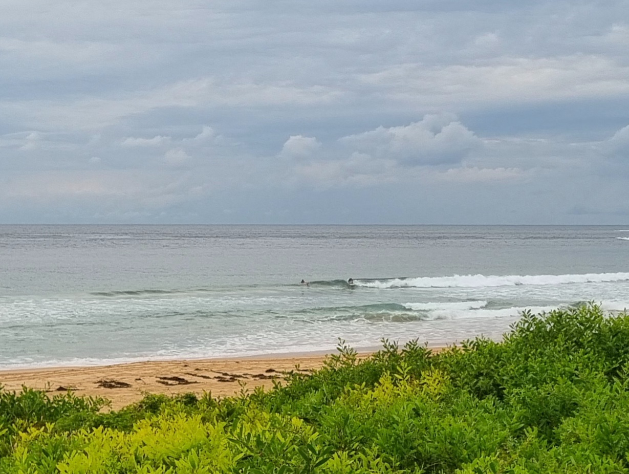
After a definite perk in size yesterday afternoon late, the energy levels have dropped back to smallish this morning. That said, I did see a couple set waves at Dee Why that were in the chest high range. You just had to be very patient. The MHL Sydney buoy is showing around 1.5 metres of 9 second period south swell. With luck the Bureau’s call for a steady increase will become apparent as the day unfolds because we’re set to have reasonable west to sw wind through to evening.
The big stuff is still very much on the radar, but I’m not too stoked about the wind outlook for tomorrow. Basically the Bureau says it’ll be all over the place, starting out s-sw, going s-se (blergh), then tracking around east before maybe being ne at dusk. Meanwhile, the swell is set to ramp up into the 4 metre range from the south. Let’s hope the wind call is unduly pessimistic.
Swell is set to drop back on Saturday into the two metre-ish range but to stick at that level right through to Tuesday morning.
Can’t complain about that, now can we?
Go well with your day and keep on smilin’
Weather Situation from the Australian Bureau of Meterology
A low in far southern Tasman is moving east while a strong high lies over the western Bight. A strong pressure gradient between these two systems is resulting in fresh to strong southwesterly winds along the NSW coast, tending to gale force in the far south. As the low moves further east towards New Zealand on Friday, conditions will generally ease, although strong southwesterly winds will persist for longer in the far south.
A heavy southerly swell in a wake of the Tasman low is likely to develop along NSW coast by Friday, then decrease on Saturday.
Forecast for Thursday until midnight
Winds: West to southwesterly 20 to 25 knots tending westerly 20 to 30 knots by early evening. Seas: 1.5 to 2 metres increasing to 2 to 3 metres by early evening. Swell: Southerly 1.5 to 3 metres. Large swells breaking dangerously close inshore in the evening.Forecast for Friday
Winds: West to southwesterly 20 to 30 knots tending south to southwesterly 10 to 20 knots during the morning then tending south to southeasterly up to 15 knots during the afternoon. Winds tending east to northeasterly up to 10 knots by early evening then tending north to northwesterly up to 15 knots later in the evening. Seas: Up to 3 metres decreasing to 2 metres around dawn then decreasing to below 1 metre around midday. Swell: Southerly 3 metres increasing to 4 metres from the late morning. Large swells breaking dangerously close inshore.Forecast for Saturday
Winds: West to southwesterly 5 to 15 knots tending south to southwesterly up to 10 knots during the evening. Seas: Below 1 metre. Swell: Southerly 3 to 4 metres decreasing to 2 to 3 metres from midday. Large swells breaking dangerously close inshore in the early morning.


