Hello Friends,
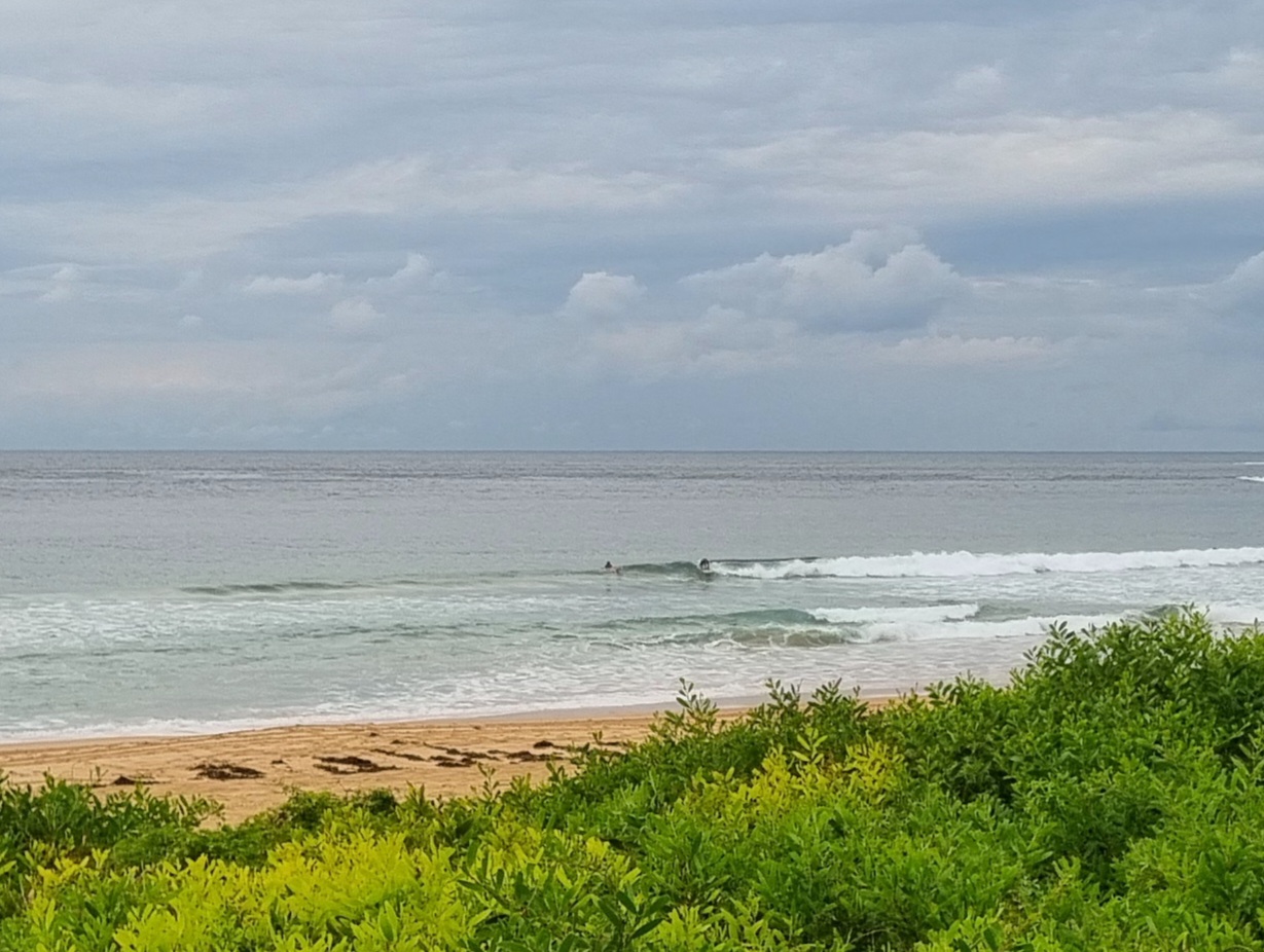
Radar showing a few showers around as Sydney sets off on Monday. Swell has gone back to the south and is a couple metres at sea, but the period’s a marginal looking 8 seconds. Throw in 20 kts of NE’r already and it has the look of a day with restricted surf options. I’d be guessing there might be some marginal to mildly amusing possibilities in the odd north corner where the south windswell meets the NE wind. Tomorrow the swell’s supposed to line up more with the wind (swell gets more east, wind stays NE), but it’s not looking too exceptional in terms of the likely quality.
Oh well, it is spring!
Go well one and all.
Weather Situation
A slow- moving high pressure system over the southwestern Tasman Sea extends a ridge to Queensland coast. A trough lies along the northern half of the NSW coast.
Forecast for Monday until midnightWinds: East to northeasterly 20 to 25 knots becoming northeasterly 20 to 30 knots by early evening. Seas: 1.5 to 2 metres increasing to 2 to 3 metres during the afternoon. Swell: Southerly 1 metre.
Forecast for Tuesday
Winds: Northeasterly 20 to 30 knots decreasing to 20 to 25 knots before dawn then tending north to northeasterly 20 to 30 knots by early evening. Seas: 2 to 3 metres. Swell: Southerly about 1.5 metres tending easterly 2 to 3 metres late in the evening.
Forecast for Wednesday
Winds: North to northeasterly 15 to 20 knots increasing to 20 to 25 knots during the evening. Seas: 1 to 2 metres. Swell: Northeasterly 2 to 3 metres.
Postcard from California

Rincon looking very, very small. Well, flat actually. You can tell there’s absolutely nothing because this is midday on a Sunday on a holiday weekend, it clear and around 30 degrees and there is one person in the water. Not looking too good for a wave you’d have to say, but maybe tomorrow it will perk up enough to be on the verge of rideable…

