Hello Friends,
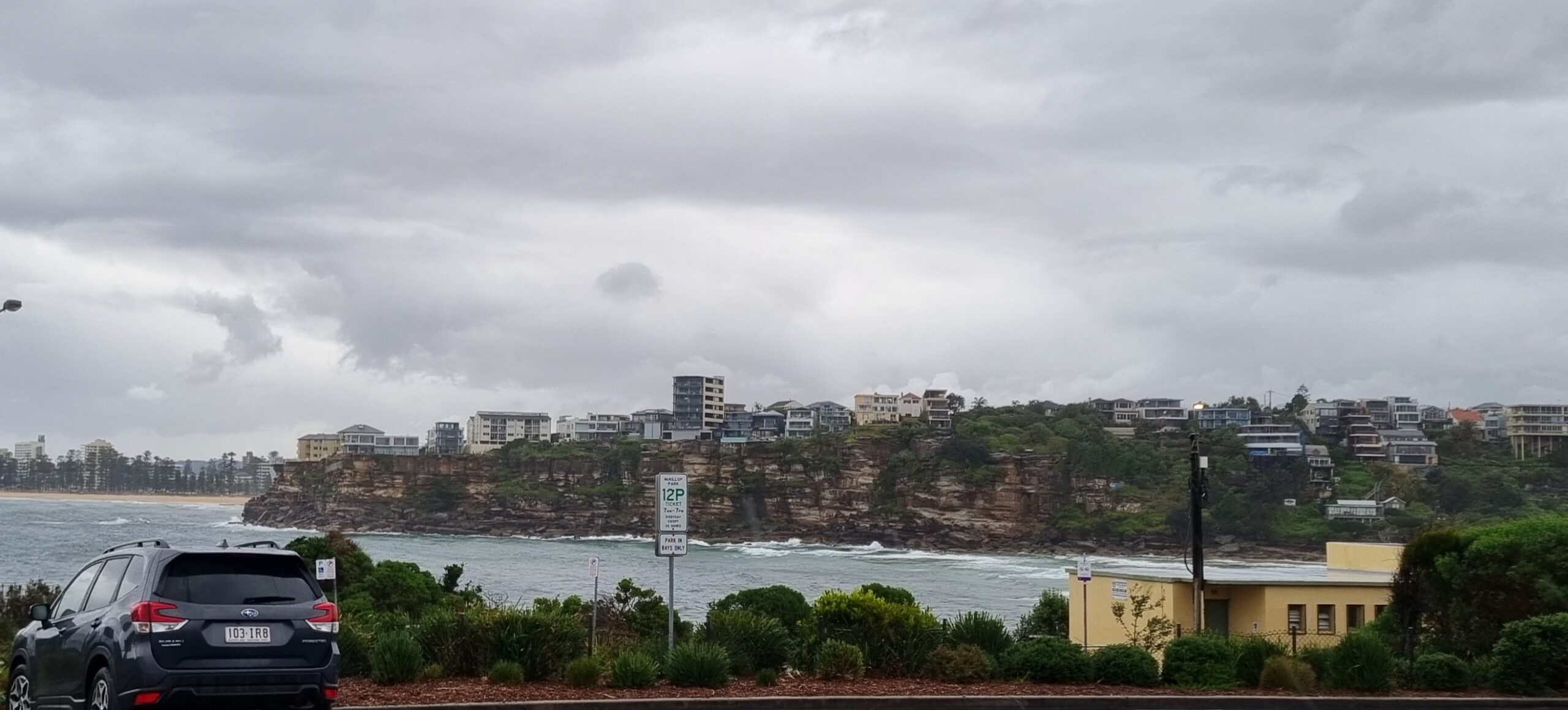
The NE’r was in the 15kt range along the coast of Sydney before daybreak and according to the Bureau, it’s set to accelerate into the 20-25kt range. There might be the odd sprinkle about, but from the look of the radar it’ll be pretty light.
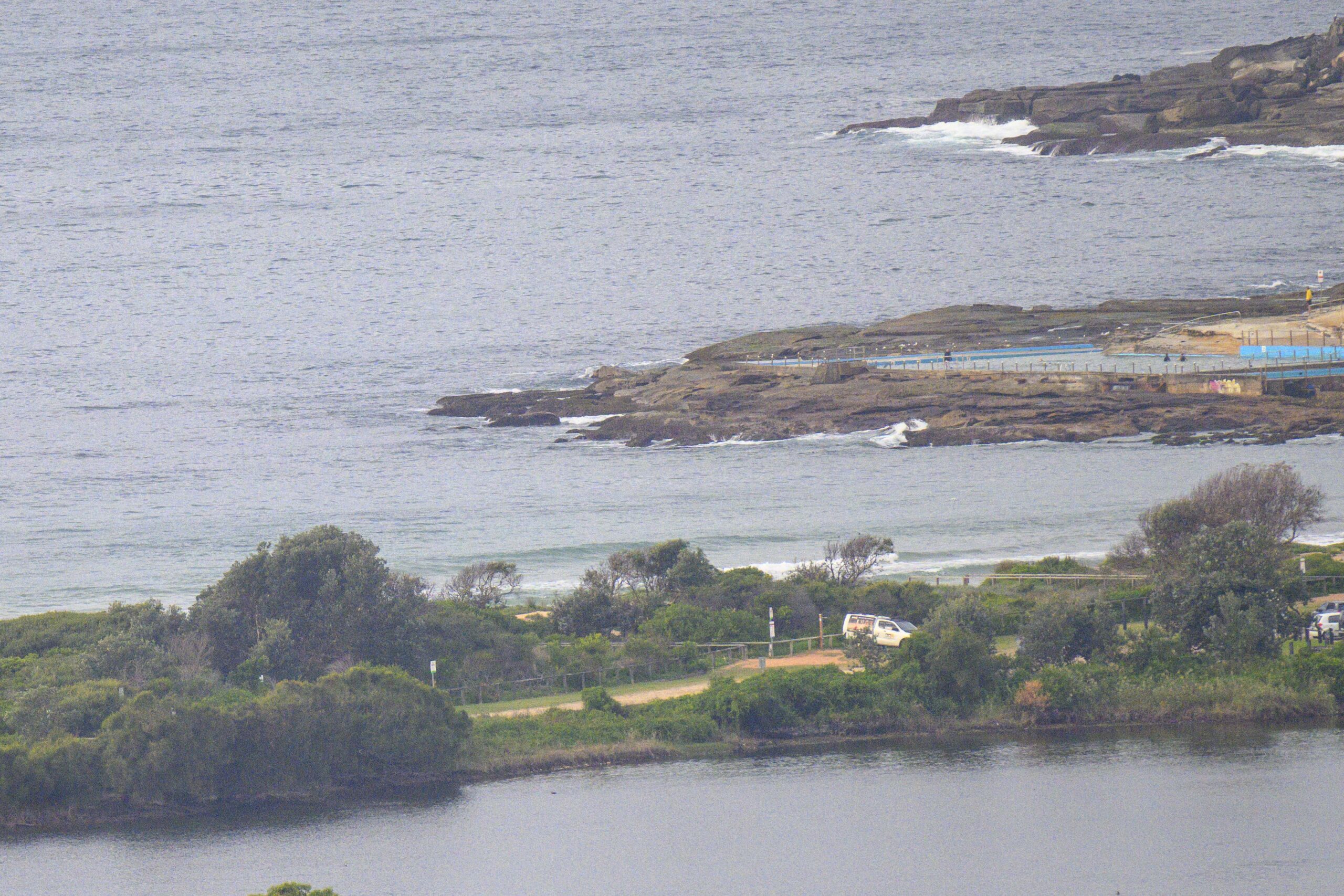
Swell is around about the same as close of play yesterday, ie, out of the east at a bit over two metres on average with a period in the 8-9 sec range. If you don’t mind junky conditions, there could be some fun to be had in a semi-protected north corner…
Tide’s coming in this morning and will hit the high a little after 1100.
Outlook is for a gradual decline in size over the next couple days. Tomorrow morning looks okay on some of the models as the wind could be a little more favourable and the swell still going along with reasonable size on sets…
Have yourself a top old day!
Weather Situation from the Australian Bureau of Meterology for the Sydney coastal region
A strong slow-moving high pressure system over the southern Tasman Sea extends a ridge across NSW. The high will remain semi-stationary over the Tasman Sea for the next three days, maintaining north to northeast airstream along the coast.
Forecast for Tuesday until midnight
Winds: North to northeasterly 20 to 25 knots. Seas: 1.5 to 2 metres. Swell: Easterly 2 to 3 metres.
Forecast for Wednesday
Winds: Northerly 15 to 25 knots tending north to northeasterly 10 to 20 knots around dawn. Seas: 1 to 2 metres. Swell: Easterly 1.5 to 3 metres.
Forecast for Thursday
Winds: Northerly 15 to 20 knots. Seas: 1 to 2 metres. Swell: Easterly 0.5 to 1.5 metres. The chance of thunderstorms.


