Hello Friends,
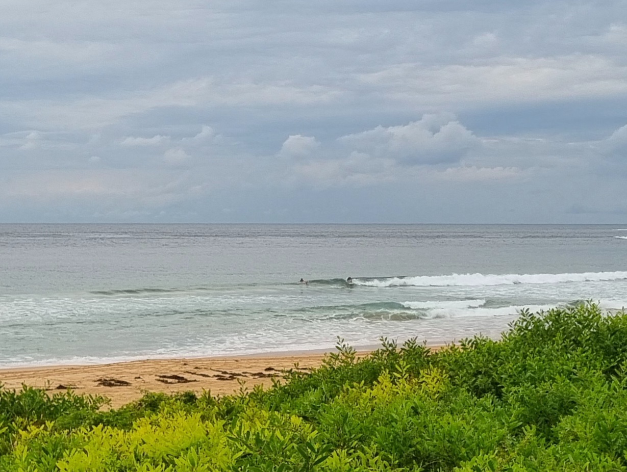
From the look of the radar this morning, we’re in for another bout of rain before it clears up. There are still some little waves to be had, but it looks as though the swell’s not going to deliver as the models were predicting a day or two ago. It’s gone around to the south since yesterday morning (it was supposedly going to be out of the east) and whilst it’s averaging around 2 metres at sea, the period continues to bump along at 8 seconds. The result where spots like Dee Why are concerned is the occasional chest high set amongst mostly smaller waves. Fortunately the early risers have SW wind, so it’s not too bad looking. The water will be pretty ordinary thanks to the torrential rain we had last night across the catchment.
Outlook for east coast waves has not improved in the latest run of models. What we have now in Sydney is set to fade away pretty quickly over the next 24 hours. With any luck it shouldn’t go quite flat until about Saturday – but it will be back into the marginal range by tomorrow morning. The weather looks set to be on again off again cloudy and the temps will be hanging around the 20 mark. I guess this is pretty much in line with typical la nina conditions.
Go well with your day!
TIDES: L @1025, H @1630

Gale warning for New South Wales waters between Broken Bay and Moruya Heads.
Details of warnings are available on the Bureau’s website www.bom.gov.au, by telephone 1300-659-218* or through some TV and radio broadcasts.
Weather SituationA low is developing within a trough off the New South Wales central coast. This is bringing strong to gale force winds to southern and central coastal waters this morning, although conditions will ease through the day as the low moves away to the southeast. Following this, a high pressure ridge will extend across from the west, and is expected to remain the dominant feature along the coast through to the end of the week, maintaining southwest to southeast winds.
Forecast for Tuesday until midnightWinds: West to southwesterly 25 to 35 knots, reaching 45 knots offshore, decreasing to southwesterly 20 to 30 knots during the afternoon then south to southwesterly 15 to 25 knots by early evening. Seas: 2 to 3 metres increasing up to 4 metres during the morning then decreasing to 1.5 metres later in the evening. Swell: Easterly about 2 metres. The chance of thunderstorms offshore this morning.
Forecast for WednesdayWinds: West to southwesterly 10 to 15 knots tending south to southeasterly 10 to 15 knots during the afternoon. Seas: Below 1 metre. Swell: Easterly 1.5 metres.
Forecast for ThursdayWinds: South to southeasterly 15 to 20 knots becoming southeasterly 15 to 25 knots during the morning then decreasing to 15 to 20 knots during the evening. Seas: 1 to 1.5 metres increasing to 2 metres during the morning. Swell: Easterly about 1.5 metres.

