
Hello Friends,
Sorry about that! It seems the cloud burped and the site went away for a few hours. Back on deck now and all should be as usual tomorrow.
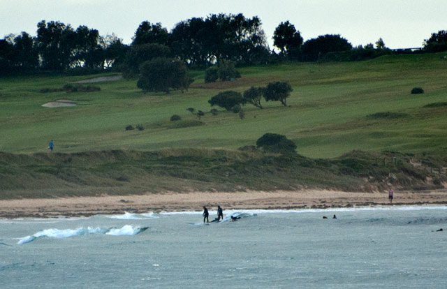
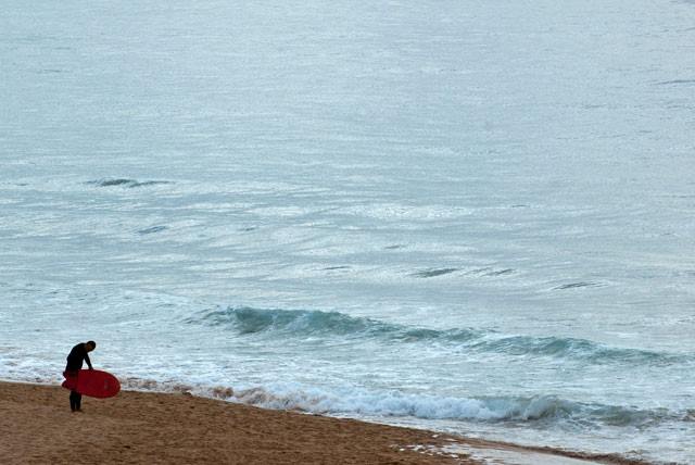
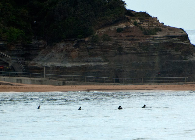
Waves were soft, weak and small this morning and the outlook for tomorrow is for even punier conditions. The swell went from the east around to the NE today, but using a word like swell to describe the dribble we had is pretty laughable. Since this morning the average period has lost another second, so at mid-evening it was only 5 seconds apart.
Blerggh
Happily, since this morning’s run of the models, the supercomputers seem to be calculating a bit of an improvement for us around Wednesday – but only at spots that can handle a heap of NE wind and like east swell. I’m not expecting much in the way of quality, but it might be sort of okay in a sideshore messy kinda way…
Anyway, have a good evening and catchya tomorrow.
Weather Situation
A high over the Tasman extends a ridge over New South Wales . This high is expected to remain semi stationary throughout the week, bringing north to northeast winds to most of the coast.
Forecast for Monday until midnight
Winds: Northeasterly 15 to 20 knots. Seas: 1.5 metres. Swell: Easterly 0.5 metres.
Forecast for Tuesday
Winds: North to northeasterly 15 to 20 knots. Seas: 1 to 1.5 metres increasing to 1.5 to 2 metres later in the evening. Swell: Easterly about 1 metre.
Forecast for Wednesday
Winds: Northeasterly 20 to 25 knots increasing to 25 to 30 knots around midday. Seas: 2 metres increasing to 3 metres around midday. Swell: Easterly 1 metre.
Forecast for Thursday
Winds: North to northeasterly 20 to 25 knots becoming northeasterly 25 to 30 knots during the evening. Seas: Up to 3 metres. Swell: Easterly 1.5 metres.
