Hello Friends,
Welcome to summer. Rain all day and east to north east wind with it. Woo-hoo. According to the MHL buoy, the primary direction of the wind swell this morning is NE. It’s a touch under 2 metres on average and the period setting is right where it’s been seemingly forever (7 sec). Wind is out of the NE at 10-15 kts this morning and according to the Bureau, it’s set to stay that way for the rest of Wednesday. Tide was high at around 0400 and will be low at 1015 before climbing back to high around 1510.
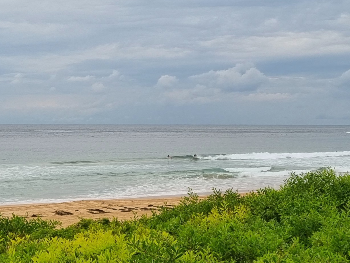
Here’s a picture of the only person surfing between south Curly and Long Reef this morning. It was at north Curly and the wait for set waves like this one was very long. Big question mark over the water quality too because the lagoon was draining all the valley’s run-off into the sea.

Weather Situation
A high over the Tasman sea is maintaining a ridge to the southern Queensland coast. The high remains the dominant feature for the remainder of the week and through the weekend, maintaining north to northeast winds along the New South Wales Coast.
Forecast for Wednesday until midnight
Winds: Northeasterly 15 to 25 knots. Seas: 1 to 1.5 metres increasing to 1.5 to 2 metres by early evening. Swell: Southeasterly about 1 metre. Isolated thunderstorms.
Forecast for Thursday
Winds: Northeasterly 20 to 25 knots. Seas: 1.5 to 2 metres. Swell: Easterly 1.5 metres. The chance of thunderstorms.
Forecast for Friday
Winds: North to northeasterly 15 to 20 knots. Seas: 1 to 2 metres. Swell: Easterly 1.5 metres. Isolated thunderstorms until late afternoon, mainly offshore.

