Hello Friends,
Rainy again, but I managed to grab a quick snap between showers (90% chance of rain today and the outlook is for another week of on again/off again showers).
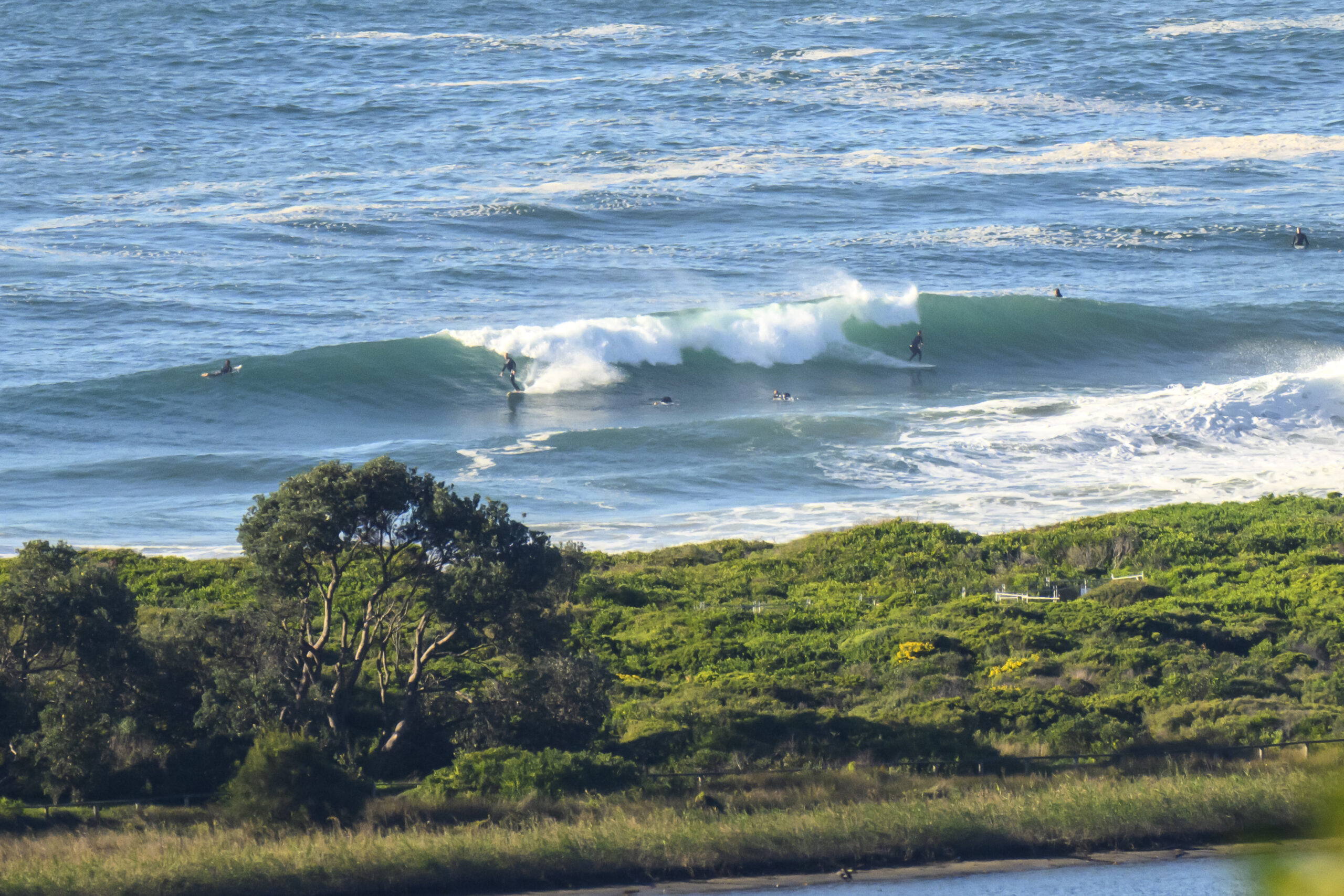
The wind swell has come around to the east and the MHL buoy was showing an average size of around two metres, with a period of 7 seconds. A little before 0800, the wind was out of the NE at 10-15kts but Dee Why wasn’t looking super chopped up. There were a few bods experimenting with the low energy levels and extremely doubtful water quality. The biggest wave I spotted was around the chest high mark, but for the most part it was smaller.
The trans Tasman high, as the Bureau notes below, is going to keep the settings more or less the same right through the weekend. From the shape of the models, today is about the peak in terms of average wave size for the same period.
Tide was high at 0500 and is currently dropping to a low at 1130-ish before rebounding again to a high at around 1715.
Have yourself a top old day and stay happy as best you can!
Weather Situation from the Bureau of Meterology
A high over the Tasman sea is maintaining a ridge to the southern Queensland coast. The high remains the dominant feature for the remainder of the week and through the weekend, maintaining north to northeast winds along the New South Wales Coast.
Forecast for Thursday until midnight
Winds: Northeasterly 15 to 25 knots. Seas: 1.5 to 2 metres. Swell: Easterly 2 metres.
Forecast for Friday
Winds: Northeasterly 15 to 20 knots. Seas: 1 to 2 metres. Swell: Easterly about 2 metres. The chance of thunderstorms.
Forecast for Saturday
Winds: North to northeasterly 10 to 20 knots. Seas: 1 to 1.5 metres. Swell: Easterly 1.5 metres.


