
Hello Friends,
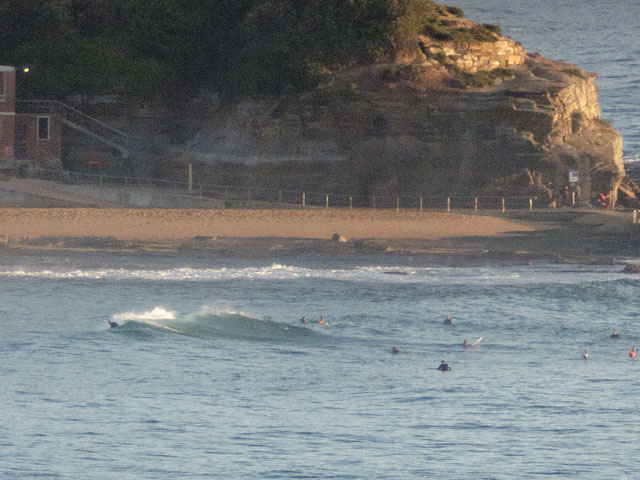
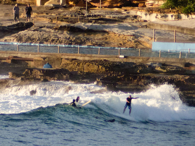
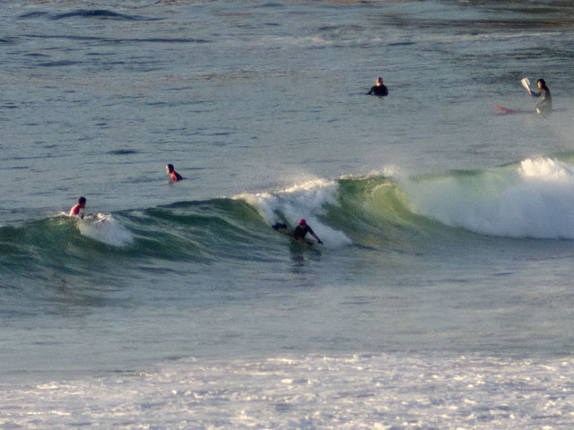
Light breezes this morning are combining with a surprisingly indolent little south swell to lure a fair number of punters on a sunny Saturday morning. The numbers from the MHL are showing swell coming from the SSE at a touch under two metres and around 11 seconds apart. I was surprised to see how small it was at the north end of the Collaroy-Narrabeen stretch and at No Man’s to Dee Why. There were the occasional sets of around waist high, maybe a bit bigger, but there were also quite long waits between them and the quality was not great. The incoming tide was probably not helping much, and those flat summer banks are still the dominant feature.
Keep the expectations modest and with a bit of effort, you should be able to find somewhere to get wet.
I’m with the Goat on the outlook for the coming week. His call (see down the page) lines up quite well with this morning’s observations and run of the forecast models. For what it’s worth, I’m still liking the look of that area off to the NE of NZ. Some of the long range models are showing the fetch building up a nice little pulse of east swell for the east coast by around this time next week. The wind forecast doesn’t look great, but then it doesn’t look totally ‘orrible either. Could be just your average onshore pattern (ie get in early before it junks out).
TIDES: H @1050, L @1720
Weather Situation
A high pressure system west of Tasmania is moving eastwards, with a brief southerly change expected along the NSW south coast this morning ahead of it. By Sunday the high will move to the southeast of Tasmania.
A cold front is expected to move northwards along the southern coast during Monday. It should then stall along the Mid North Coast during Tuesday.
Forecast for Saturday until midnight
Winds: East to northeasterly 5 to 10 knots increasing to 10 to 15 knots by early evening. Seas: Below 1 metre. Swell: Southeasterly about 1.5 metres.
Forecast for Sunday
Winds: North to northeasterly 10 to 15 knots becoming northeasterly 15 to 20 knots by early evening. Seas: Below 1 metre increasing to 1 to 1.5 metres by early evening. Swell: Southeasterly 1 metre.
Forecast for Monday
Winds: North to northeasterly 15 to 25 knots increasing to 20 to 30 knots during the afternoon ahead of a late southerly change 20 to 30 knots. Seas: 1.5 to 2 metres increasing up to 3 metres. Swell: Southeasterly 1 metre.
