Hello Friends,
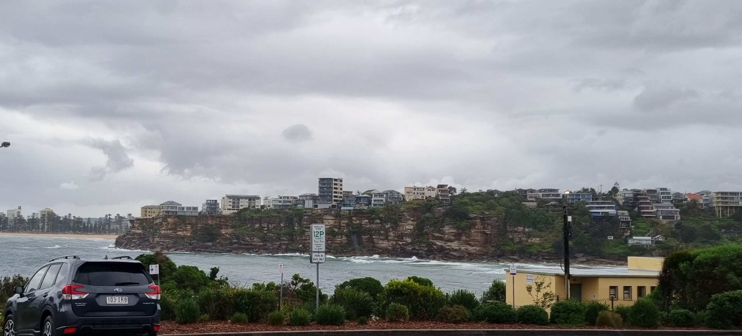
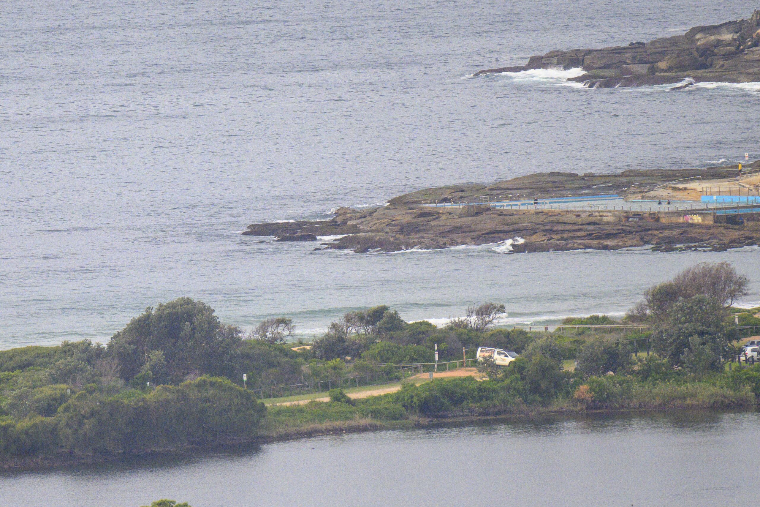
A bit of sea mist about at sunrise this morning but the punchy swell of yesterday at this time is gone. Huey switched it all off late in the morning and as the average period went from close to 11 seconds to 6 seconds last night. It’s bumped up very slightly to nearly 8 seconds, but it wasn’t looking too enticing where Dee Why was concerned. Wind was light and out of the north and tide was high. I reckon spots with better exposure to the east swell direction would offer improved prospects.
Although there is the prospect of another cyclone developing off the far north Queensland coast (just what they need) in the next few days, the models show it moving ashore fairly quickly. If the models are right, there’s no prospect of significant energy getting this far down the coast. Looks like there might be some juice for Noosa etc around about Thursday, but it’ll probably be raining.
Surf prospects across the Sydney region look like bumbling around at marginal to tiny levels for the next week. This morning’s run of the wave forecast models don’t really show anything significant in our swell windows for as far out as they look. With luck it won’t get to flat because the water’s so warm you don’t need much of any excuse to talk yourself in.
Go well with your day!
TIDES: H @0720 L @1400

Weather Situation
A high pressure system over the central Tasman Sea will move slowly east during the next day or two before stalling near New Zealand later in the week. A ridge from this high extends to the northern New South Wales coast. On Monday a front passing to the south will bring a weak southerly change to southern parts, before a more vigorous southerly arrives late Tuesday or Wednesday. These changes are likely to be fairly short-lived as a generally east to northeasterly wind regime dominates the outlook period.Forecast for Monday until midnight
Winds: Northerly 15 to 20 knots tending north to northeasterly 10 to 15 knots around midday then becoming northeasterly 15 to 25 knots during the afternoon and evening. Seas: 1 to 2 metres. Swell: Easterly 1 metre.Forecast for Tuesday
Winds: North to northeasterly 15 to 20 knots increasing to 20 to 30 knots during the afternoon. Seas: Up to 2 metres increasing to 3 metres later in the evening. Swell: Easterly 1 metre.Forecast for Wednesday
Winds: An early southerly change 15 to 25 knots tending southeasterly 10 to 15 knots during the afternoon. Winds tending northeasterly during the evening. Seas: Up to 2 metres decreasing to below 1 metre during the evening. Swell: Northeasterly 1 metre.


