Hello Friends,
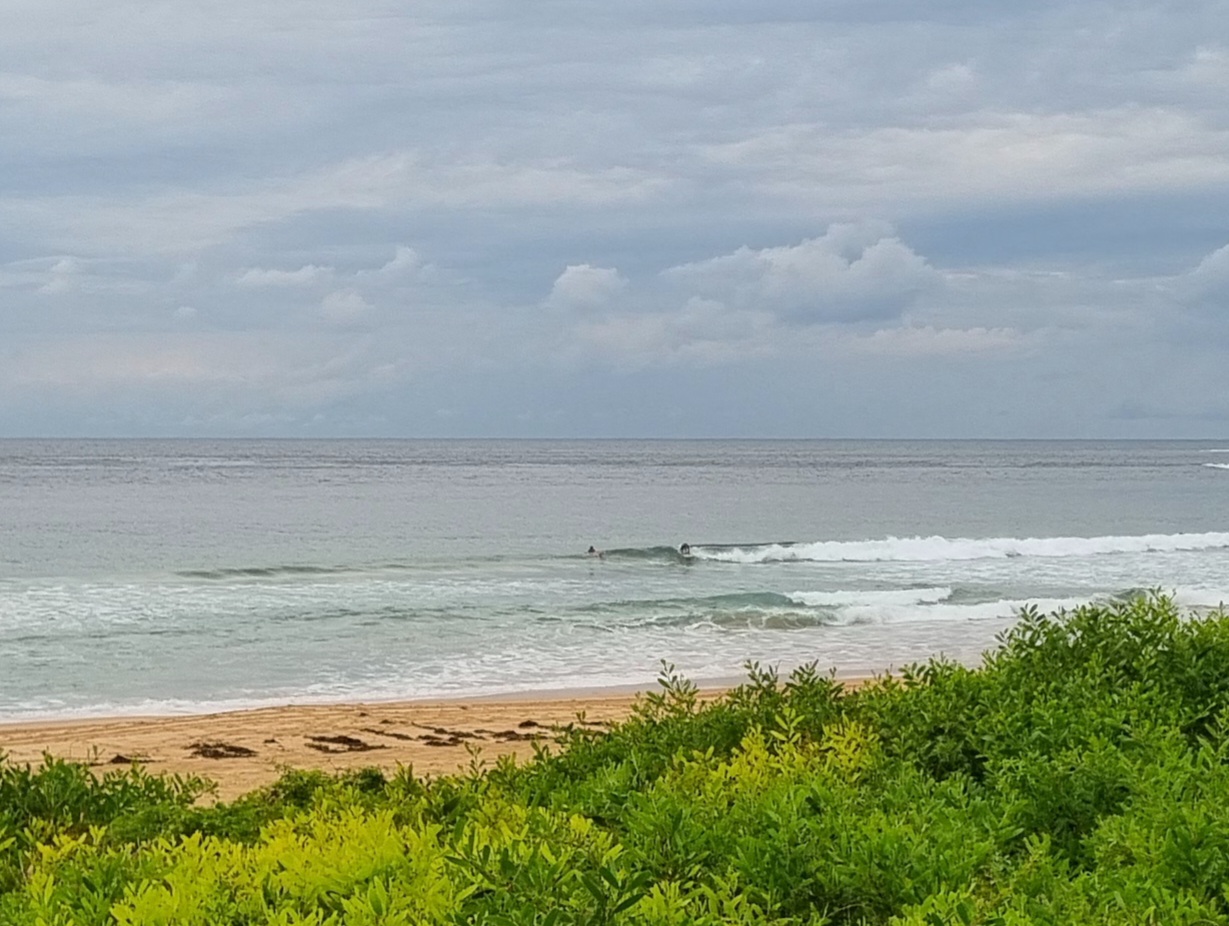
What a relief. Change came through mid afternoon and the temperature at my joint dropped about 14 degrees. Depending on where you were along the coast, the southerly was whipping along at anywhere from 25 to 40 kts on gusts. Not surprisingly this has coincided with the primary swell direction swinging south. Average size at sea is an impressive 3 metres, but the period is just 7 seconds, so the folks waiting in the water at Dee Why point were doing just that – waiting. I didn’t see anything surfable come in for them although I have to admit not wanting to spend much time in the crows nest with the wind blasting away.
Tomorrow doesn’t look too hopeful for the early. The southerly’s going to be going hard and the Bureau says it’ll swing to the SE from early. The Bureau’s swell model is showing the average swell height dropping into the metre range too. That being the case, I’m not too confident we’ll see much of anything wrapping into the protected corners. As usual, I hope to be proven wrong…
Go well with your Sunday evening, and catchya again tomorrow!
Here’s the latest official forecast:
Weather Situation
A cold front and associated gusty southerly change will continue to move along the central coast overnight and through the north coast Monday morning. A high pressure system is expected to move towards Tasmania in the wake of the front with a ridge extending to the north coast. The high should reach the Tasman Sea on Wednesday with a southeast airstream along the coast tending northeasterly in the south later in the week.Forecast for Sunday until midnight
Winds: Southerly 30 knots decreasing to 25 to 30 knots later in the evening. Seas: 3 metres. Swell: Southerly 1.5 metres.Forecast for Monday
Winds: Southerly 20 to 25 knots tending south to southeasterly 15 to 20 knots around dawn then becoming southeasterly 10 to 15 knots during the morning. Seas: 1.5 to 2 metres decreasing to below 1 metre during the morning. Swell: Southerly about 2 metres.Forecast for Tuesday
Winds: South to southeasterly 5 to 10 knots becoming southerly 10 to 15 knots around midday then increasing to 15 to 20 knots by early evening. Seas: Below 1 metre increasing to 1.5 metres later in the evening. Swell: Southeasterly 0.5 to 1.5 metres.Forecast for Wednesday
Winds: South to southeasterly 15 to 20 knots tending east to southeasterly 10 to 15 knots during the afternoon. Seas: 1 to 1.5 metres decreasing to below 1 metre during the evening. Swell: Southerly 0.5 to 2 metres.


