Hello Friends,
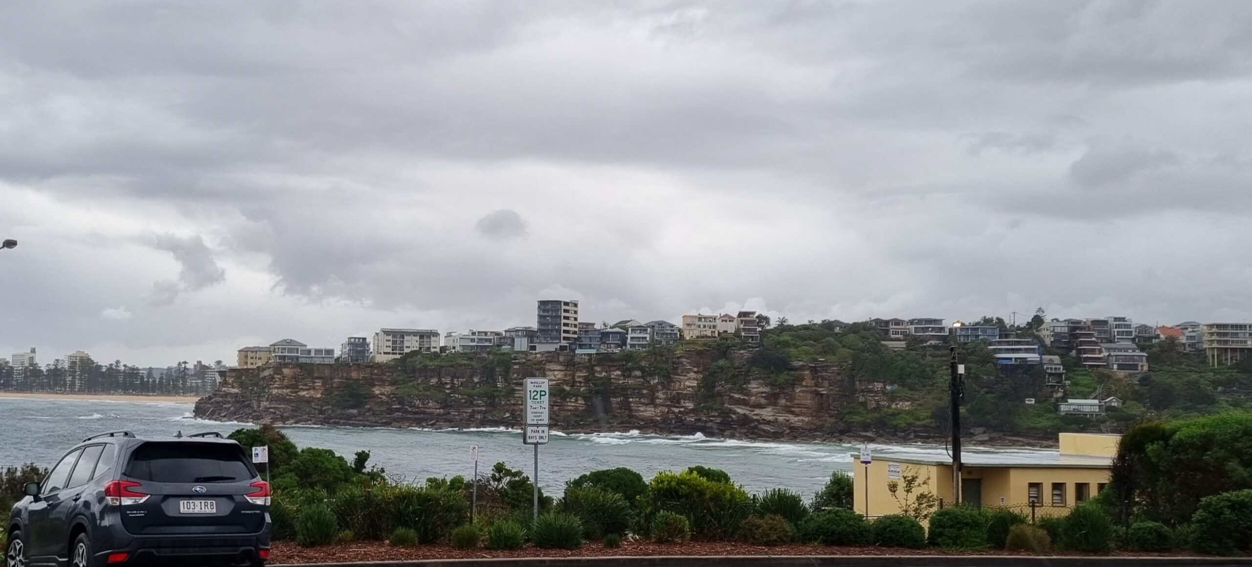
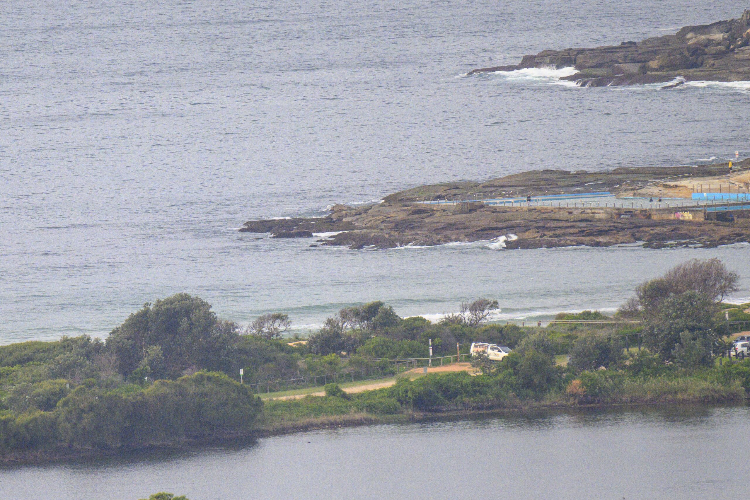
Curious. The MHL buoy was showing the swell coming from the south with a 10 sec average period and an average height at sea of 4 metres at 0600. And yet Dee Why point is showing wave faces of about half that number. Conditions overall aren’t too flash. Leaving aside the lowering grey skies, there’s also a forecast for onshores all day. The Batemans Bay swell data is pointing to a quick retreat from the current peak in energy levels for Sydney. If it goes the same way here, we’ll be back to a couple metres out at sea by dusk.
The Bureau’s official wind and wave forecast maps for Sydney are not a source of great joy for tomorrow. The wind is set to be around to the west (hooray!) Thursday morning, but the swell forecast is calling for 1-1.5m. So I’m guessing the best shot for a wave will be early tomorrow morning when some of the 10 sec stuff might still be around. However, if the forecast is right, it’ll be flat by tomorrow afternoon.
Right now it looks as though Friday will be back to SE’ly conditions with a small SE pulse (maybe waist to chest high).
It’s the first Wednesday of the month, so tonight Surfrider Northern Beaches meets upstairs at North Narrabeen SLSC from 745pm. Adventurer Roz Savage is going to be coming along to talk about her plan to row across the Indian Ocean (since she’s already knocked over the Atlantic and Pacific passages, she has some serious cred). Should be very interesting and of course it’s open to the general public.
Weather Situation
A high pressure system south of Western Australia extends a ridge across southern New South Wales to the Tasman Sea, while a trough lies over the state’s northeast. A weak cold front is expected to pass to the south of New South Wales during Thursday, bringing another southerly change to southern parts of the coast. Following this, the high to the west is forecast to strengthen and move closer. This high looks set to reach the Tasman Sea during the weekend, bringing another southerly change to the coast, and will remain the dominant synoptic feature until early in the new week.
Forecast for Wednesday until midnight
Winds: East to southeasterly 10 to 15 knots becoming easterly up to 10 knots around midday then tending east to northeasterly 10 to 15 knots during the afternoon. Seas: Below 1 metre. Swell: Southerly increasing to 2 to 3 metres. Large swells breaking dangerously close inshore.
Forecast for Thursday
Winds: Northeast to northwesterly 5 to 10 knots tending westerly around dawn then tending south to southwesterly up to 15 knots around midday. Winds tending south to southeasterly 10 to 15 knots during the afternoon. Seas: Below 1 metre. Swell: Southerly about 2 metres decreasing to 1 metre from midday. Isolated thunderstorms until afternoon.
Forecast for FridayWinds: East to southeasterly 5 to 15 knots. Seas: Below 1 metre. Swell: Southerly about 1.5 metres.


