Hello Friends,
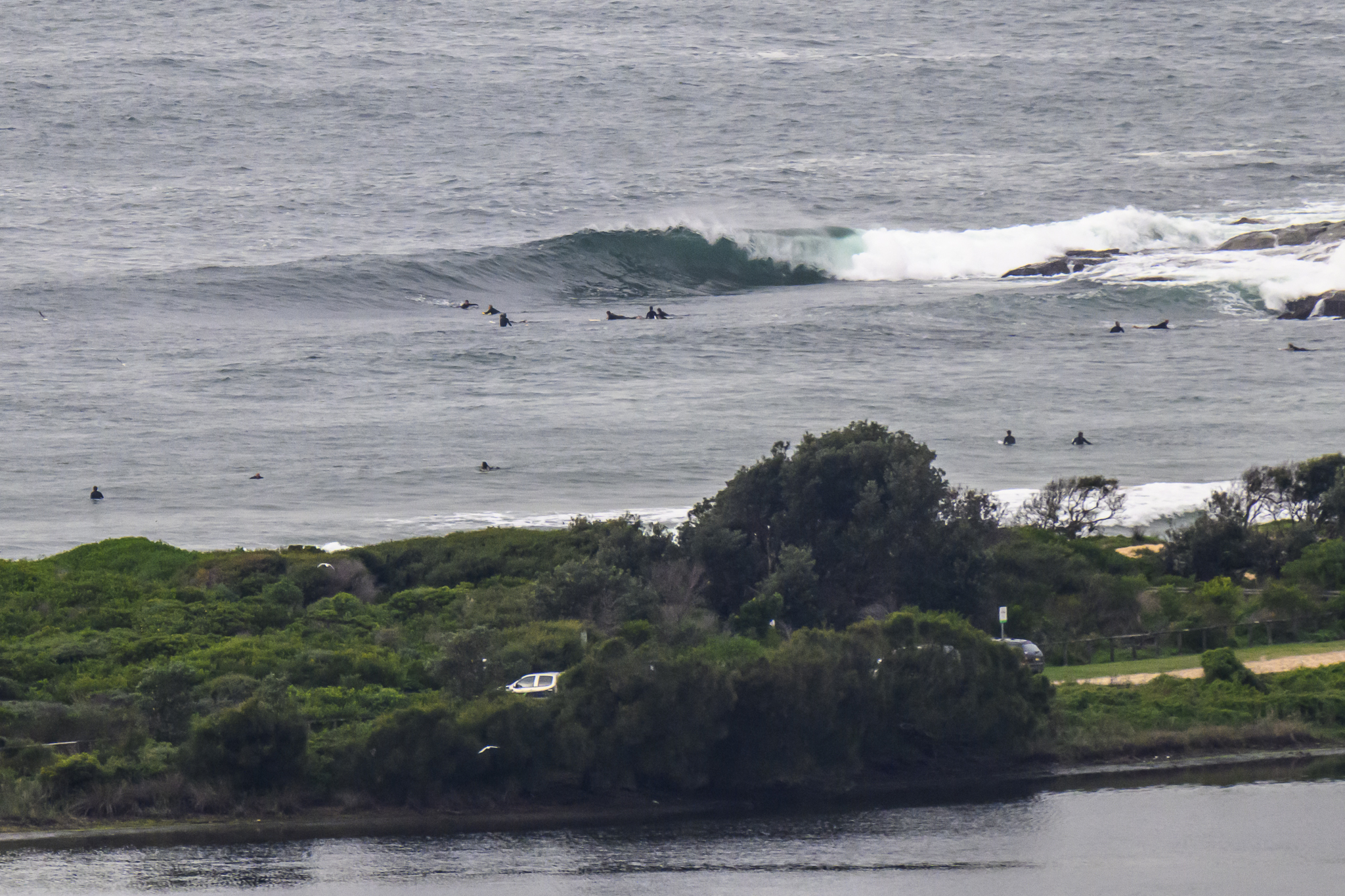
Sorry to run late. Not that it matters too much because this morning sees uniformly ordinary conditions along the northern beaches. A choppy 8 second period south swell of less than a metre is not producing much of interest. I didn’t see a single person in the water from Mona Vale to Warriewood. There were four or five struggling around in the chop at North Narrabeen, but nobody else could be seen from there south to Collaroy. There were a couple stalwarts having a lash around the corner at Longy, and another two or three down at Dee Why.
Wind is out of the ESE at a touch under 10 kts and from the forecast it looks likely to stay that way more or less.
From the cast of the models, we’re not looking too good for the next week along our stretch of coast. In fact it would seem your best hope for a wave on the eastern seaboard will be up along the northern-most surfable coast in Queensland. However, there is a possibility that by Friday we might see a gradual, if slight increase.
Have yourself a good one!
TIDES: H @1030, L @1640
Weather Situation
A slow moving high centred over the southern Tasman Sea will maintain a ridge over eastern NSW early this week. A low pressure trough is likely to affect the west and south of the state Wednesday.Forecast for Monday until midnight
Winds: East to northeasterly 10 to 15 knots. Seas: Below 1 metre. Swell: Southerly about 2 metres.Forecast for Tuesday
Winds: North to northeasterly 10 to 15 knots increasing to 15 to 20 knots around midday then increasing to 20 to 25 knots later in the evening. Seas: Below 1 metre increasing to 1 to 1.5 metres during the afternoon then increasing to 1.5 to 2 metres by early evening. Swell: Southeasterly about 1.5 metres.Forecast for Wednesday
Winds: Northerly 20 to 25 knots tending north to northeasterly 10 to 20 knots during the morning. Seas: 1 to 2 metres. Swell: Easterly 1 metre.


