Hello Friends,
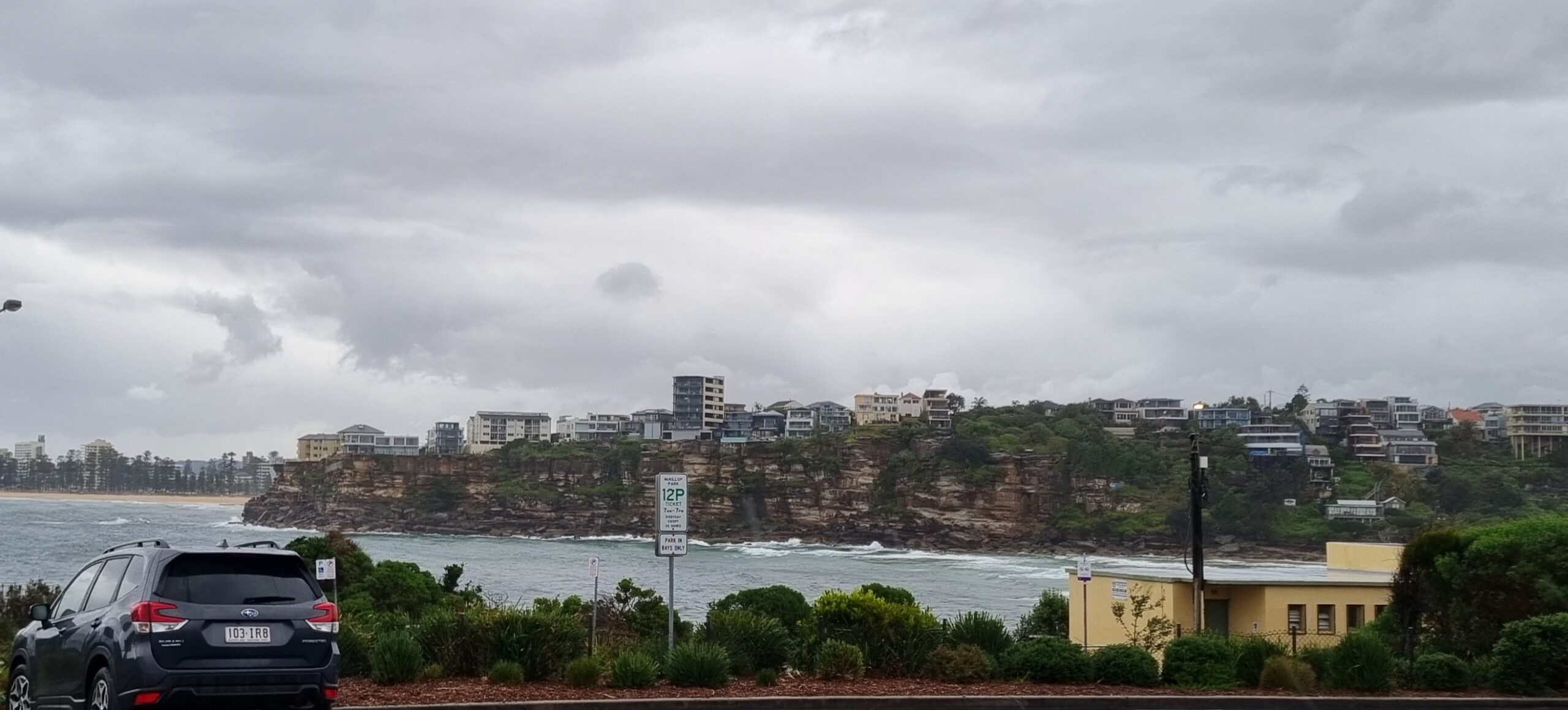
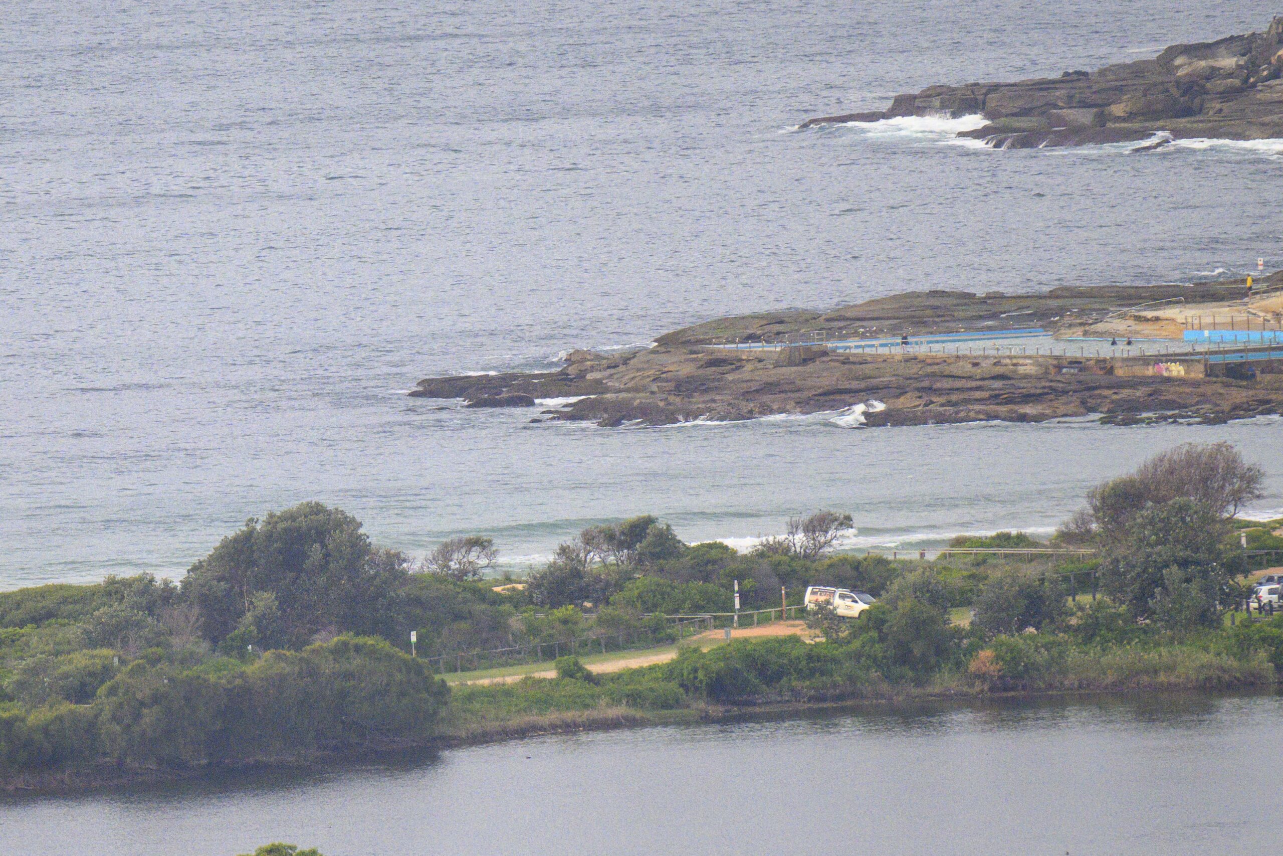
Running very late this morning because I haven’t been able to see the beach until the last hour or so. Anyway, it’s grey and messy, but as PB’s noted, there are waves around. Wind is out of the ENE at 10-15kts and the 8-9 second period east windswell is around 2.5 metres at sea. Wave faces on the bigger ones at Dee Why were around the head high mark. But the water is a horrible greenish grey thanks to the torrents of rain we had earlier this morning.
This morning’s run of the swell models suggests that the swell energy will stay at around these levels for the next couple days or so. Tomorrow’s wind forecast is for NE wind, so there might be a few options at the northern ends…
Go well!
TIDES: H @1015, L @1620
Weather Situation
A broad low pressure trough across inland NSW will move east to southeast over the course of the next few days and affect the coast during late Tuesday and on Wednesday. A high pressure ridge is expected to extend towards NSW coast in a wake of the trough on Thursday.Forecast for Monday until midnight
Winds: East to northeasterly 15 to 20 knots. Seas: 1 to 1.5 metres increasing to 2 metres by early evening. Swell: Easterly 3 metres becoming 2 to 3 metres from the late morning. The chance of thunderstorms offshore, extending throughout during the evening. Large swells breaking dangerously close inshore.Forecast for Tuesday
Winds: North to northeasterly 10 to 20 knots. Seas: 1 to 1.5 metres increasing to 1.5 to 2 metres by early evening. Swell: Easterly 2 to 3 metres. The chance of thunderstorms, contracting offshore by early evening. Large swells breaking dangerously close inshore in the early morning.Forecast for Wednesday
Winds: West to northwesterly 5 to 15 knots tending southwesterly during the afternoon then tending northeasterly up to 10 knots during the evening. Seas: Up to 1.5 metres decreasing to below 1 metre during the evening. Swell: Easterly 2 to 3 metres.


