Hello Friends,
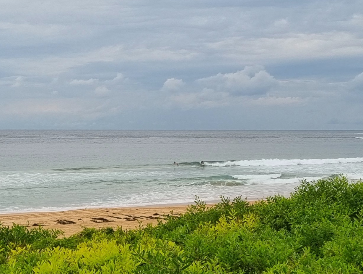
Southerly swell has pulsed up again this morning and for the early risers the wind was out of the WSW. The MHL buoy shows that it’s averaging around 2 metres and the average period is about 9 seconds. When I took my first pictures of the day at around 0645 the incoming tide was making things look a bit fat and full, but there were sets into the chest high range. The weather is set to cloud up this afternoon, and stay that way the rest of the week. Wind is expected to settle into a 15-20kt southerly too, so the number of surf options will contract to a few south corners before very much longer I’d say.
The latest run of the models seems to be pointing toward small but not quite flat conditions across the coming week. Today the Bureau has issued a dangerous surf warning and they have it in tomorrow’s forecast as well. The other models don’t seem to be lining up with them on that front. Be interesting to see if the BoM or the models come closer to what we actually observe.
Have yourself a top old day!


TIDES: H @0830 L @1430
Weather Situation
A strong high pressure system south of the Bight is extending a ridge to the New South Wales far north coast. The high will move very slowly east over the next few days and it is expected to move over the southwestern Tasman Sea on Thursday maintaining the ridge to the far north coast.
Forecast for Monday until midnight
Winds: Southerly 15 to 25 knots. Seas: 1 to 2 metres. Swell: Southerly 2 to 3 metres. Large swells breaking dangerously close inshore.
Forecast for Tuesday
Winds: South to southeasterly 15 to 20 knots. Seas: 1.5 to 2 metres. Swell: Southerly about 2 metres. Large swells breaking dangerously close inshore.
Forecast for Wednesday
Winds: South to southeasterly 15 to 20 knots. Seas: 1 to 1.5 metres. Swell: Southerly 1.5 metres.

