Hello Friends,
Flying day for yours truly. At around 3pm Sydney time my Delta 777 flight will be climbing away from LA as it heads for Oz. Tomorrow morning I’ll be back in the land of warm water, and I hope, a wave or two to clear the jet-lagged brain.
It looks as though the punchy south swell of this morning will have faded quite a bit by tomorrow, but with luck there should still be surfable options around the place. As I typed this out at a little after 0500 Sydney time, the wind reports were showing westerly. But the forecast is for another bout of stiff SW in the morning which should then decrease as the day goes along. From the shape of the forecasts, it looks as though the swell will be overhead early but by dark be into the head to chest high range on sets at the exposed spots. Saturday could be waist to chest with the odd head high bomb.
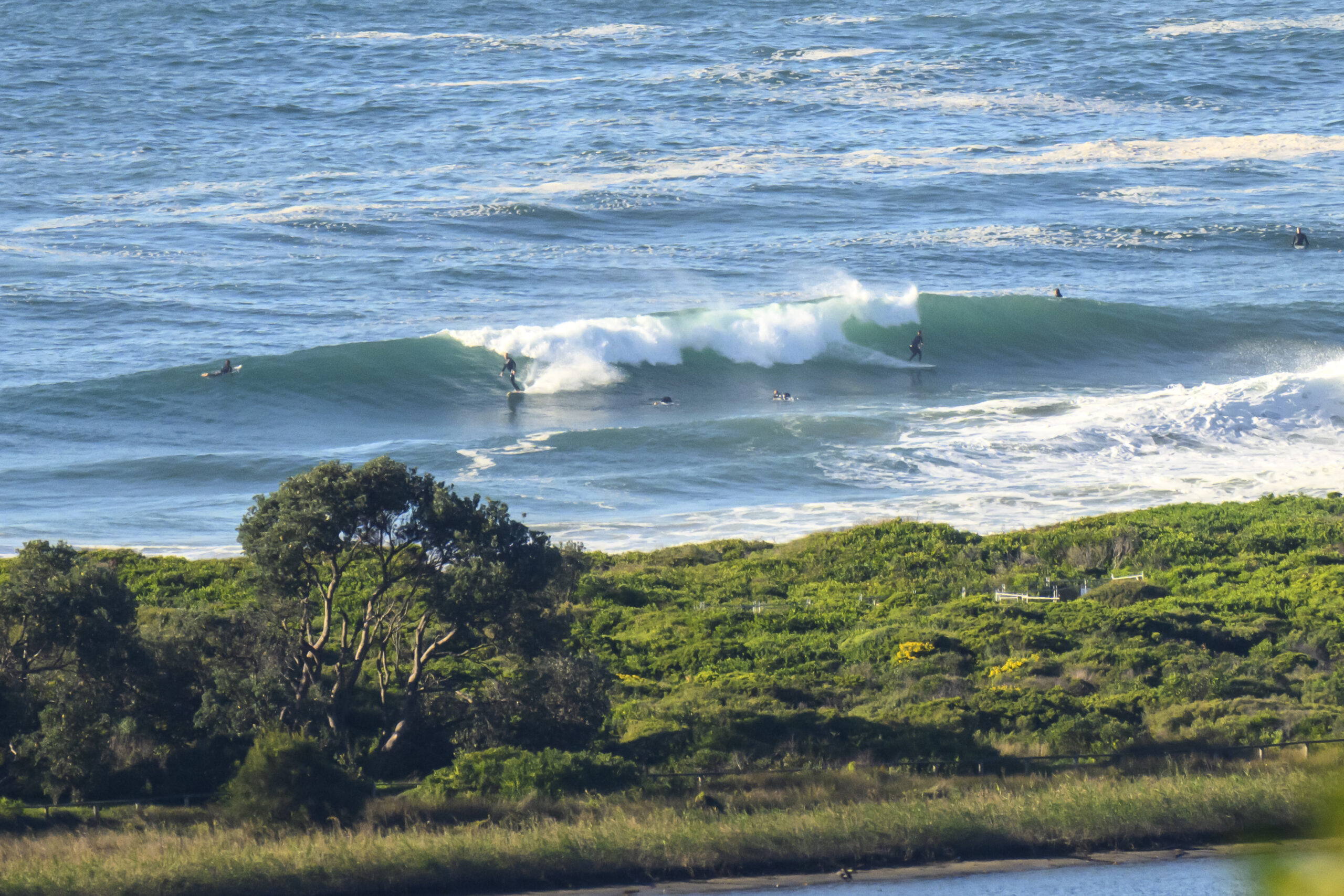
One last set of piccies for ya from southern California. I took these yesterday when Roberto, pal Guy and I wandered around looking for something to ride mals on. There were some tiny SW sets around the place as we travelled south of Rincon toward Ventura. We ended up splashing around at a popular longboarding spot (sort of a Collaroy set up) called Mondos. Mondos is just down from Pitas point which can be quite a good wave during winter time. Anyway, it was extremely small and very slow, but we all got a few. Water was cold of course, but modern wetsuits made all the difference. In true California style when we got out of the water we headed off to a mexican restaurant for the usual post surfing fare and beers. Perfecto!
Catchya maybe later on Saturday!


Weather Situation
A high pressure system centred over Bass Strait extends a broad ridge over New South Wales while a low develops over the Tasman Sea. Fresh southerly airstream along the coast will ease on Friday as a ridge weakens. Winds will briefly turn westerly from late Saturday ahead of a trough expected on Sunday and Monday. Fresh to strong south to southwest airstream is likely to redevelop early next week in a wake of the trough with a possible low deepening just off New South Wales coast.
Forecast for Friday until midnight
Winds: South to southwesterly 20 to 25 knots decreasing to 15 to 20 knots around midday. Seas: 1.5 to 2 metres. Swell: Southerly 2 to 3 metres. Large swells breaking dangerously close inshore.
Forecast for Saturday
Winds: South to southwesterly 15 to 20 knots decreasing to 10 to 15 knots around dawn then tending west to southwesterly up to 10 knots around midday. Winds tending west to northwesterly up to 10 knots later in the evening. Seas: Up to 1.5 metres decreasing to below 1 metre by early evening. Swell: Southerly about 2 metres.
Forecast for Sunday
Winds: West to northwesterly 5 to 15 knots becoming westerly 15 to 20 knots during the morning then tending west to southwesterly 10 to 15 knots during the afternoon. Seas: Below 1 metre increasing up to 1.5 metres during the morning. Swell: Southeasterly 1.5 metres.

