Hello Friends,
Got that scrambled feeling you get when you’re lucky enough to be able to jump from one side of the planet to the other. I’ve been up since 0400 Sydney time but I wanted to put something up before this day slipped away into a jet-lagged haze.
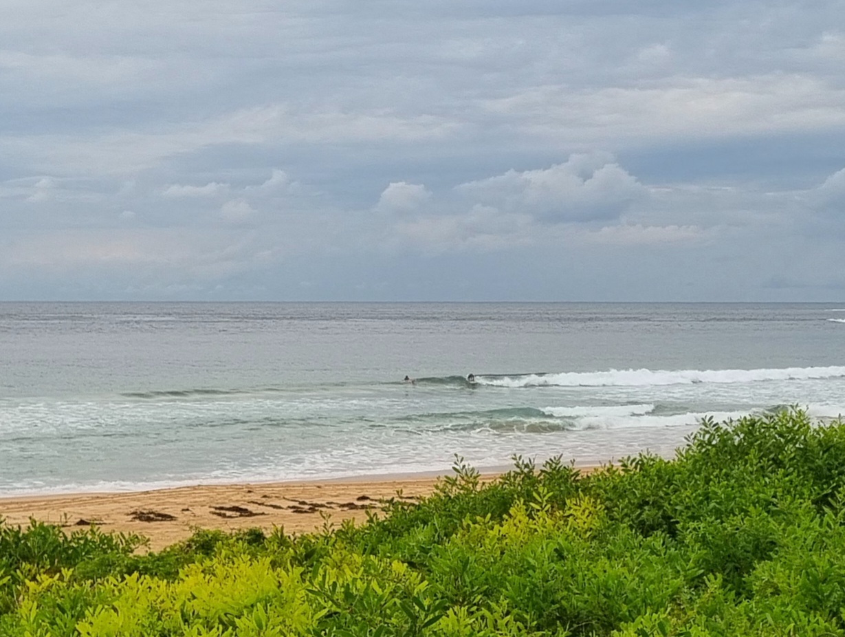
In an effort to get my biological clock reset, I wandered down to the beach with the camera to do a bit of shooting and to get some sun exposure. There was still some energy around thanks to the two metre 9 sec SE swell. On the way into Sydney this morning, the plane did a turn off Royal National Park and I could see a peculiar cross-hatched swell coming in. So maybe it wasn’t surprising that it was a bit confused at Dee Why by the time I got there. Lots of folks were in the water and there were definitely a few good waves to be had, but it wasn’t quite lined up. In fact, there were really only a couple consistent peaks along the Longy to Dee Why stretch. I had a squizz at Collaroy-Narrabeen as well, but while it was cleaner looking, there didn’t really appear to be any banks and 99 percent of the waves were just shutting down. I didn’t go up for a closer look at Narrabeen, but I’d say with the swell direction, it probably wasn’t all that amazing.
Outlook for tomorrow is for the swell to back off and for the wind to be out of the NW. But it could be pretty reasonable for early risers. Swell should still be SE, so that ought to open up a number of options too. It then looks as though we’ll go into a surf slump for next week, but with luck it won’t actually get too small to surf.
Catchya tomorrow!
Weather Situation
A high pressure ridge over the eastern Tasman Sea is weakening as a weak cold front approaches from the west. The front will move over the southwestern Tasman Sea on Sunday and a high pressure system will move south of the Bight extending a ridge behind the front. On Monday a low pressure trough is expected to develop off New South Wales north coast and then to deepen into a low during Tuesday increasing southerly winds along the coast.
Forecast for Saturday until midnight
Winds: Southeasterly 5 to 10 knots tending northerly and light later in the evening. Seas: Below 1 metre. Swell: Southeasterly about 2 metres.
Forecast for Sunday
Winds: North to northwesterly 5 to 10 knots tending west to northwesterly around dawn then tending west to southwesterly by early evening. Winds increasing to west to southwesterly up to 15 knots later in the evening. Seas: Below 1 metre. Swell: Southeasterly 1.5 metres.
Forecast for Monday
Winds: South to southwesterly 10 to 15 knots becoming southerly 15 to 25 knots around dawn. Seas: Below 1 metre increasing to 1 to 1.5 metres around dawn then increasing to 2 metres during the morning. Swell: Southeasterly about 1.5 metres.
Forecast for Tuesday
Winds: South to southwesterly 15 to 25 knots tending west to southwesterly 15 to 25 knots during the morning. Seas: 1 to 1.5 metres increasing to 1.5 to 2 metres during the morning. Swell: Southerly about 2 metres.


