Hello Friends,
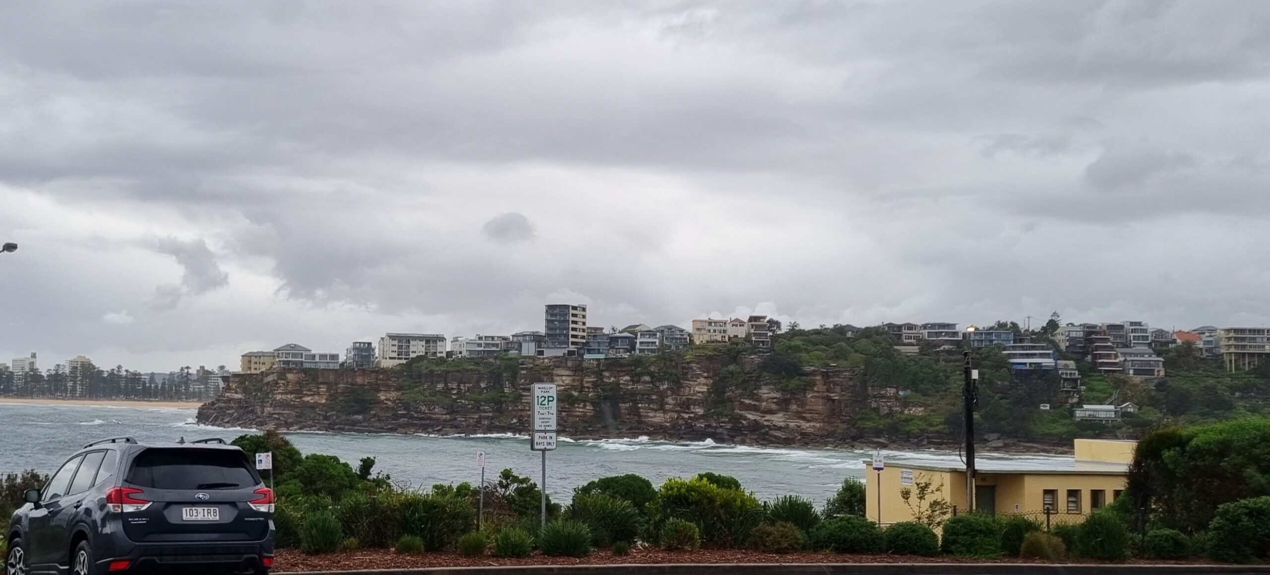
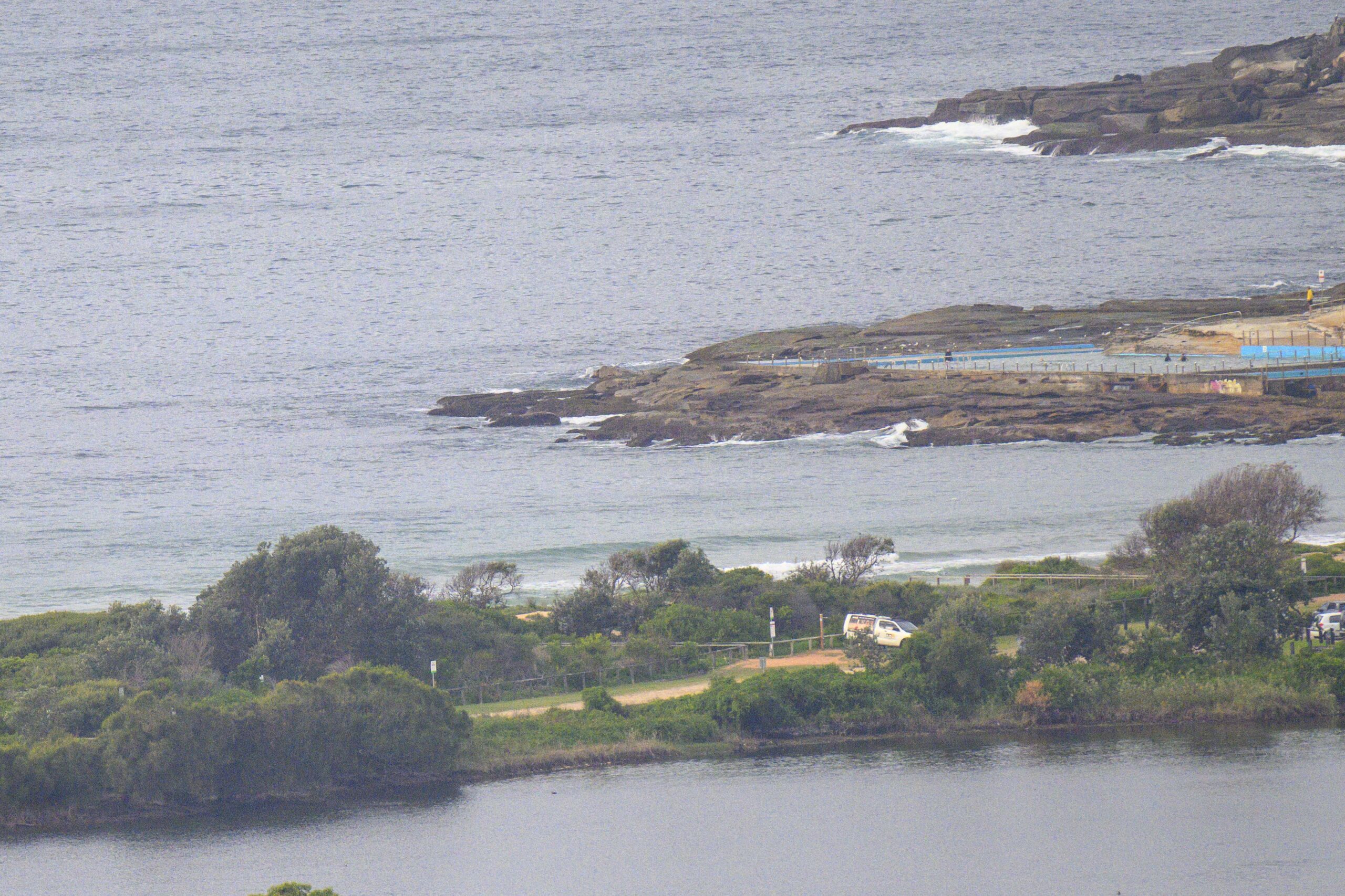
Cold WSW’ly wind and what is likely a peaking south pulse of around 3 metres at 8-10 seconds greeted the hardy early risers in Sydney. Sets at Dee Why point were in the shoulder to head high range and while not super consistent, it looked as though they were turning up pretty regularly. The icy conditions were keeping the number of takers down to fairly minimal levels and the grey skies with occasional showers will probably keep it that way for some time yet. Happily the water’s still around the 21 degree mark, or about 3 degrees above today’s forecast high air temp!
Tide hits the low at 0740 and then runs up to a high at 1345.
The showers are set to clear away this morning ant the Bureau says we should then have a mostly sunny day.
Outlook is for the swell to stay south today and gradually drop back by this evening. Tomorrow is set to be offshore with winds out of the west hitting 20-30 kts. According to the Bureau’s modeling that will mean small to very small surf. Fortunately the swell direction should be moving more to the south east, so I’m hoping that will give us more surf spots to choose from for those little waves.
We’re back to SW winds in the 20-30kt range for Thursday and possibly another small south-ish pulse (maybe chest to head high if we’re lucky).
Longer range outlook is, as usual, a bit all over the shop, but the trends are more or less pointing toward 2-3 metres of south swell across the weekend.
Go well with your Tuesday!
Strong wind warning for New South Wales waters between Point Danger and Moruya Heads.
Details of warnings are available on the Bureau’s website www.bom.gov.au, by telephone 1300-659-218* or through some TV and radio broadcasts.
Weather Situation
A trough and frontal system is located to the east of the New South Wales coast. A low deepening on the trough off the North Coast is associated with strong winds which will, extending to the north on today as the low moves rapidly to the south to southeast. A fresh to strong west to southwest airstream is expected to develop along the New South Wales coast by midweek triggered by an increase in frontal activity from the south.Forecast for Tuesday until midnight
Winds: Southerly 20 to 30 knots tending southwesterly 15 to 25 knots during the afternoon. Seas: 2 to 3 metres decreasing to 1.5 metres by early evening. Swell: Southeasterly about 2 metres.Forecast for Wednesday
Winds: Westerly 15 to 20 knots increasing to 20 to 30 knots by the afternoon then decreasing to 15 to 25 knots later in the evening. Seas: 1 to 2 metres increasing to 3 metres during the afternoon. Swell: Southeasterly about 1.5 metres. The chance of thunderstorms during the evening, mainly offshore.Forecast for Thursday
Winds: West to southwesterly 20 to 30 knots. Seas: Up to 1.5 metres. Swell: Easterly about 1.5 metres. Isolated thunderstorms offshore early in the morning.


