Hello Friends,
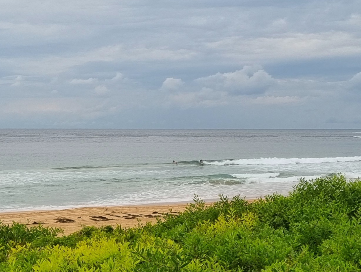
Nice to see some fun looking little sets along Dee Why beach a little before sunrise this morning. From what I could see there was a wait between sets, but that’s hardly unusual when the swell’s small (1.5 metres at sea) and from the south at around 8 seconds. The biggest one I saw was getting into the shoulder high range too. Also on the good side of the ledger was the light offshore wind and an only partly cloudy sky.
Could be a very fun day, but from the model data, it’s looking like your best shot will be this morning because the swell might back off a little in the afternoon. That said, the Bureau is calling for light NE wind later, so south exposed spots should be showing all day.
Outlook for tomorrow is for a small decrease as the (wind) swell goes more around to the east. Again, early risers are likely to have the best of it and if the models are correct, there may not be much left in the tank tomorrow afternoon.
Looking ahead at the coming week, I’d say the Goat has it right. This morning’s run of the models reinforces the point that we’re not likely to have much of interest from Monday to Wednesday thanks to combo of powering offshores and small, weak incoming swell. But…
…The end of the week is still looking very interesting. A very big and deep low is predicted to come spinning up out of the deep southern ocean and into our swell window by around Thursday. As of this morning, the call is for around 3 metres of straight south swell with a pretty reasonable 10+ second period. Again, it’s right out at the limit of the model forecasts, so take it with the usual large grain of salt, but there could be some very fun waves from Thursday into the new week. I know these things can change (and generally it ends up not being as big as we hope), but I’m still stoked!
Have yourself a great Saturday.
TIDES: H @0850 L @1425

Weather Situation from the BoM
A strong high pressure system over the southern Tasman Sea is very slowly moving towards New Zealand maintaining a ridge to New South Wales north coast. A cold front will bring strong and gusty west to southwest change along the coast on Tuesday.
Forecast for Saturday until midnight
Winds
Northeasterly 5 to 10 knots.
Seas
Below 1 metre.
Swell
Southeasterly 1 metre.
Sunday 3 July
Winds
North to northwesterly 10 to 20 knots.
Seas
Below 1 metre increasing to 1 to 1.5 metres during the morning.
Swell
Easterly about 1 metre.
Monday 4 July
Winds
Northwesterly 15 to 20 knots increasing to 20 to 25 knots during the morning then tending westerly 20 to 30 knots during the evening.
Seas
1 to 1.5 metres increasing to 1.5 to 2 metres during the morning then increasing to 3 metres during the evening.
Swell
Easterly about 1 metre.

