Hello Friends,
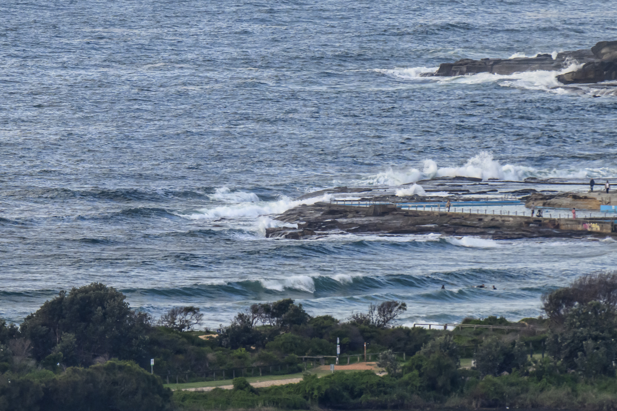
Looks like we’ve got another day of swell and favourable winds. Huey’s going to switch over to onshores tomorrow, so I’d say this is pretty much it for our amazing run of swell. Sets at Dee Why this morning were in the head high to head high plus range and the MHL buoy is reporting 2.5m at 11 seconds from the south, so they’re juicy.
The swell prediction models are showing the energy peaking this afternoon when we can also expect a reasonable chance of showers as well. So, it looks as though my last opportunity to get a few snaps in sunny conditions will be this morning. The Bureau says we’re going to have a week of partly cloudy and on again off again showers.
Tide was high at 0730, so the low will be along at a touch after 1300.
Get out there and enjoy if the schedule permits because if the models are to be believed, we’re heading into a week of marginal conditions from about Sunday…
Go well!


Weather Situation
A vigorous southwesterly airstream over the southern Tasman Sea will weaken today as a high pressure system centred southeast of the Bight is slowly moving east. Onshore winds will develop along New South wales coast from Friday onwards with the high entering Tasman Sea.
Forecast for Thursday until midnight
Winds
South to southwesterly 15 to 25 knots.
Seas
1.5 to 2 metres.
Swell
Southerly about 2 metres.
Friday 15 July
Winds
South to southeasterly 15 to 20 knots tending east to southeasterly 10 to 15 knots around midday.
Seas
1 to 1.5 metres.
Swell
Southerly 2 metres.
Saturday 16 July
Winds
East to northeasterly 10 to 15 knots.
Seas
1 to 1.5 metres.
Swell
Southerly 2 metres.