Hello Friends,
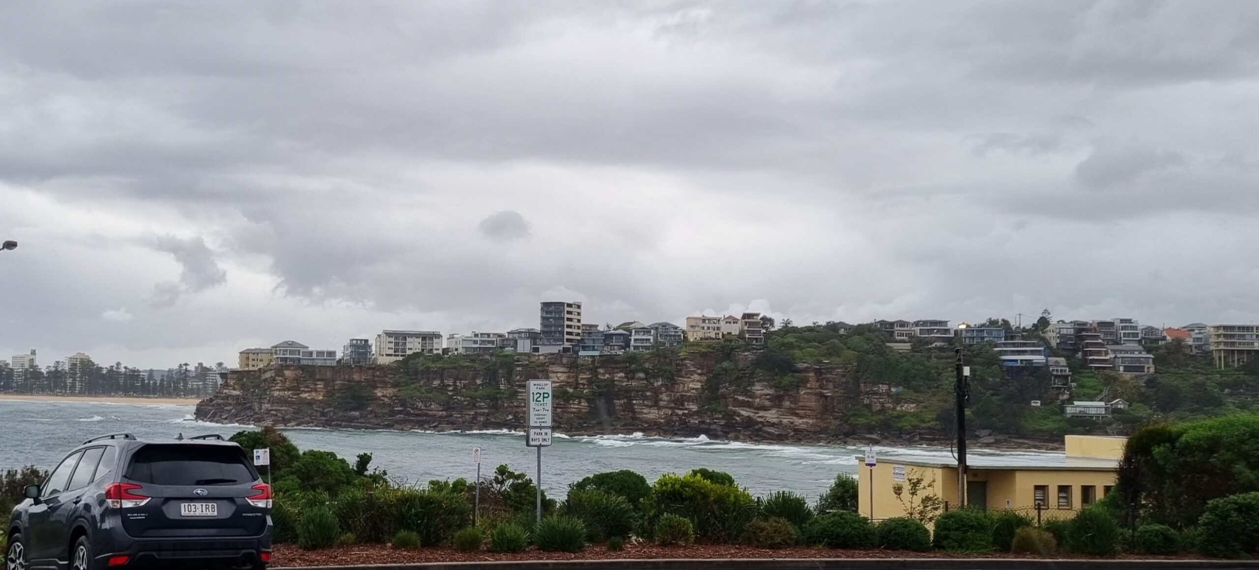
Tide was high at around 0720 this morning and according to the data from the MHL buoy off Sydney the primary swell direction was from the south. It was showing about 1.5 metres on average and the period was a windswell-y 7 seconds.
And the consequence?
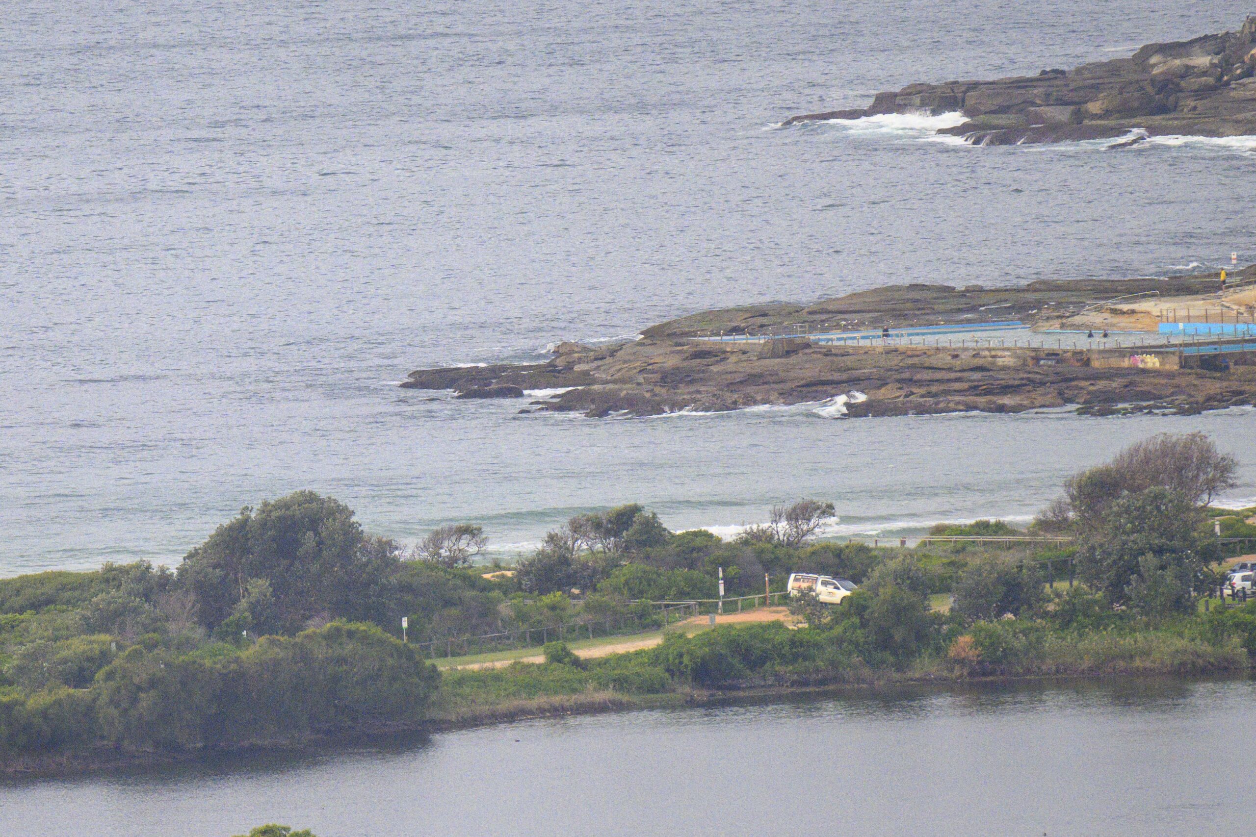
Well at around 0900 when I checked, I couldn’t see anyone in the water at the Dee Why end of the beach.
A day for other activities. Indeed, it looks like the coming week will be best for non-surfing matters until around Friday – if then.
Have yourself a top old Sunday!
Weather Situation
A weak high pressure ridge lies over central and southern NSW and a weak trough now lies off the north coast resulting in southerly winds along the coast today. A cold front is expected to cross the state on Monday with a southerly change moving over coastal waters, strong in the south. A high pressure ridge should then extend over NSW.
Forecast for Sunday until midnight
Winds
South to southwesterly 10 to 15 knots decreasing to 10 knots during the morning then tending northeast to southeasterly during the afternoon. Winds tending northerly 10 to 15 knots later in the evening.
Seas
Below 1 metre.
Swell
Easterly 1 metre.
Monday 29 August
Winds
West to northwesterly 5 to 15 knots tending southwesterly during the afternoon then tending south to southwesterly 15 to 20 knots later in the evening.
Seas
Below 1 metre increasing to 1 to 1.5 metres later in the evening.
Swell
Easterly 1 metre.
Tuesday 30 August
Winds
South to southwesterly 15 to 20 knots becoming southerly 10 to 15 knots during the evening.
Seas
Up to 1.5 metres.
Swell
Easterly 1 metre tending southeasterly from the morning.


