Hello Friends,
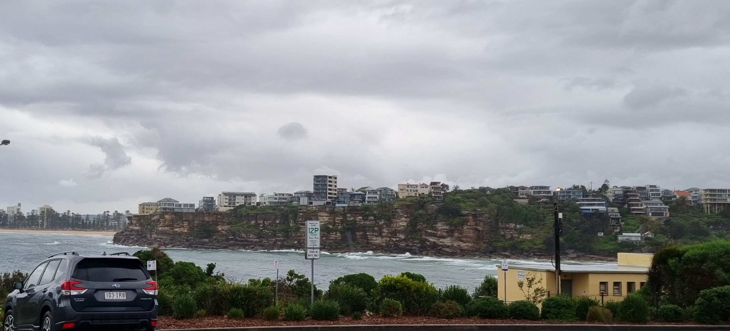
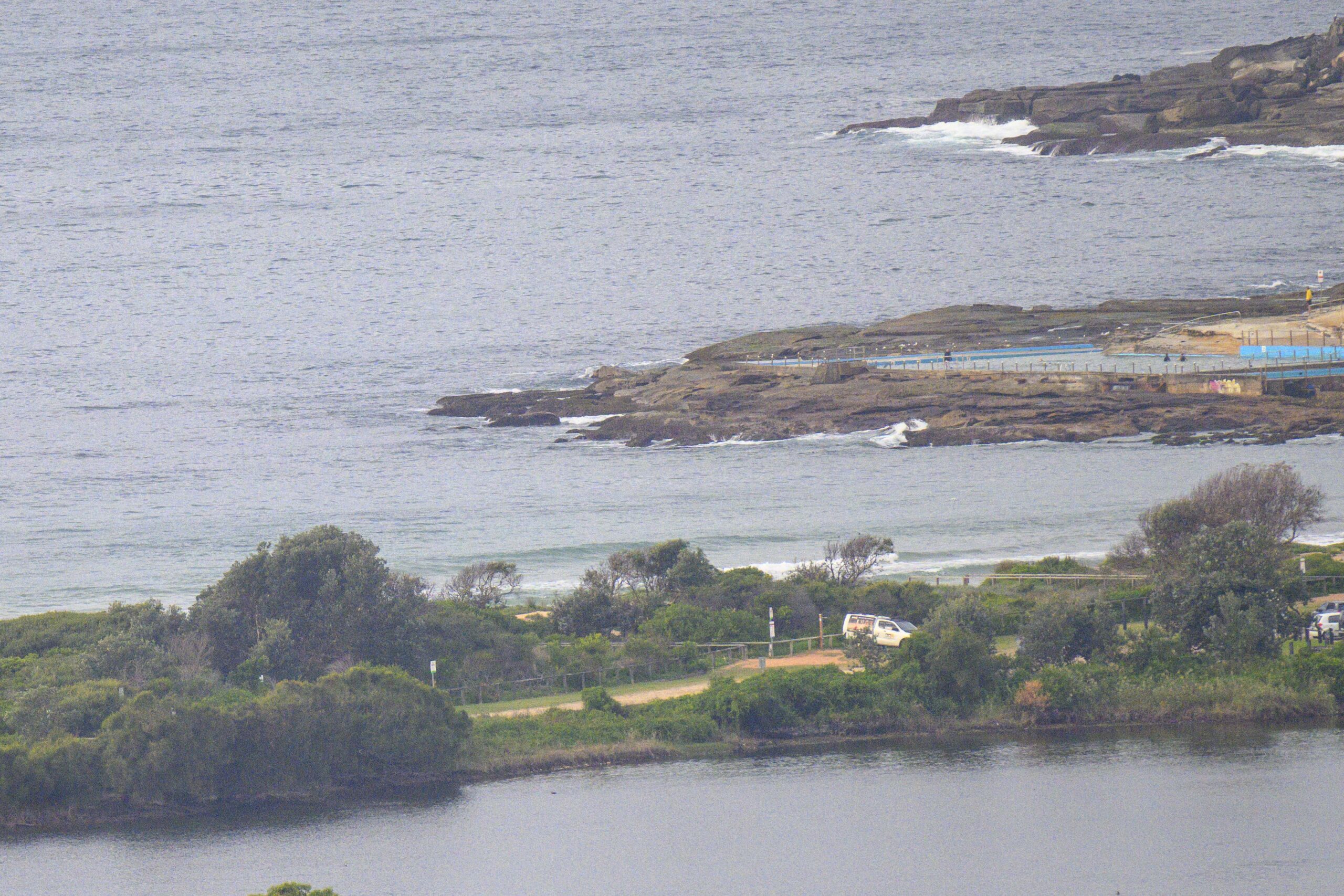
According to the MHL Sydney buoy is reporting a metre of easterly swell with an average period of about 9 seconds. But there’s nothing much showing at Dee Why. The Bureau says it’ll be cloudy with scattered showers and west to sw winds increasing through the day. It could be up to 25-35 kts by this afternoon and as that happens, we might start to see some straight south swell by dark. But the real energy doesn’t look like making an appearance until tomorrow morning when we could see a couple metres of south swell.
So, get the chores taken care of and keep the fingers crossed for the weekend.
Have yourself a great Friday!
Weather Situation
A weakening trough over the north coast with a low pressure system expected to develop over the western Tasman Sea early Friday as an upper trough moves over the region. Winds increase around the low and in the southwesterly airstream Friday and into early Saturday as a cold front moves over southern parts of the state. The low is expected to move rapidly towards New Zealand during Saturday and Sunday as a strong high pressure system moves southwest of the Bight extending a ridge to the northern Tasman Sea and winds are expected to ease gradually.
Forecast for Friday until midnight
- Winds
- West to southwesterly 15 to 25 knots, reaching 30 knots at times, increasing to 25 to 35 knots around midday.
- Seas
- 1 to 2 metres increasing to 3 metres around midday then increasing to 4 metres during the afternoon.
- Swell
- Easterly 1.5 metres.
- Weather
- The chance of thunderstorms offshore.
Saturday 10 September
- Winds
- South to southwesterly 25 to 35 knots becoming southwesterly 20 to 30 knots later in the evening.
- Seas
- Up to 4 metres.
- Swell
- Southeasterly 1 to 2 metres.
Sunday 11 September
- Winds
-
Southwesterly 20 to 30 knots decreasing below 25 knots during the afternoon.
- Seas
-
Up to 3 metres decreasing to 2 metres during the afternoon.
- Swell
-
Southerly 2 metres.


