Hello Friends,
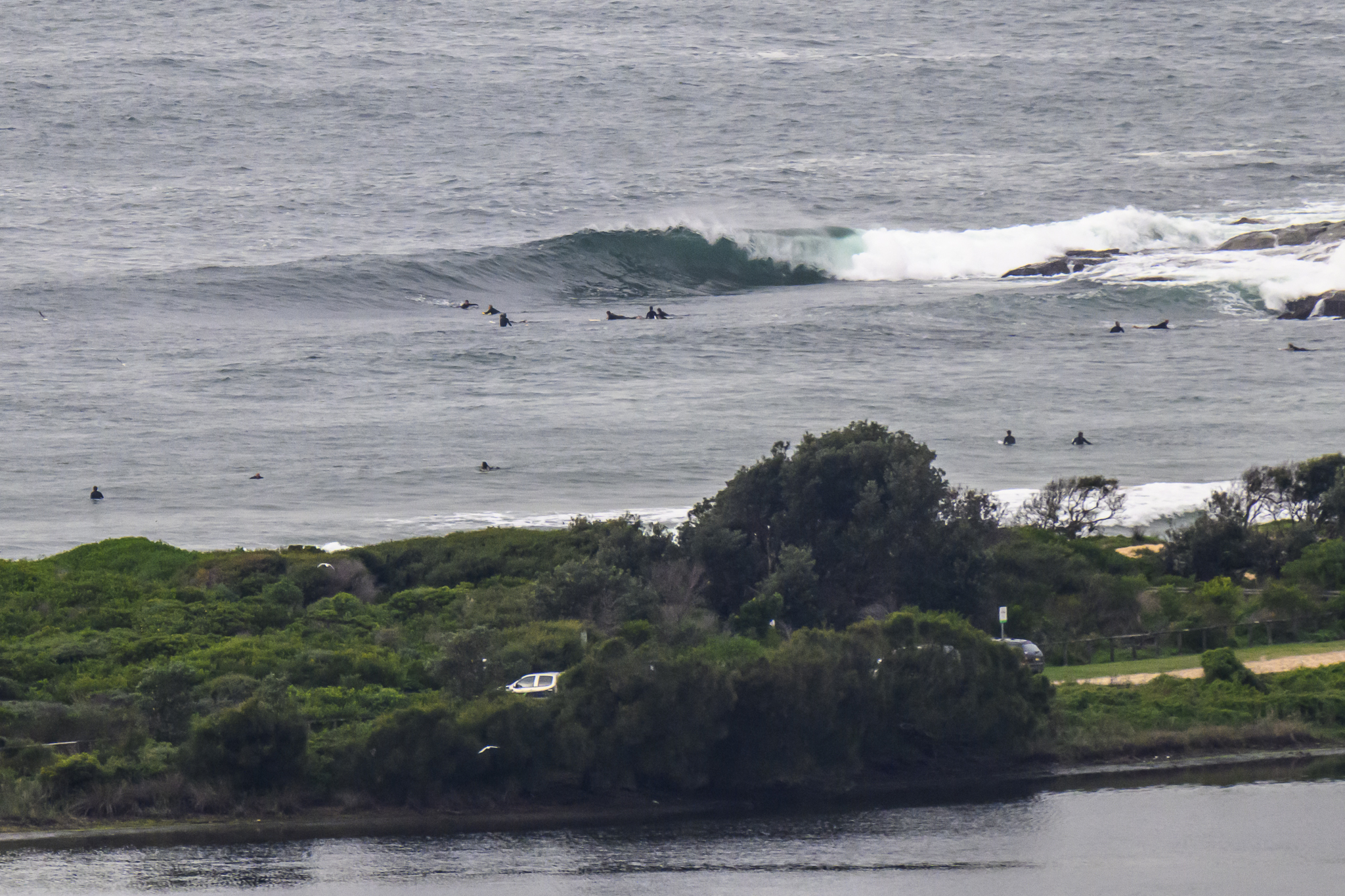
Our little east swell of yesterday seems to have moved around to the ESE this morning, while at the same time losing quite a bit of power. Size is still an okay 1.75m out at sea, but the average period has fallen to 7 seconds – which is getting toward the gutless chop end of the scale.
There were a couple bods flopping about in the weak little shories at Dee Why at around 0700. But if it wasn’t really the spot yesterday, it’s even less the spot today. If you’re keen, I’d be looking at spots with a better alignment to the swell direction.
This morning’s weak sunshine is set to give way to rain later. At the same time the wind should push up into the 20-30kt range from the NE this afternoon. I suppose that might mean some junky, bumpy options in the semi-protected north corners. But with the rainy skies and wind, I’d say you won’t have much competition in the water.
Tomorrow we can apparently expect the rainy weather to continue and the wind to be more northerly and similar in strength to this afternoon. The Bureau’s modelling is showing 2-3 metres of easterly swell, so who knows, there just might be something in those north corners…
Speaking of modelling, the various interpretations of the WAMs for our region are all pointing at some solid 3 metre south swell from late Sunday into Tuesday. Fingers crossed eh?
THE BIG OCTOBER AD SALE CLOSES TOMORROW!
Once again all of RealSurf’s 24/7 ad slots for October are up for grabs at stupid cheap prices. 24/7 means your ads will have exclusive, around the clock, possession of the ad position for the entire month
As usual, we’re auctioning them off, so if you haven’t already done so, get registered here, then log in and place your bid.
To make life easier, here are direct links to the auctions–
- 728×90 top banner (Bidding starts at $279.99, auction closes at 6:30pm on Thr 29 Sep)
- 300×250 top centre (Bidding starts at $259.99, auction closes at 6:13pm on Thr 29 Sep)
- 300×250 bottom centre (Bidding starts at $159.99, auction closes at 7:20pm on Thr 29 Sep)
- 728×90 bottom banner (Bidding starts at $99, auction closes at 7:07pm on Thr 29 Sep)
TIDES: H @0820 L @1430
Weather Situation
Northerly winds will gradually strengthen from the south today as a front and pre-frontal trough approach western NSW. Strong winds will further extend to the north tomorrow before the front comes as a westerly change later on Thursday. Strong and gusty west to southwest airstream will be established along most of the coast in a wake of the front by early Friday.
Forecast for Wednesday until midnight
- Winds
- North to northeasterly 20 to 25 knots increasing to 30 knots during the afternoon.
- Seas
- 1.5 to 2 metres increasing to 3 metres by early evening then decreasing to 2 metres later in the evening.
- Swell
- Easterly about 2 metres.
Thursday 29 September
- Winds
- Northerly 25 to 35 knots decreasing to 20 to 30 knots during the morning then tending west to northwesterly 15 to 25 knots around midday. Winds becoming westerly 20 to 30 knots by early evening.
- Seas
- Up to 3 metres decreasing to 2 metres during the afternoon then increasing to 3 metres later in the evening.
- Swell
- Easterly 2 to 3 metres.
- Weather
- The chance of thunderstorms, contracting offshore and clearing during the afternoon.
Friday 30 September
- Winds
-
Westerly 20 to 30 knots decreasing to 15 to 20 knots during the afternoon.
- Seas
-
Up to 3 metres decreasing to 2 metres during the afternoon.
- Swell
-
Easterly about 1 metre tending southerly 1 metre during the evening


