 Hello Friends,
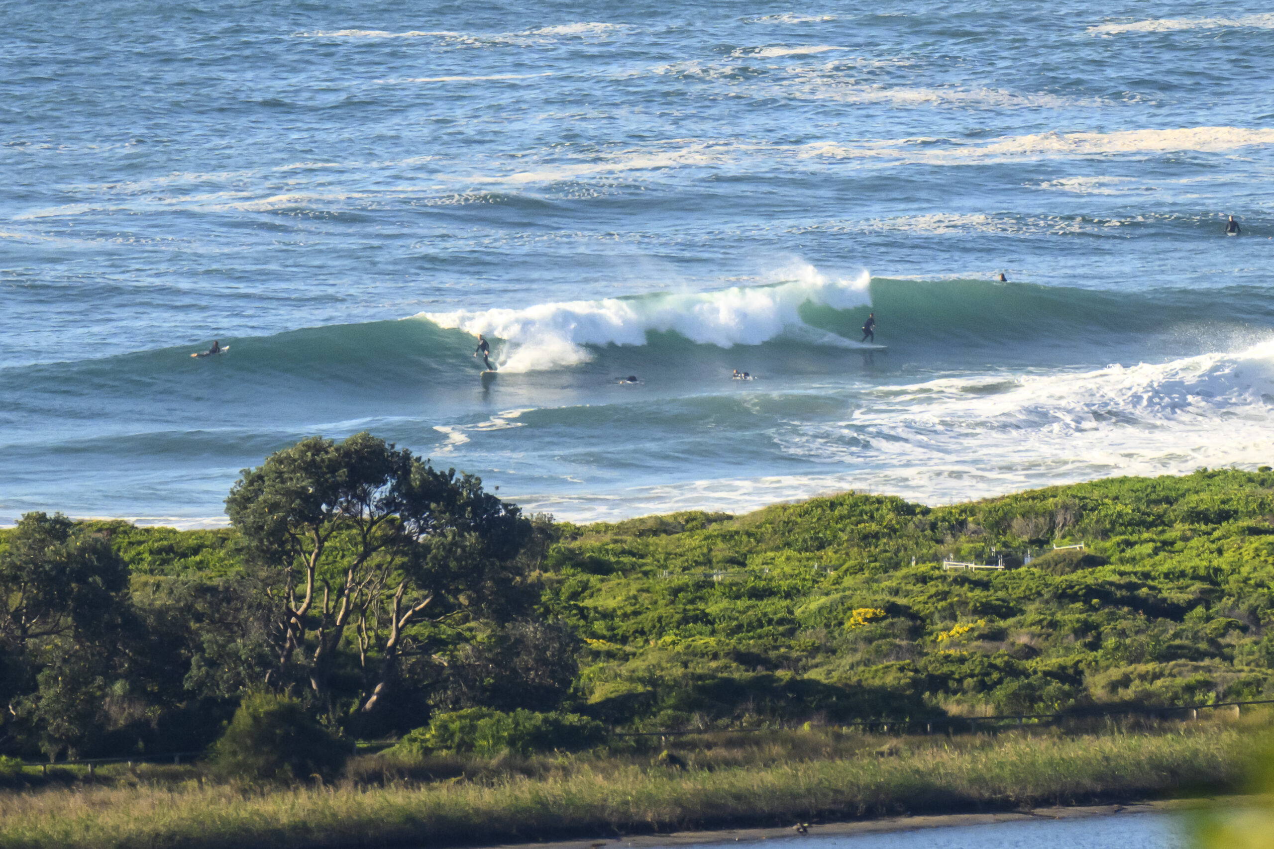
Don’t mind a bit of woofiness to your water? Can cope with the odd overhead bomb? Up for somewhat lumpy surface conditions? Then I’ve got the plan for you! Just make for your favourite se swell, sw wind spot and you should find something to match those criteria. A small crew was sampling the conditions at Dee Why this morning as the swell pushed in at about 3 metres and 9 seconds apart from the SE.
The forecast says it should be southerly, but as of 0930 wind was mainly SW at 10-15 kts. So Dee Why wasn’t too choppy looking. However the swell was pretty lumpy and inclined to section, so surfers needed to be ready to respond with quick direction changes.
From the look of this morning’s swell forecasts, the swell is peaking today and over the coming week it will gradually dwindle away to small but not quite flat conditions by next weekend.
Tide was low at a touch after 0600 and will hit the daylight high at 1245.
Enjoy your Monday!
Weather Situation
A low in the central Tasman Sea is expected to move southeast as a high pressure ridge strengthens over the state. The vigorous southerly airsteam will gradually ease on the eastern flank of the ridge by the middle of the week.
Forecast for Monday until midnight
- Winds
- Southerly 20 to 25 knots.
- Seas
- 1.5 to 2 metres.
- Swell
- Southeasterly 2 metres.
- Weather
- Large swells breaking dangerously close inshore during the day.
Tuesday 4 October
- Winds
- Southerly 15 to 20 knots tending south to southeasterly 10 to 15 knots later in the evening.
- Seas
- 1 to 2 metres.
- Swell
- Southeasterly about 2 metres.
Wednesday 5 October
- Winds
-
South to southeasterly 5 to 10 knots tending southeasterly and light during the afternoon then tending east to northeasterly up to 10 knots during the evening.
- Seas
-
Below 1 metre.
- Swell
-
Southeasterly 1.5 metres.

