Hello Friends,
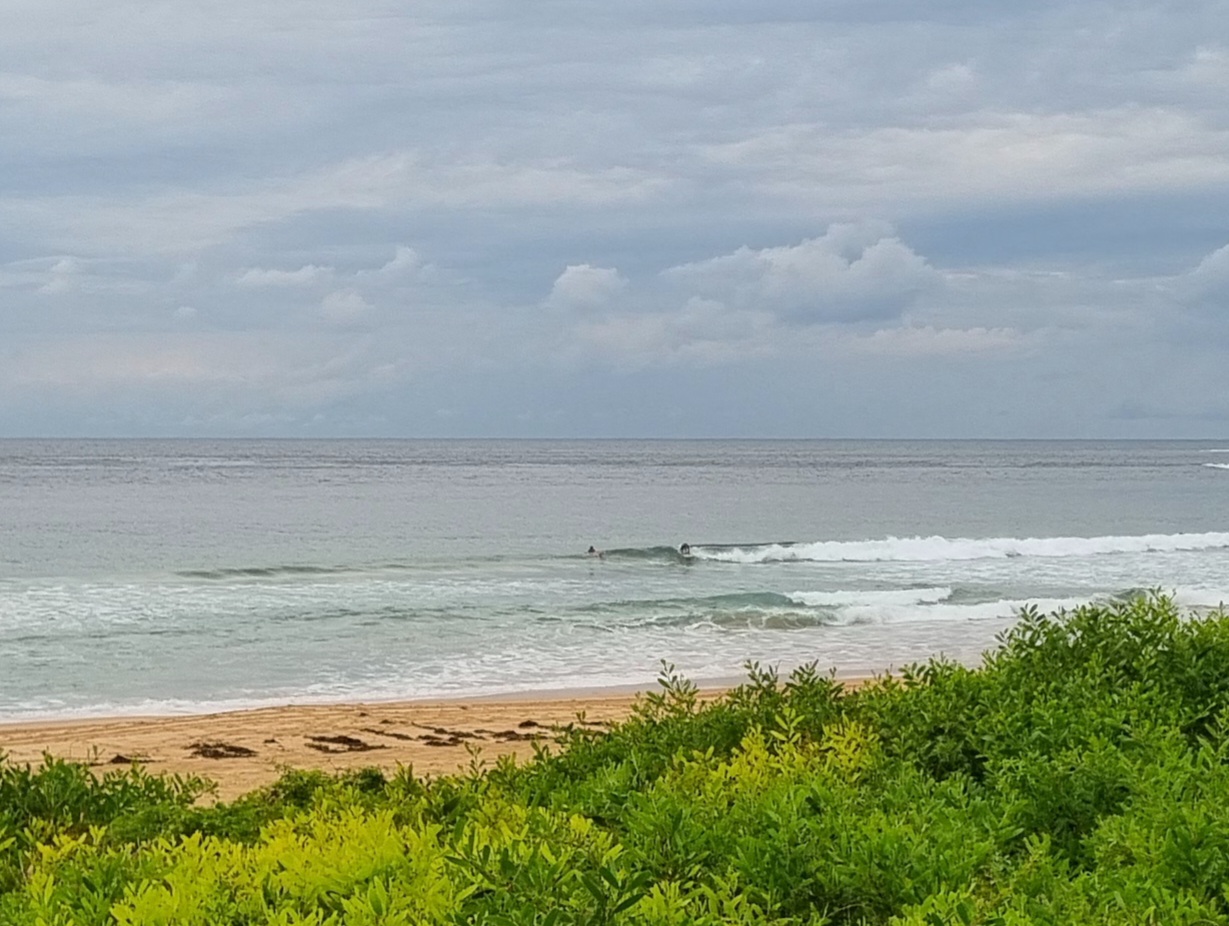
Gee, doesn’t Sydney like a SE swell? It’s nothing amazing, but we do have a couple metres of 9 to 10 second SE swell this morning, so with minimal effort you should be able to jag something. Wind was lightly offshore to begin with, but the Bureau says it’ll go around to the easterly quarters and gradually settle to the NE this afternoon. The morning session should generally be the better option, but it doesn’t look as though the swell will decline much between now and dark.
Longer term, it would seem that there should be a little something again tomorrow, but probably less consistent and smaller than today. Beyond that, the indicators are pointing toward marginal to flat. So get out there if you can in the next couple days…
Have yourself a fun Wednesday and go well with your plans!
TIDES: L @0830, H @1500
Weather Situation
A high pressure system centred near Tasmania extends a ridge along the New South Wales coast. This ridge will gradually weaken as the high drifts towards New Zealand today, allowing a low pressure trough to move into the far west of the state overnight before continuing to the coast later Thursday and Friday. Following this, there are indications that a cold front may sweep across the region later on the weekend.
Forecast for Wednesday until midnight
- Winds
- Southerly 5 to 10 knots tending northeast to southeasterly during the afternoon then northeasterly up to 15 knots by evening.
- Seas
- Below 1 metre.
- Swell
- Southeasterly 1.5 to 2 metres.
Thursday 6 October
- Winds
- North to northeasterly 5 to 10 knots becoming northeasterly 10 to 15 knots around midday then increasing to 15 to 20 knots during the afternoon.
- Seas
- Below 1 metre increasing to 1 to 1.5 metres by early evening.
- Swell
- Southeasterly about 1.5 metres.
Friday 7 October
- Winds
-
North to northeasterly 5 to 15 knots increasing to 15 to 25 knots during the evening.
- Seas
-
Up to 1.5 metres.
- Swell
-
Southeasterly 1 metre.


